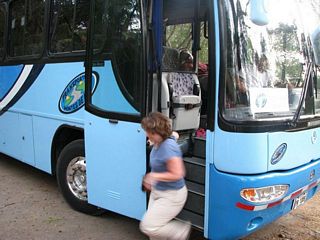
January 7: Santa Rosa
Steven Dutch, Professor Emeritus, Natural and Applied Sciences, University of Wisconsin - Green Bay
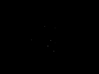 |
This morning, after waiting out a few clouds, the Southern Cross was beautifully visible. So were Alpha and Beta Centauri, but there was no good camera location to photograph them. |
 |
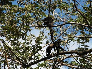
Closeup of the Southern Cross. Next morning, when I hoped to have
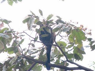
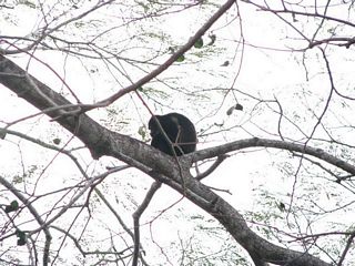
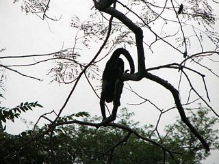
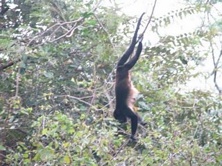
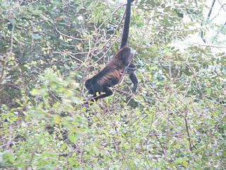
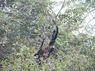
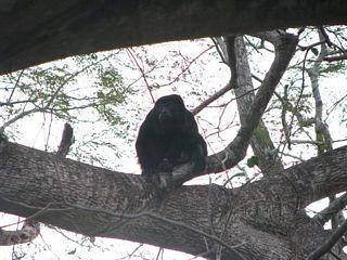
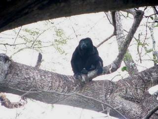
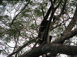
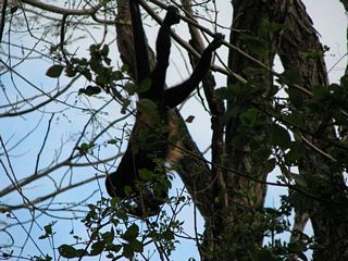
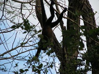
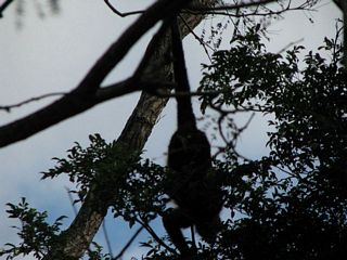
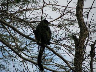
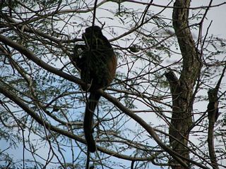
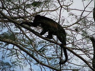
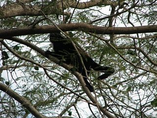
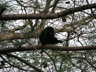
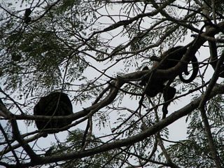
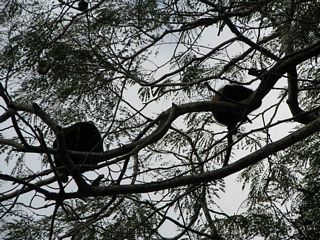
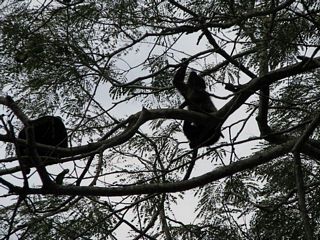
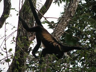
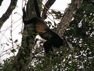
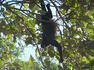
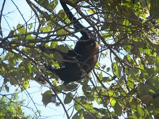
a group viewing, it was too hazy to see anything. Below: Howler monkeys around the cafeteria. |
Monkey Business
 |
 |
 |
 |
 |
 |
 |
 |
 |
Hey! You lookin' at me? Yeah, you. I'm talkin' to you. |
 |
 |
 |
 |
 |
 |
 |
 |
 |
 |
 |
 |
 |
 |
 |
 |
 |
|
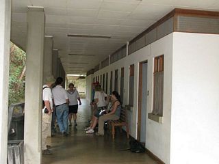 |
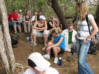
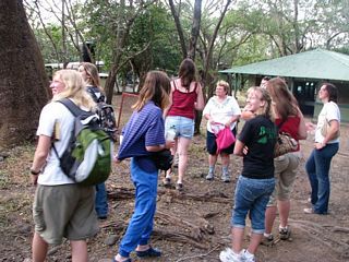
Waiting for the morning hike. |
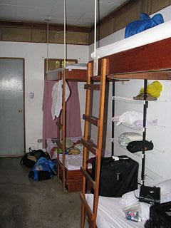 |
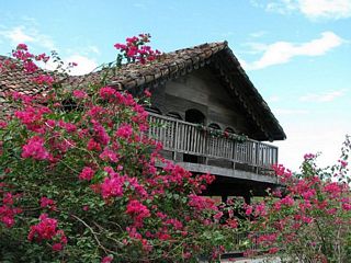
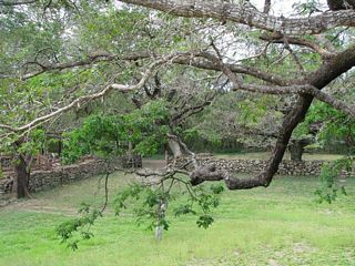
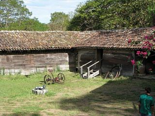
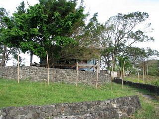
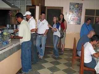
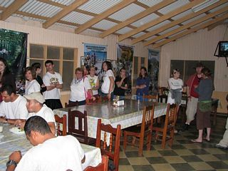
Compared to the station, Santa Rosa is luxurious. |
 |
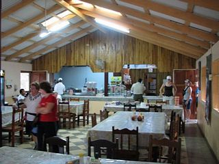
The Santa Rosa Research Station has a nice dining area. |
 |
 |
 |
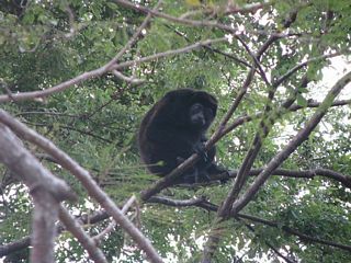
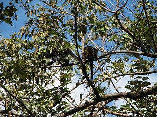
Six howler monkeys. |
 |
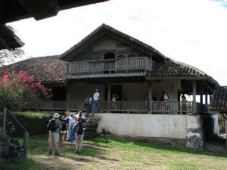
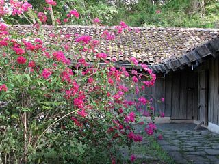
La Casona
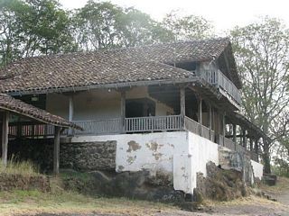 |
Hacienda Santa Rosa, better known as La Casona, is one of Costa Rica's most prized historic sites. Most of Costa Rica's few battles have been fought near here because it was the first important building on the way south from Nicaragua. |
 |
In 1856, an American adventurer named William Walker tried to conquer Central America to create more slave states. He seized power in Nicaragua but Costa Rican volunteers repelled him here. So he turned his attention north and ended up in front of a firing squad in Honduras in 1860. What really did Walker in was he made enemies of both Cornelius Vanderbilt and the British. |
 |
 |
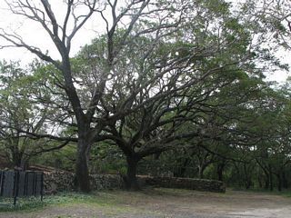 |
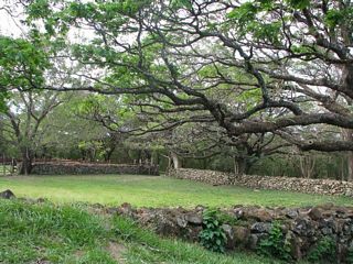
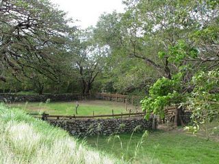
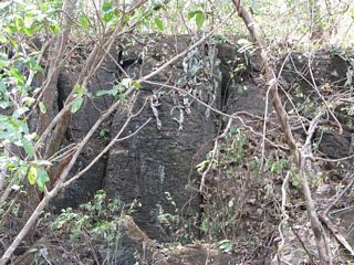
The stone corrals at La Casona are very photogenic. |
 |
 |
 |
 |
 |
|
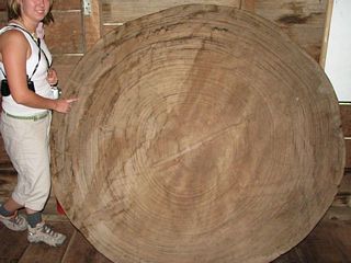 |
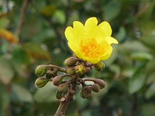
Why big trees in the tropics are misleading. This trunk is over a meter in diameter but the growth rings are up to a full centimeter apart. There are actually just under 100 rings. I counted them. |
 |
|
 |
 |
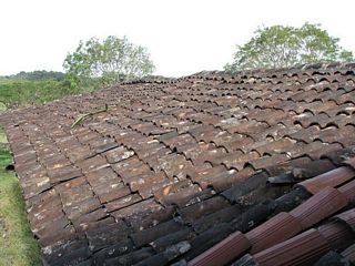 |
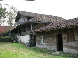
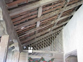
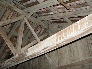
In Europe, this style of roof, with one set of tiles concave up
and an overlying set concave down, is called "monk and nun"
tiling. Draw your own conclusions. Below: How durable do you think this roof would be in a strong earthquake? |
 |
 |
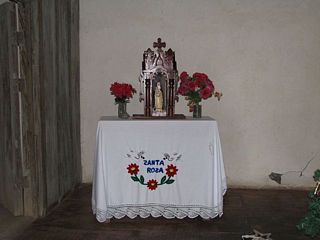 |
Small altar in one of the outbuildings. |
 |
 |
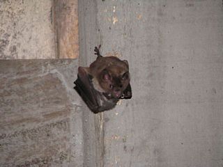 |
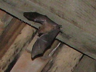
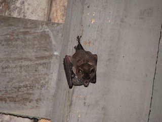
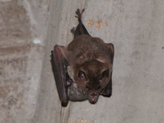
There are bats roosting in the outbuildings. Above: How do you catch a bat in flight? Answer, aim at a point the bat passes and wait. Below: this bat is nursing a baby. |
 |
 |
 |
|
 |
|
 |
|
 |
|
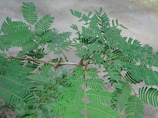 |
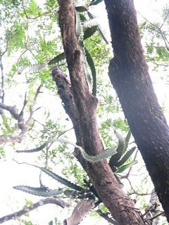
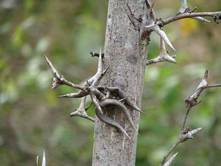
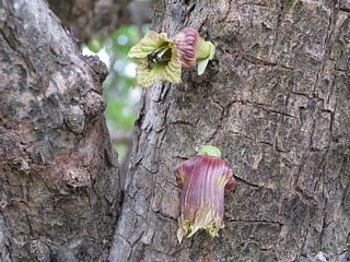
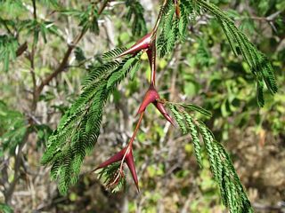
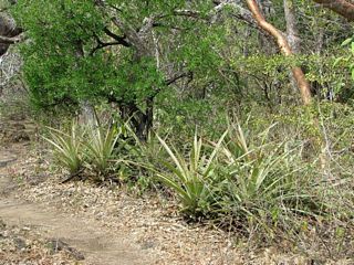
Bullhorn acacia |
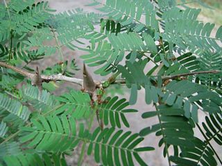 |
Closeup of the hollow thorns and the determined ants who live inside and protect the tree. |
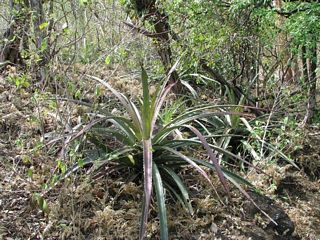
Sendero Los Patos
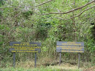 |
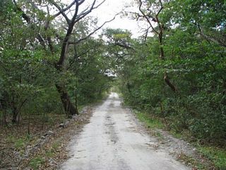
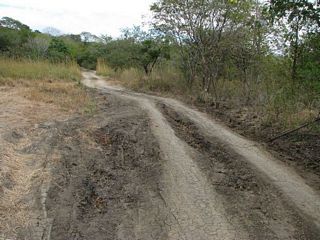
Road to Playa Naranjo (8 miles or 13 kilometers) away. Warning |
 |
|
 |
|
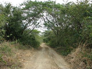 |
Gee, the road looks pretty drivable so far. |
 |
More bullhorn acacia |
 |
|
 |
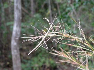 |
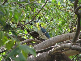
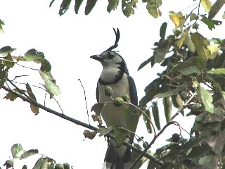
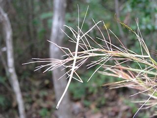
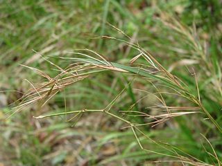
| Above and below: find the walking stick. | |
 |
 |
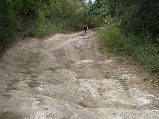 |
I think this qualifies as "bad condition" |
 |
|
 |
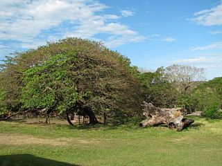
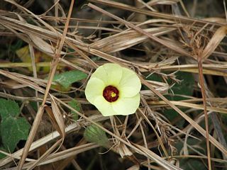
This forest is formerly grazed land and is being allowed to recover, but the grasses are imported from Africa and have displaced a lot of native vegetation. |
 |
|
 |
 |
 |
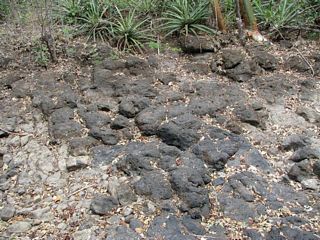
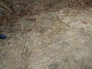
Pillows are soft to lie on but hard on the feet. |
 |
 |
 |
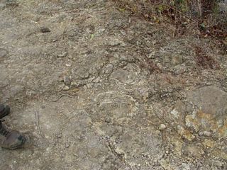
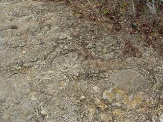
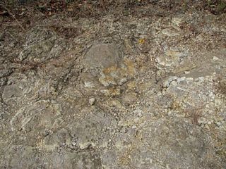
Here we have pillow lava atop yellowish clay. The clay is probably devitrified glass. When the lava meets water, the surface crystallizes to glass instantly, but the glass is chemically unstable and soon alters to a microcystalline mush of clay minerals. |
 |
 |
 |
|
 |
|
 |
|
 |
 |
 |
|
 |
 |
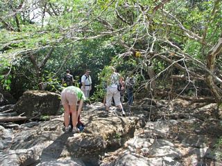 |
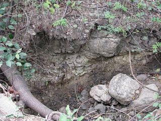
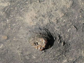
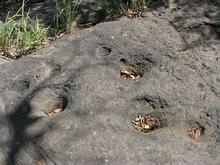
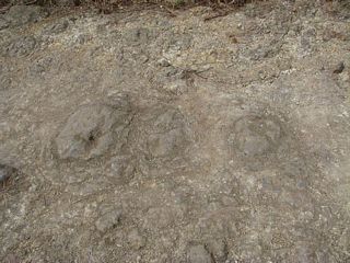
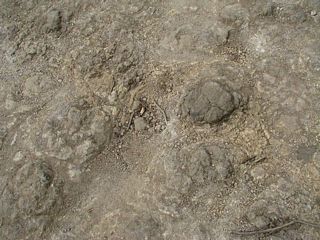
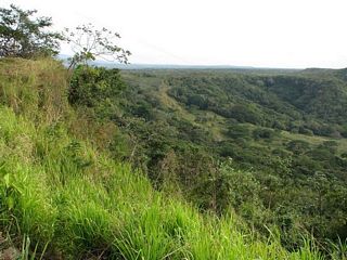
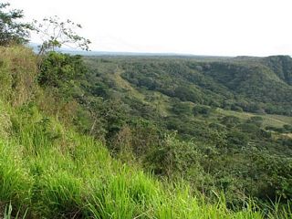
Sendero Los Patos crosses a small stream Below: in the rainy season this stream carries a lot more water, judging from the nice potholes. |
 |
 |
 |
 |
 |
|
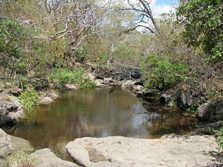 |
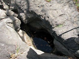
This water hole is presumably where the ducks land that give Sendero Los Patos its name. |
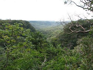 |
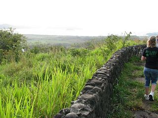
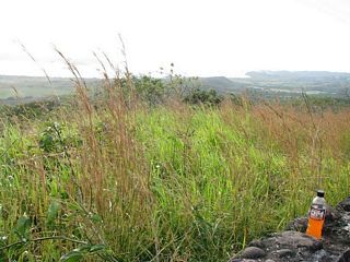
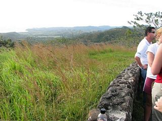
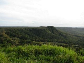
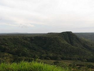
The canyon deepens dramatically below the trail crossing. Judging from the mesa topography, the ophiolite must be nearly horizontal. |
 |
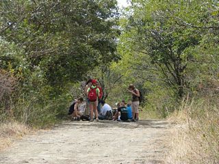
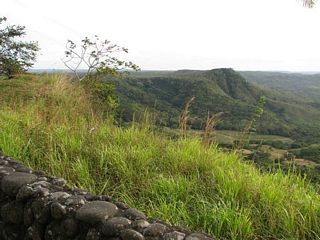
Lunch stop at the overlook. |
 |
|
 |
photosynthetic bark. |
 |
|
 |
|
 |
|
 |
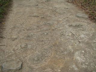
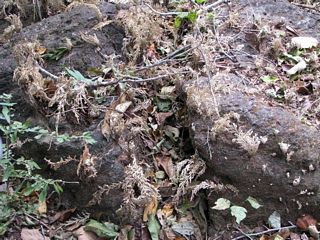
Left and below: More pillows, many with concentric structure. |
 |
 |
 |
 |
At Santa Rosa Research Station
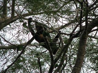
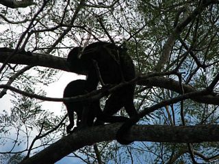
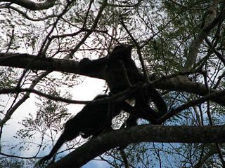
| Below: the howlers were still hanging around when we got back. | |
 |
 |
 |
 |
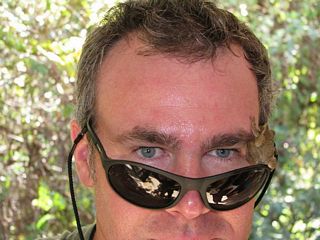 |
Professor Dan Meinhardt developed this strange growth on his face. |
 |
Nasty hobbits stole Gollum's precioussss... |
 |
 |
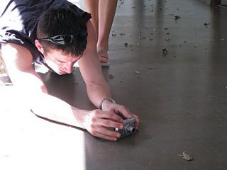 |
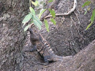
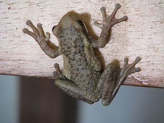
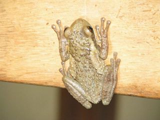
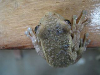
Jesse having a close encounter of an amphibian kind. |
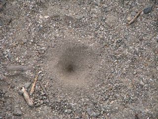 |
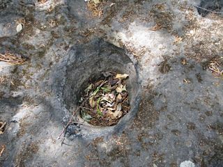
Ant lion pit, about the size of a quarter. |
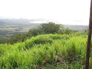
Bahia de Salinas
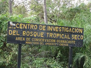 |
Sign at the entrance to the research area. "Center for investigation of tropical dry forest. Guanacaste Conservation Area Ministry of Environment and Energy." |
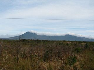 |
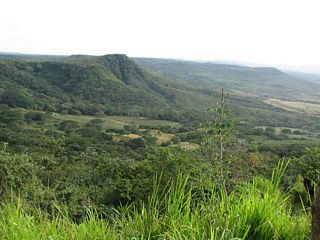
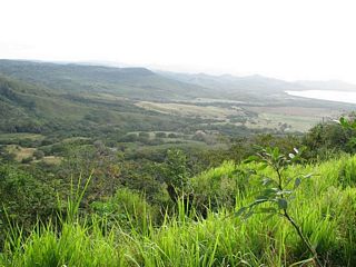
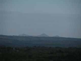
The peak to the left is Volcan Orosi (1390 meters or 4570 feet). It is one of a chain of four cones, of which the southernmost (rightmost) is Cerro Cacao (1659 m or 5441 feet). None of them have erupted in the last couple of thousand years. |
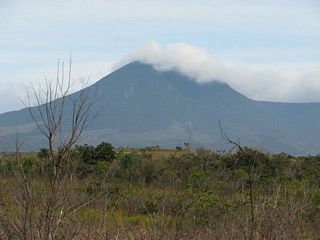 |
Volcan Orosi |
 |
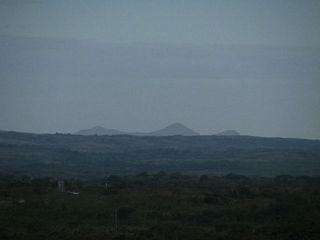
Judging from appearances, Cerro El Hacha (570 m or 1870 feet) is the most recent volcanic activity in the area. |
 |
Cerro El Hacha (foreground) and Orosi in the background, from further north. |
 |
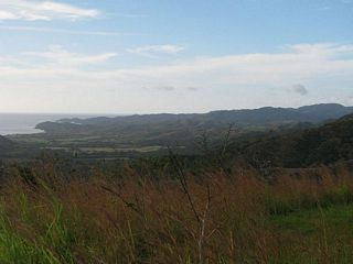
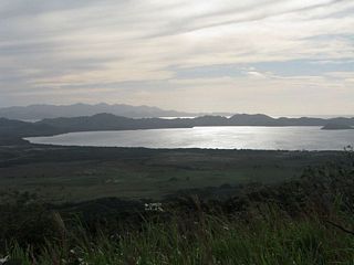
Views of Bahia de Salinas, a small bay just south of he Nicaraguan border. |
 |
 |
 |
 |
 |
The peninsula at left is Punta Descartes. |
 |
 |
 |
|
 |
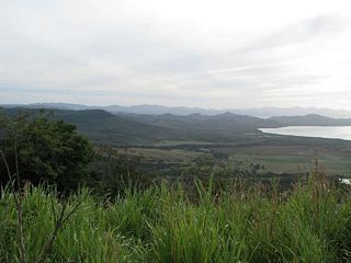
Looking north along the coast. The nearest bump on the coast is
about where the border runs. Costa Rica, stable and relatively prosperous, has an illegal immigration problem from both Nicaragua and Panama, so avoiding casual approach to the border is a good idea. |
 |
 |
 |
|
 |
|
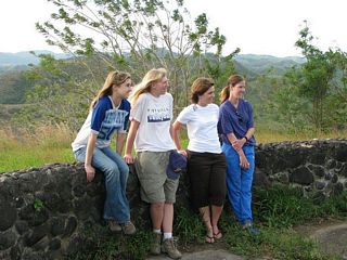 |
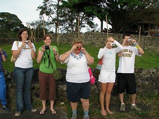
Jaime, Melissa, Kelly Hirsch and Teri Huben |
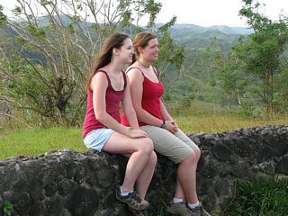 |
Sarah and Jenny |
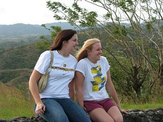 |
Danielle and Sam(antha) Olson |
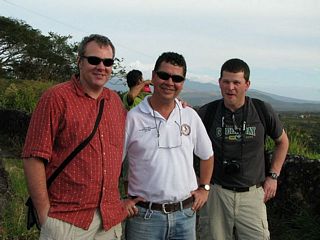 |
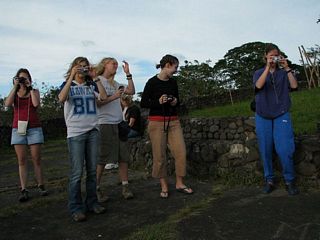
Left to right: Dan Meinhardt, Giovanny, Matt Dornbush |
 |
|
 |
|
 |
 |
 |
|
 |
 |
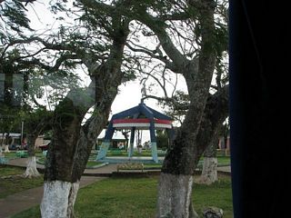 |
Town square in La Cruz, closest town to the border. |
Back at Santa Rosa
 |
Dan Meinhardt (red shirt in the bus) dozed off, so we all tiptoed out quietly... |
 |
...and waited... |
 |
Dan emerging to applause. |
 |
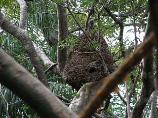
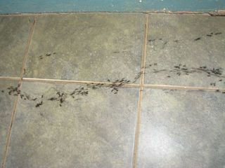
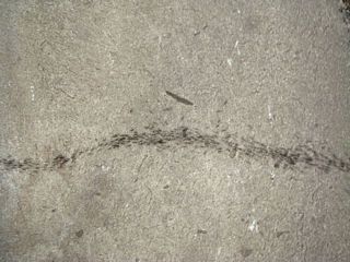
Some adventure novels would have you believe great sheets of army ants miles wide advance across the landscape, devouring everything in their path. They're formidable enough, so the recommended way to deal with them is stay out of their way. |
 |
 |
 |
|
 |
|
 |
|
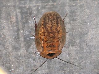 |
♪ La cucaracha, la cucaracha ♫ These dudes have been around since the Carboniferous. This one is a mere two inches long. |
Return to Professor Dutch's Home Page
Return to Costa Rica 2008 Index
Created 18 January 2008, Last Update 11 June 2020