Soils and Geology of Wisconsin Field Trip, September-October 2006
Steven Dutch, Professor Emeritus, Natural and Applied Sciences, University of Wisconsin - Green Bay
This trip consisted of three day trips beginning and ending at UWGB. One trip went northwest to examine the Precambrian rocks, the second covered Door County, and the third examined the Fox Valley.
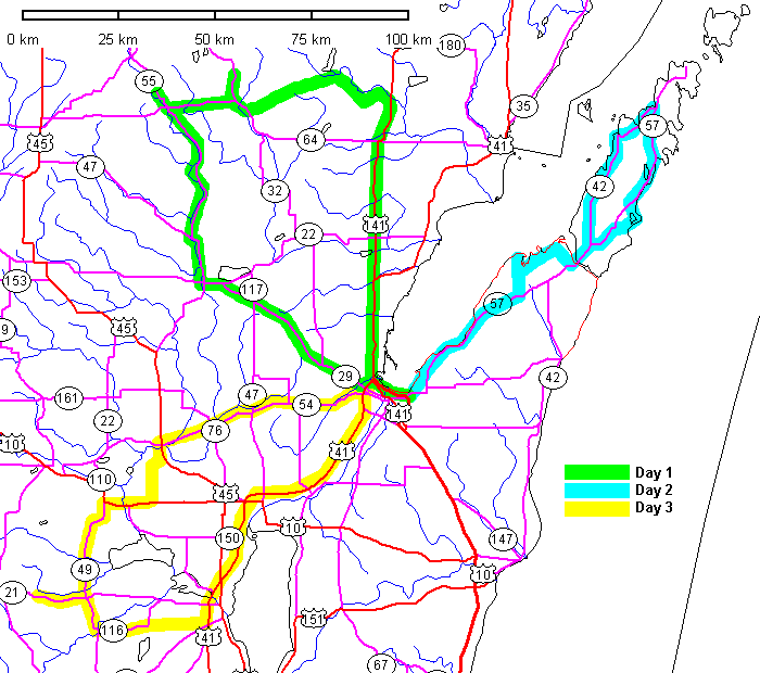
Day 1: The Precambrian of Northeast Wisconsin (September 23, 2006)
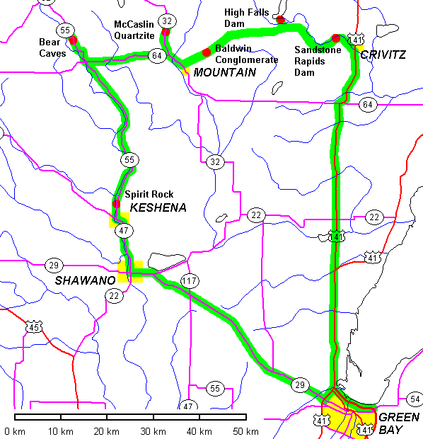
Sandstone Rapids Dam
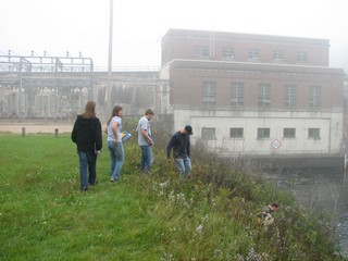 |
Not the nicest way to start the morning. |
 |
A slippery scramble allows you to get to the outcrops. |
 |
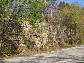
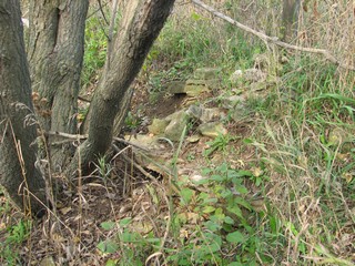
One of only two Cambrian outcrops in this area of Northeast Wisconsin. |
Johnson Falls Dam
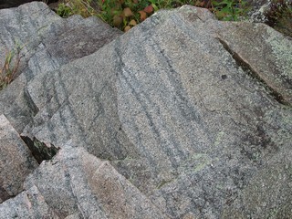 |
Possible flow banding in the Penokean granite. |
 |
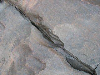
Intricate chemical weathering textures. |
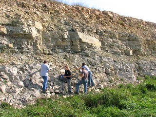
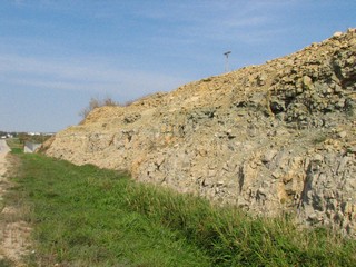
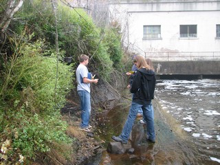
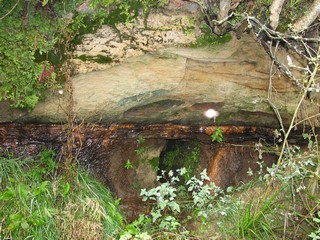
High Falls Dam
 |
The outcrops above the dam are a standard stop for the introductory geology classes. Here we are looking at the outcrops below the dam. |
 |
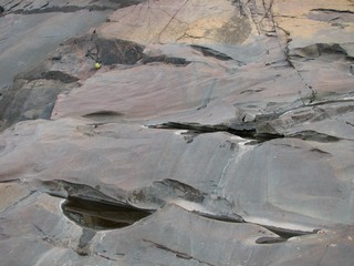
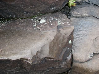
Apart from the igneous rock itself, the most remarkable feature here is the wonderful erosional textures. These do not follow the present discharge from the dam and may be a product of glacial melt water. |
 |
 |
County W And The Baldwin Conglomerate
 |
We scoped this out in August and the road was all but impassable due to construction. A week before the trip it was well graded and partially paved. By trip day it was all done. Stopping is still not very safe, though, because the shoulders are narrow and steep. |
 |
Examining a brand new outcrop of Waupee Volcanics. |
 |
|
 |
Baldwin metaconglomerate. |
 |
|
 |
View from the outcrop. |
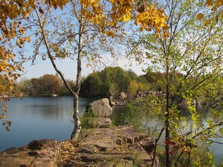
McCaslin Mountain
 |
Quartz Hill Trail leads about 500 meters into the woods east of State Highway 32. It was once an overlook but has since grown over. There's an exposure of the uppermost McCaslin Quartzite |
 |
|
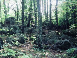
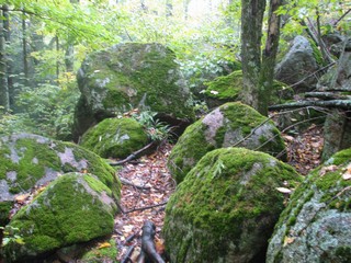
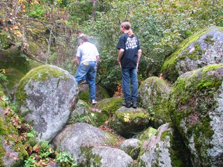
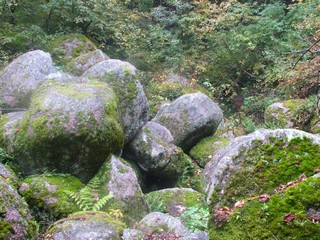
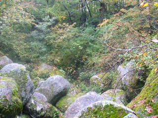
Bear Caves
Spirit Rock
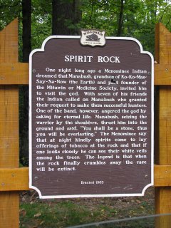 |
The placard tells the story of how an Indian warrior angered the god and was turned into stone. |
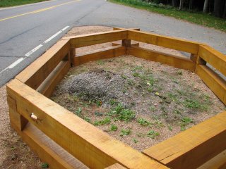 |
According to legend, when the stone crumbles away to nothing the Menominee race will end.
Melancholy thought. There's a song that goes "nothing lasts forever but the earth and sky," and geologists know that not even the earth and sky last forever.
|
Day 2: The Silurian and Pleistocene of Door County (September 24, 2006)
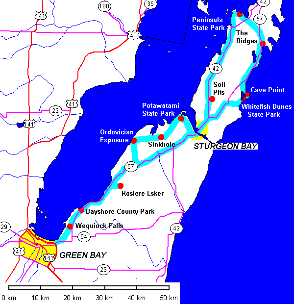
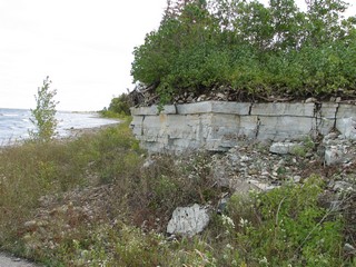
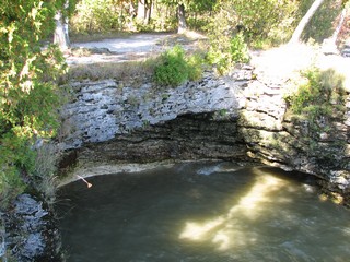
Wequiock Falls
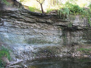 |
The lip of Wequiock Falls, with blue Ordovician Maquoketa Formation underlying the lip of Silurian dolomite. |
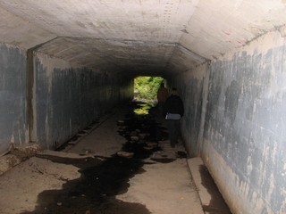 |
The culvert beneath the road is easily passable when the stream is low. |
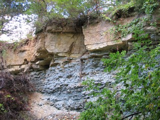 |
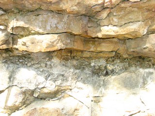
Downstream, the contrast between the buff, blocky Silurian dolomite and the blue, shaly Maquoketa Formation is very clear. |
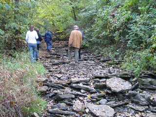 |
Imbricate slabs in the stream bed. |
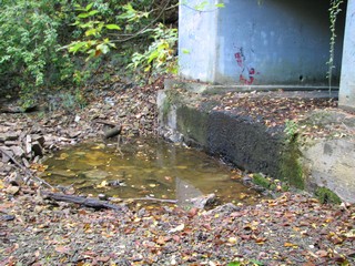 |
A mini plunge pool on the downstream end of the culvert. |
Bayshore County Park
 |
Joints in the dolomite are visible though the thin soil cover because moisture and better rooting conditions support slightly better plant growth. |
 |
View across the bay to the bluffs north of Dyckesville. |
Rosiere Esker
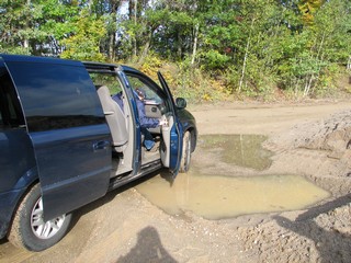 |
No, we're not being inconsiderate, we planned very carefully to park your door next to a puddle! |
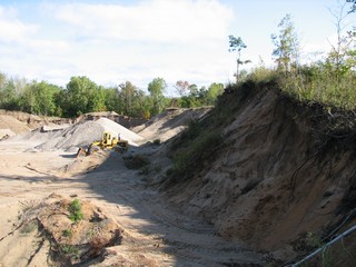 |
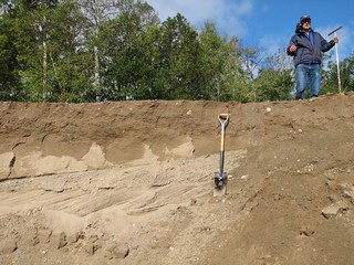
The esker is actively worked for sand and gravel. |
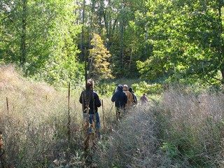 |
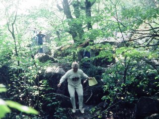
Trooping down the side slope of the esker. |
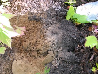 |
Down in the kettle, we expose the characteristic white E horizon of a spodosol. |
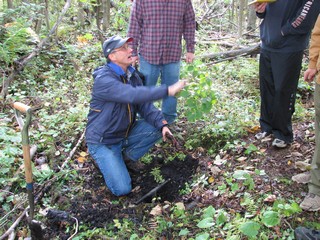 |
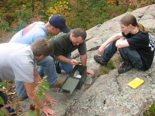
Kevin Fermanich shows that the soil auger has plunged a full two meters into the peat and we're in a floating bog. (Actually, we pretty much expected it) |
 |
Wonderful cross-bedding in the esker. |
Ordovician Near Little Sturgeon
 |
Exposures of the Burnt Bluff Forrmation. |
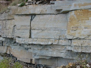 |
Close up of the finely laminated dolostone and its chert nodules. |
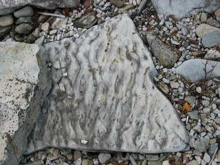 |
Ripple marks in the dolostone |
 |
|
 |
Looking northeast along the bay shore. |
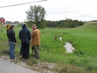
Sinkhole
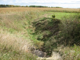 |
The water goes in here... |
 |
And it comes out here, a couple of kilometers away, in an hour or so. This has been verified with dye tracers. |
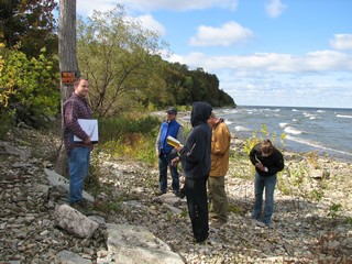
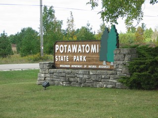
Potawatami State Park
 |
|
 |
|
 |
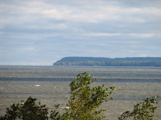
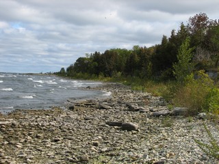
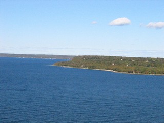
Looking across the mouth of Sturgeon Bay. The bare cliffs on the far shore are old quarry faces. The topographic steps are former beach cliffs cut during higher stands of the Great Lakes. |
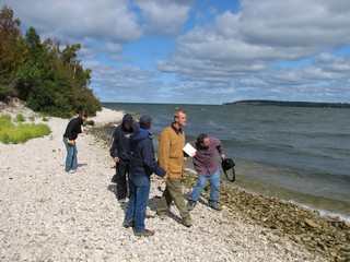 |
Not the best day to skip pebbles, but Professor Luczaj is undeterred. |
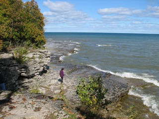
Whitefish Dunes State Park
 |
Another fine mess you've gotten us into. Every so often the Soylent Corporation comes by to collect the stranded visitors. |
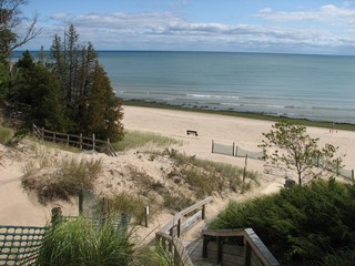 |
Looking down from one of the dunes. |
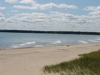 |
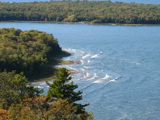
Waves breaking obliquely on the beach. Which way is the beach drift moving? |
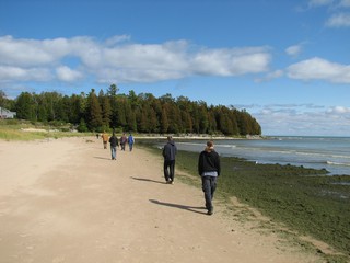 |
Mmmm. Nothing says "wade in the water" like a wide swath of green .... stuff along the shoreline. Compare this with the clean beach above, which is more exposed to wave action. |
 |
|
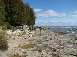 |
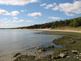
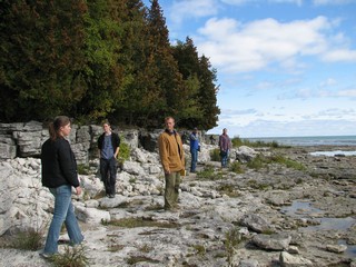
At the north end of the beach we encounter Silurian outcrops. Nice wave-cut platform and low beach cliff. |
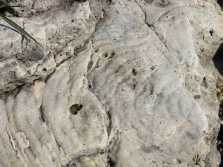 |
These odd concentric ripples may be feeding tracks of some sort. The other instructors were cool to my suggestion of pahoehoe dolomite. |
 |
|
 |
|
 |
Looking north toward Cave Point. |
Cave Point County Park
 |
Here's the cave. |
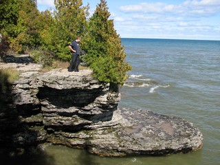 |
And here's the point. |
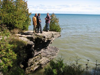 |
|
 |
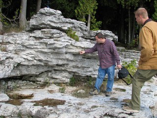
Wave cut platform, with a low beach cliff and undercut cliff base. |
The Ridges Sanctuary
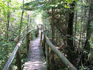 |
Boardwalks protect the fragile ecosystem. The Ridges are a relict fragment of boreal forest on a tract of a couple of dozen former beach ridges. |
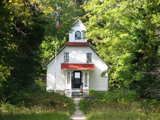 |
One of the two range lights at the sanctuary |
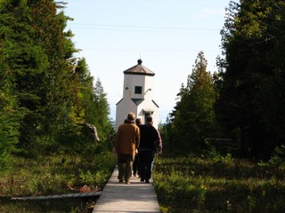 |
The outer range light. Ships entering the bay lined up the two lights to get on the safest course. |
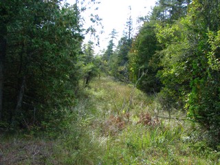 |
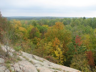
Looking along a swale. The slightly higher ridges are tree-covered, the low swales are open and swampy. |
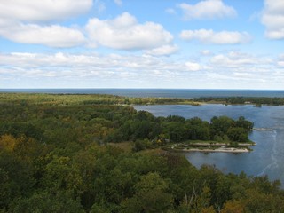
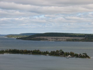
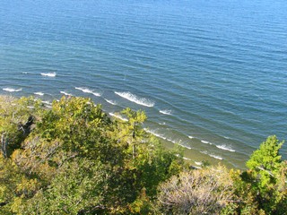
Peninsula State Park
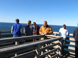 |
At the top of the lookout tower. |
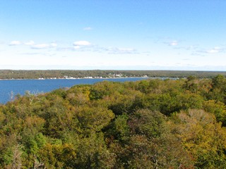 |
Looking back toward Sister Bay. |
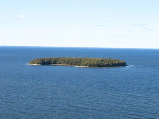 |
Horseshoe Island. |
 |
|
 |
Looking north. Note again the former shoreline cliff forming a step in the bluffs. |
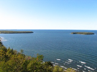 |
Looking west. Horseshoe Island on the right. |
 |
Nice example of wave refraction. |
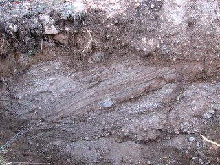
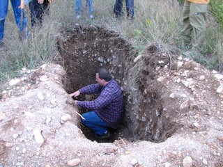
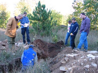
Pleistocene Stratigraphy
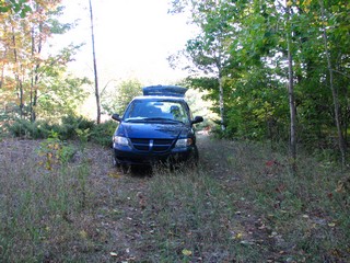 |
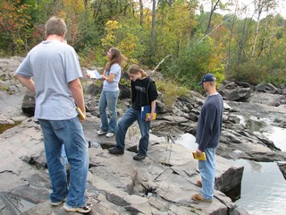
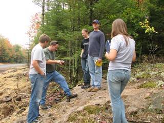
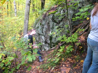
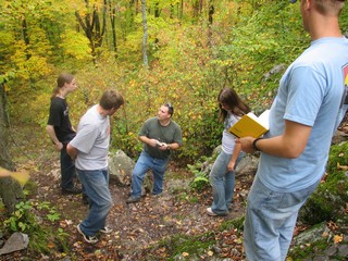
We're looking for some test pits done preparatory to developing a parcel north of Sturgeon Bay. This is what lost looks like. |
 |
|
 |
|
 |
|
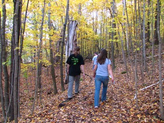
Day 3: The Precambrian and Paleozoic of the Fox River Valley (October 8, 2006)
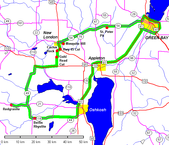
Berlin Quarry
 |
On the east side of Berlin, three quarries adjoin the town cemetery. The quarries extract Precambrian rhyolite but two of them have Cambrian basal conglomerate preserved. This is the southernmost quarry; the basal conglomerate is the large brown mass left of center. |
 |
The central quarry is hidden in the woods. |
 |
View of the north wall with rhyolite at the waterline and Cambrian conglomerate in the upper half of the exposure. |
 |
Looking west toward Berlin. |
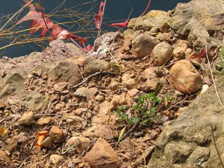 |
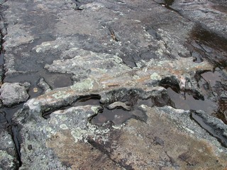
Cambrian basal conglomerate. |
 |
|
 |
|
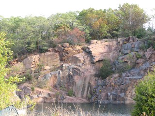
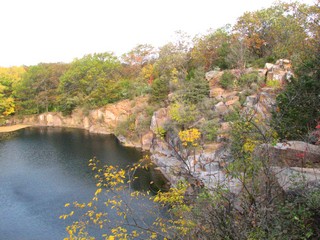
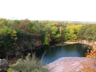
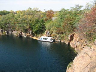
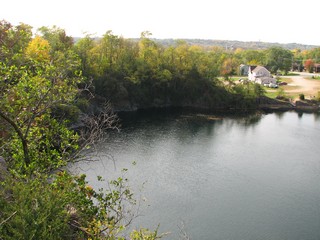
Redgranite Quarry
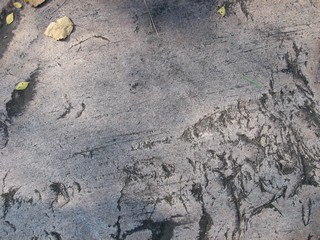 |
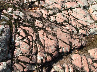
Glacial striations and chatter marks on Post-Penokean granite. |
 |
The spine in the center of the picture is a mafic dike that extends across the quarry. |
 |
A bit of fall color. |
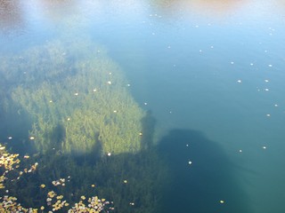 |
The quarry is very deep, with clear water. Scuba divers practice deep dives here. |
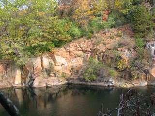
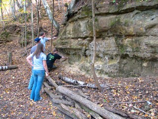
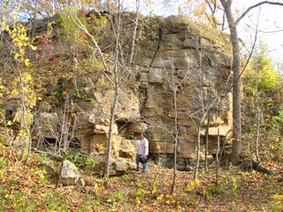
Guhl Road Cut
 |
Prairie du Chien escarpment on Highway 45 near Readfield. |
 |
The contact between the Prairie du Chien Dolomite and the underlying Cambrian sandstones is exposed here. |
 |
Nodular concretions along the contact. |
Cactus Rock
 |
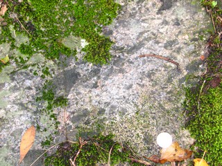
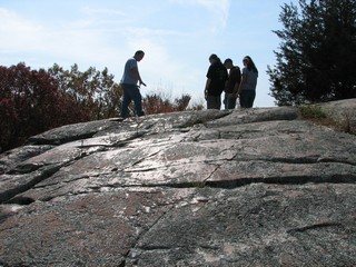
Close-up of the Post-Penokean granite, showing spheroidal weathering and mosses colonizing joints. |
 |
Glacial polish |
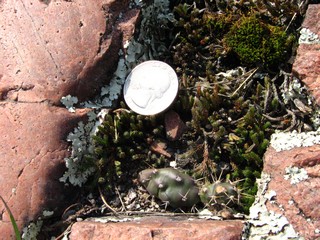 |
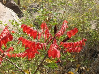
Yes, there are tiny cactus on the rock. |
Prairie du Chien Dolomite on Highway 45
Mosquito Hill
 |
Just east of New London is Mosquito Hill Nature Center. |
 |
Cambrian sandstone on the north flank of the hill. |
 |
At the west end of the hill is an old quarry. Most of the face is dolomitic sandstone but the top meter or so is dolomite. |
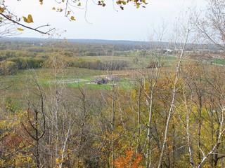 |
Looking west from Mosquito Hill |
 |
Gradational contact between Cambrian dolomitic sandstone at the base and Ordovician dolomite at the top. |
St. Peter Pit, Seymour
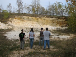 |
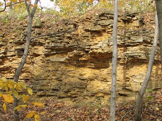
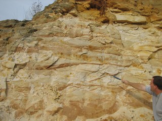
A small pit west of Seymour exposes St. Peter sandstone. This is about as hyper-mature as sandstone can get. |
 |
|
 |
Scraps of overlying dolomite crop out just above the pit. |
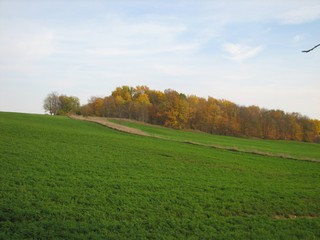 |
Looking southeast toward the top of the mesa. Mesa? In Wisconsin? Flat-topped hill, check, resistant cap, check. What part of mesa doesn't apply here? |
Return to Professor Dutch's Home Page
Created 26 October 2005, Last Update 15 January 2020