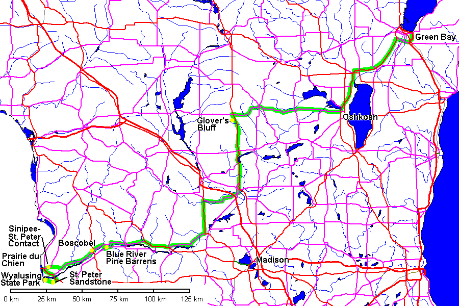
Soils and Geology of Wisconsin Field Trip, October 2008
Steven Dutch, Professor Emeritus, Natural and Applied Sciences, University of Wisconsin - Green Bay
This trip focused on southwestern Wisconsin, but visited other localities en route.
Friday October 19
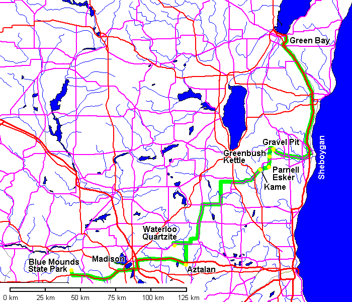
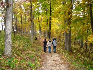
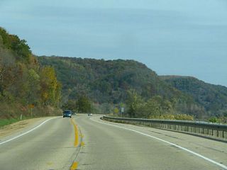
The Kettle Moraine
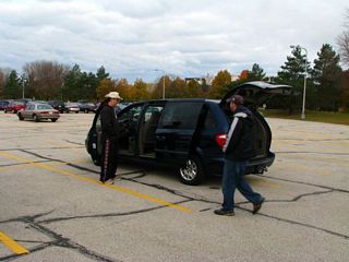 |
Loading up. |
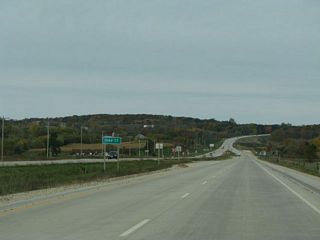 |
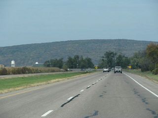
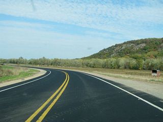
Approaching the Kettle Moraine from the east near Plymouth. |
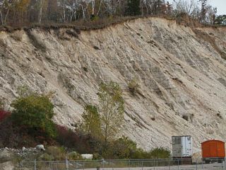 |
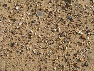
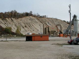
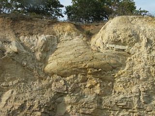
This gravel pit shows that much of the material in the Kettle "Moraine" is actually water deposited. |
 |
|
 |
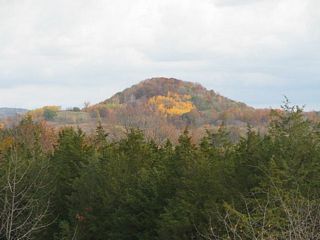
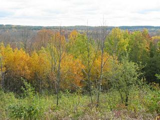
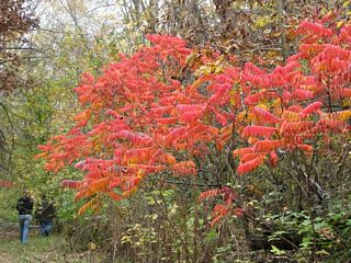
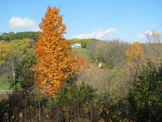
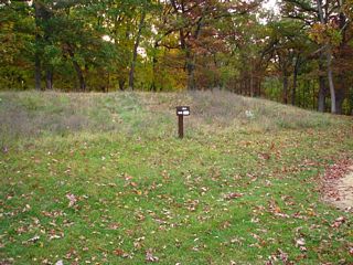
Fall colors at Greenbush Kettle. |
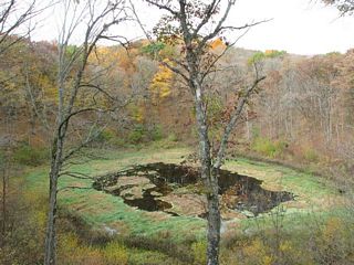 |
Greenbush Kettle |
 |
Left and below: Parnell Esker |
 |
 |
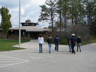 |
The Ice Age Visitor Center in Dundee |
 |
|
 |
|
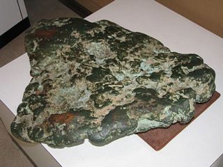 |
Among the materials transported by the ice were large nuggets of copper from the Keeweenaw Peninsula of Michigan. This one is about 8 centimeters thick and 40 centimeters on a side (3 by 16 inches). |
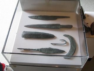 |
The Old Copper Culture hammered copper into a wide variety of artifacts. |
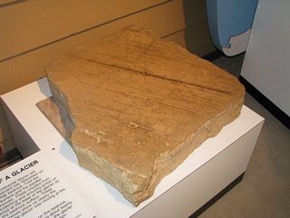 |
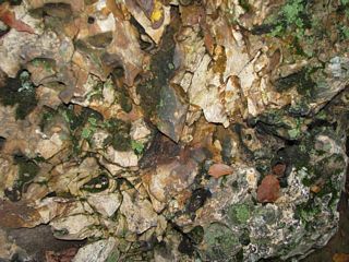
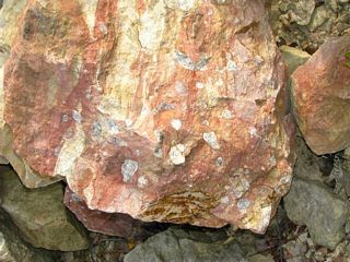
Ice-polished and striated dolostone. |
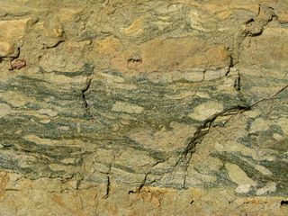
Waterloo Quartzite
 |
The Waterloo Quartzite is exposed over a wide area in southeastern Wisconsin and even more widely encountered in the subsurface. |
 |
|
 |
 |
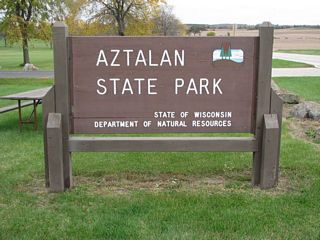
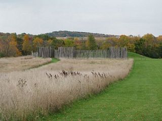
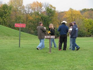
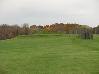
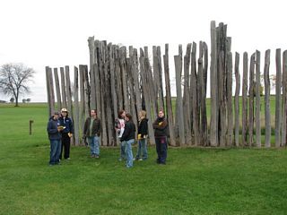
Aztalan
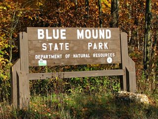
Blue Mounds
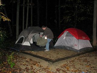 |
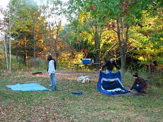
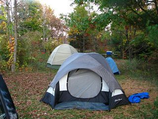
The weather deteriorated all afternoon and it began raining hard toward dusk. Fortunately, it didn't last long. We waited it out in Mount Horeb while eating dinner, then set up camp in the dark. |
 |
 |
Saturday, October 18
Blue Mounds
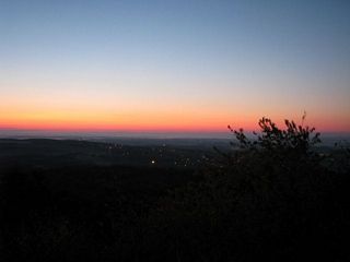 |
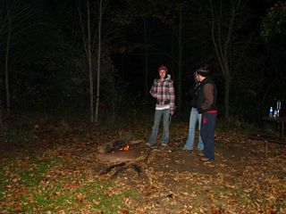
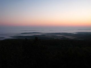
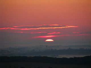
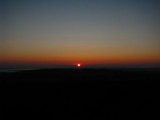
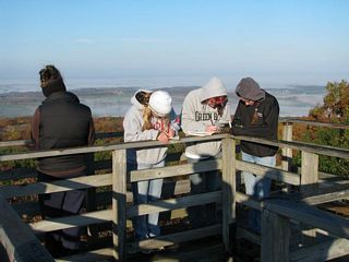
One stalwart soul (ahem) braved the darkness and the chill to watch the sun rise. |
 |
 |
 |
 |
 |
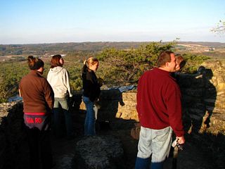
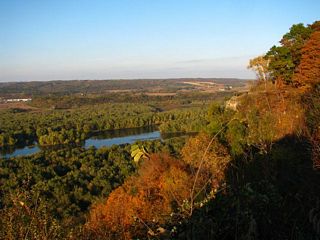
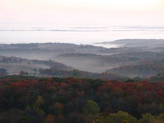
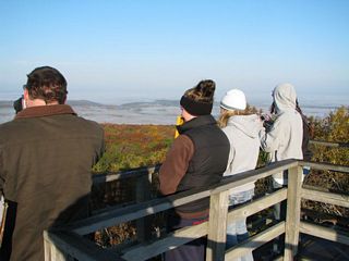
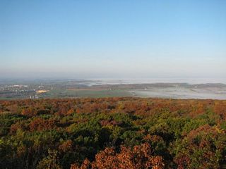
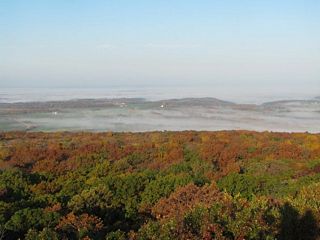
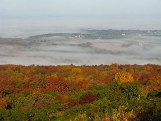
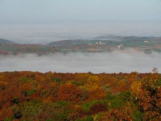
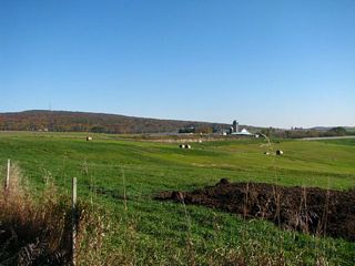
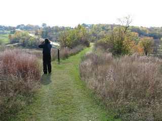
When we visited the summit after breakfast, we were greeted with a gorgeous view and mist still in the valleys. |
 |
 |
 |
 |
 |
 |
 |
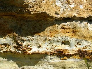
The rock here, unlike all other Silurian rocks in Wisconsin, is almost all chert, but with enough fossil molds to date it as Silurian. The warm fluids that deposited ores in Southwest Wisconsin had to exit somewhere. Maybe here? |
 |
|
 |
 |
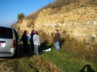 |
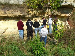
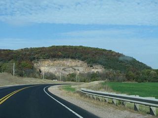
Viewing the Platteville-Galena dolomite near the base of the Mounds. |
 |
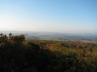
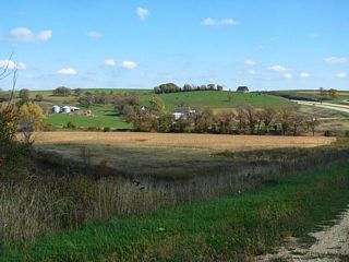
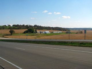
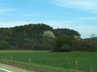
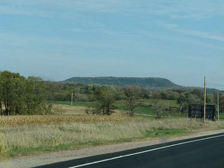
Blue Mounds rising above the surrounding terrain. The lower terrain is basically the upper surface of the Platteville-Galena dolomite. The Maquoketa Formation is not easily seen because of soil cover. |
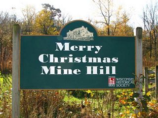
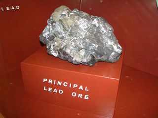
Mineral Point
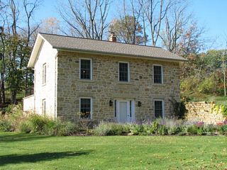 |
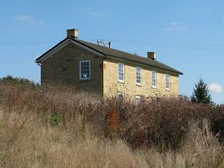
Mineral Point is noted for its old stone houses from mining days. |
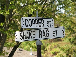 |
Copper Street's name is obvious. Shake Rag Street got its name from the miner's wives waving rags to signal their husbands to come home for lunch. |
 |
|
 |
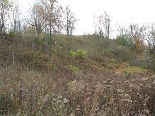
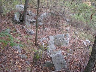
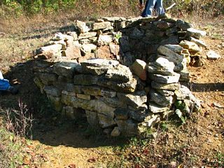
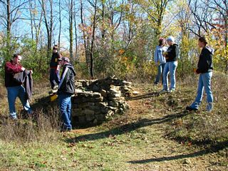
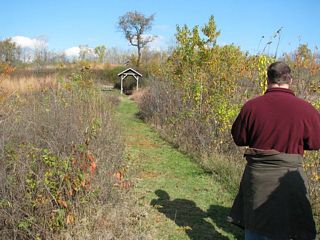
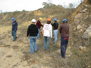
The hill south of Shake Rag street preserves relics of the mining days. |
 |
|
 |
|
 |
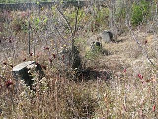
The north side of the hill is dotted with over a hundred small exploration pits. |
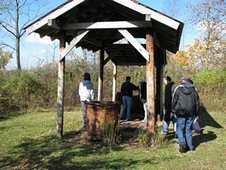 |
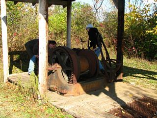
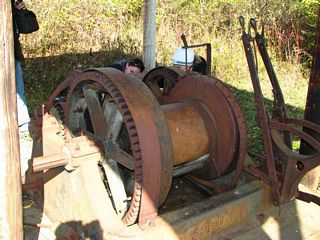
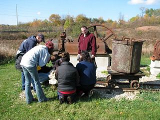
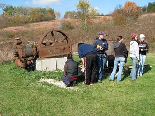
Old hoist machinery. |
 |
 |
 |
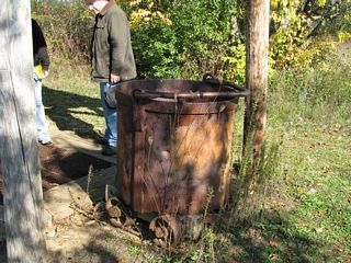
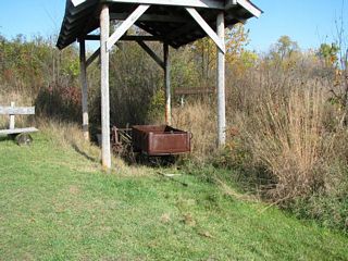
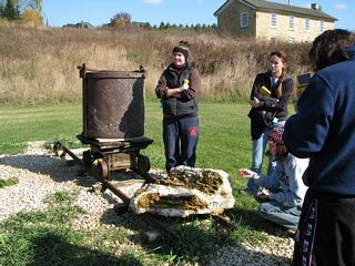
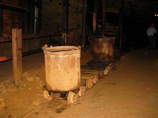
Below: an old lift bucket used for hoisting men and ore. |
 |
 |
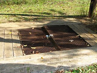 |
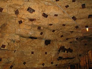
Capped off top of a shaft. |
 |
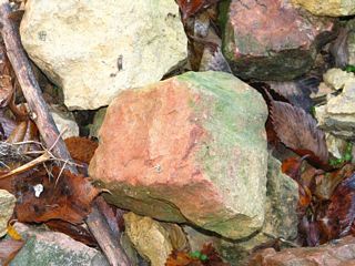
Old smelting furnace. At below right the rocks have the characteristic brick red color acquired by exposure to fire. |
 |
 |
 |
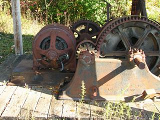
Machinery at an abandoned shaft. |
 |
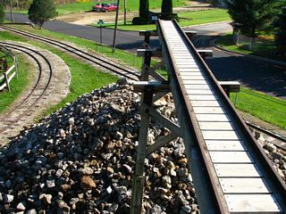
Left and below: a horizontal tunnel (adit) led from the bottom of the shaft above out onto the hillside. Waste rock was taken out by rail and dumped, building a man-made ridge. |
 |
 |
 |
Left: foundations of the mill where the ore was crushed. |
 |
Office building of one of the mines. |
 |
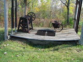
Left and below: old machinery. |
 |
 |
 |
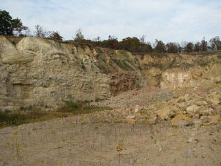
View of the spoils dump from below |
 |
|
 |
|
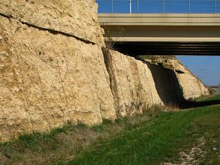
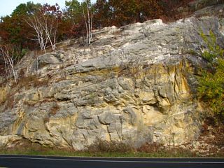
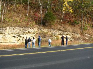
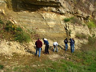
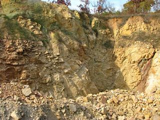
Sinipee-St. Peter Contact
 |
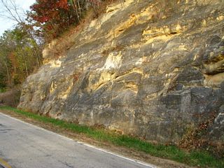
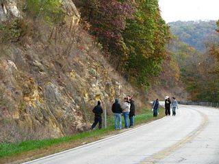
At Mile 134 on Highway 151 is a nice exposure of the Sinipee Group overlying the Saint Peter Sandstone. |
 |
|
 |
 |
 |
|
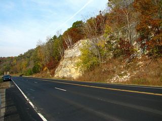
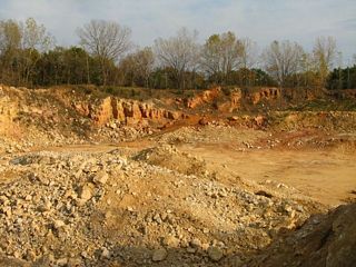
Sliding Blocks
 |
At Mile 120 on Highway 151 are these blocks that have moved outward. The drill holes are offset. The blocks may have been dislodged during blasting or moved by creep. |
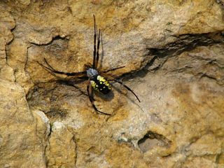 |
This colorful spider generated almost as much interest as the geology. |
 |
|
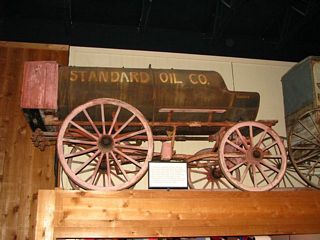
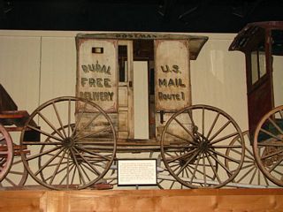
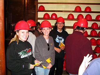
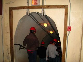
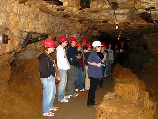
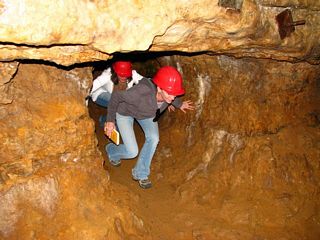
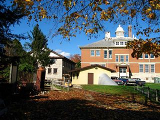
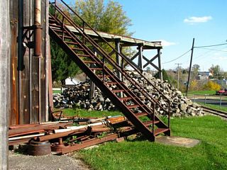
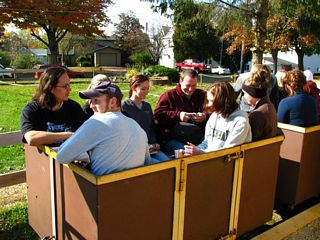
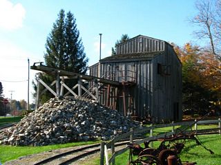
Rollo Jamison Museum, Platteville
 |
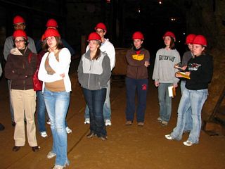
The Rollo Jamison Museum in Platteville has displays of mining and other memorabilia and features tours of an abandoned mine. |
 |
 |
 |
|
 |
|
 |
|
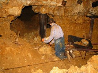 |
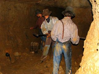
Somebody really ought to tell this guy the mine has shut down. |
 |
|
 |
|
 |
|
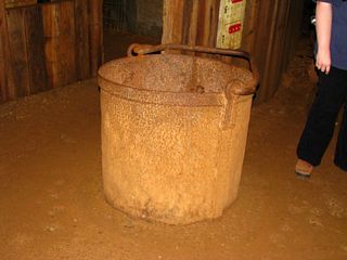 |
This bucket was used for hoisting men, ore, and supplies. |
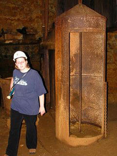 |
This bucket was safer but like being inside a clanging bell. Miners preferred the bucket. |
 |
|
 |
|
 |
|
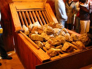 |
Ore was dumped here and crushed by sledgehammer. |
 |
|
 |
|
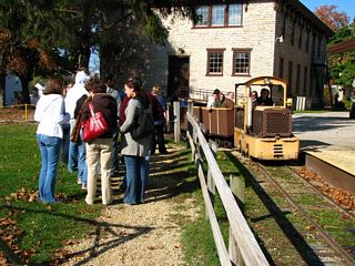 |
A choo-choo! |
 |
|
 |
|
 |
|
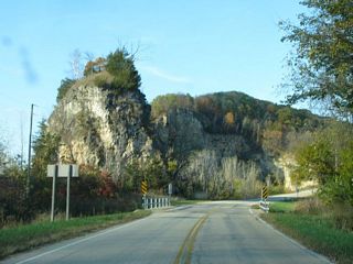
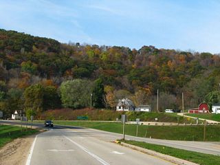
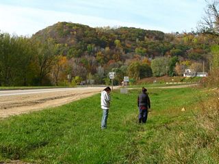
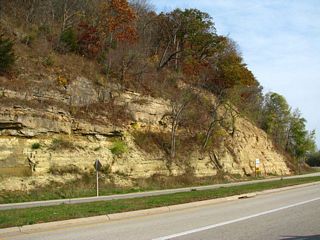
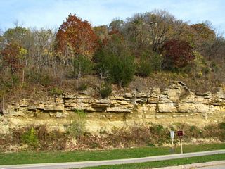
Bagley
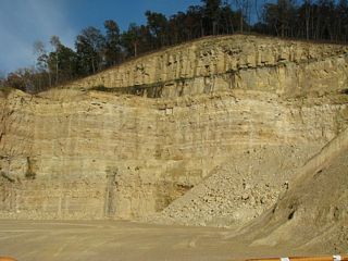 |
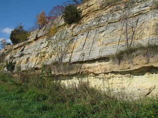
This quarry is said to display the greatest thickness of the Prairie du Chien Formation of any locality in Wisconsin. The prominent band above the ledge and extending about halfway from the ledge to the hilltop is the New Richmond Sandstone - all the rest is dolomite. |
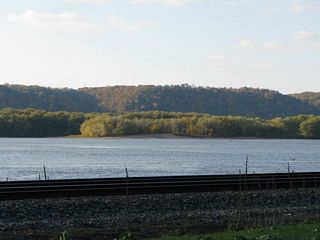 |
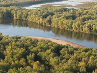
The Mississippi |
 |
Bluffs north of Bagley. |
Wyalusing State Park
Sunday, October 19
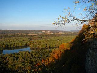
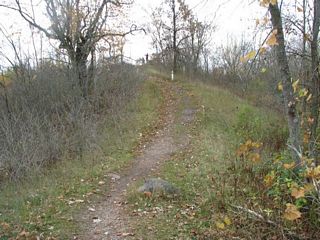
Wyalusing State Park: Sentinel Ridge
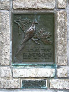 |
The last passenger pigeon in Wisconsin was shot at Babcock, in the center of the state, in September, 1899. So it makes perfect sense to put a memorial here at Wyalusing, over 100 miles to the south. |
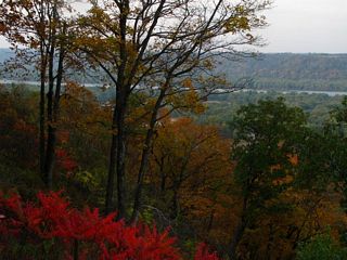 |
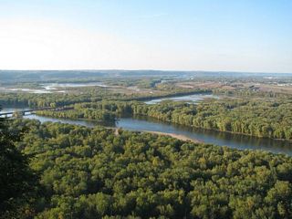
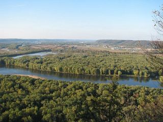
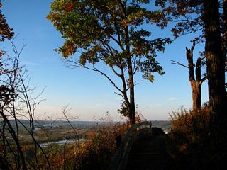
Sentinel Ridge faces west along the Mississippi. |
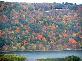 |
Fall foliage in Iowa |
 |
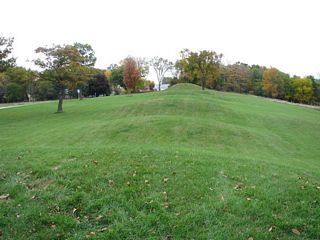
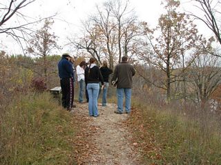
There are a number of Indian mounds along Sentinel Ridge. |
 |
|
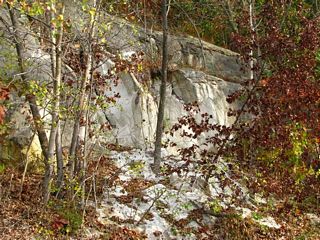
St. Peter Sandstone
 |
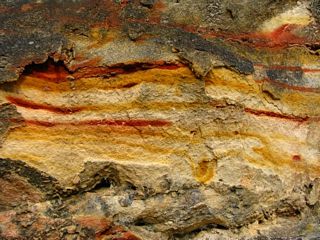
On County C northeast of Wyalusing State Park are outcrops of the St. Peter Sandstone. Below, vivid banding of iron oxide in one horizon. |
 |
 |
Unconformity on Highway 27
 |
On Highway 27 just northeast of Prairie du Chien is the Sinipee-St. Peter unconformity. |
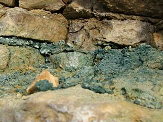 |
Glauconite |
 |
Looking downvalley toward the Mississippi. The near exposure is sandstone; the distant, lower one is dolostone. |
 |
|
 |
Looking downvalley toward the Mississippi. |
 |
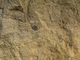
Ultra-mature St. Peter Sandstone. |
 |
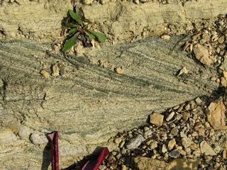
Dolostone with rip-up clasts. |
 |
|
 |
|
Boscobel
 |
 |
 |
Just across the Wisconsin River from Boscobel, a marvelous road cut exposes Cambrian formations. |
 |
 |
 |
Glauconite and cross bedding. |
 |
Glauconite and rip-up clasts. |
 |
Bluffs along the Wisconsin River. |
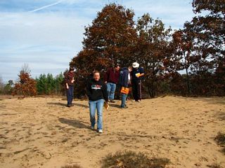
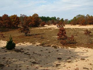
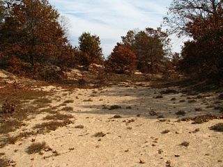
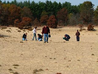
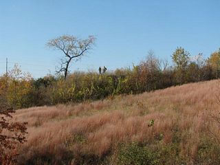
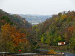
Blue River Pine Barrens
The Long Drive
 |
From the Pine Barrens we faced a drive of over two hours to our next stop. Below: approaching the South Range of the Baraboo Syncline. |
 |
 |
 |
To a geologist, there's only one word for driving through the Baraboo Range without stopping: pain. But we had to in order to get to our last stop. |
 |
|
 |
New quarry in the north Range near the Lower Narrows of the Wisconsin River. |
 |
The Lower Narrows of the Baraboo River. |
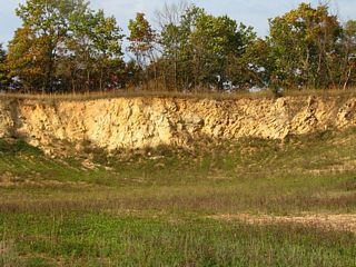
Glover's Bluff
 |
Glover's Bluff from the south. |
 |
|
 |
|
 |
Curving fault surface. |
 |
Impact breccia |
 |
Layers on the left are horizontal but in the recess they stand nearly vertically. |
 |
Newly opened pit on the east side of the quarry. |
 |
The north wall of the quarry. Shatter cones were first found in this area but this section has not been worked for a while. |
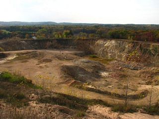 |
Looking down from the upper level. |
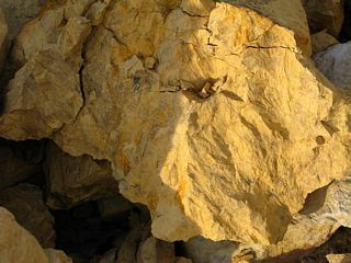 |
Shatter Cones! Finding shatter cones here is iffy. They are sporadic, probably because they occur in slump blocks. The quarry was operated for years without any being discovered, and I've been here at times without finding any. But today we hit the jackpot. Late afternoon lighting helps. |
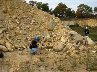 |
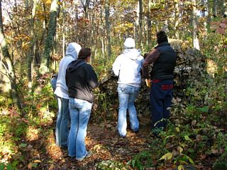
Hunting shatter cones. |
Return to Professor Dutch's Home Page
Created 20 October 2008 , Last Update 15 January 2020