Deep Springs Valley, California
Steven Dutch, Professor Emeritus, Natural and Applied Sciences, University of Wisconsin - Green Bay
Between the Sierra Nevada in California and the Wasatch Range in Utah, the terrain consists of rugged mountains alternating with deep valleys. This region, called the Basin and Range province, covers almost all of Nevada, about half of Utah, and parts of adjacent states. The topography of the Basin and Range Province is due to extension and faulting of the crust. In some cases the crust is broken by parallel faults and the strip of land between drops downward to form a valley, called a graben (German for trench). In other cases a block of crust may tilt because of faulting, creating a valley called a half-graben. Mountain ranges with faults on either side are called horsts, from a German word for "eagle's nest."
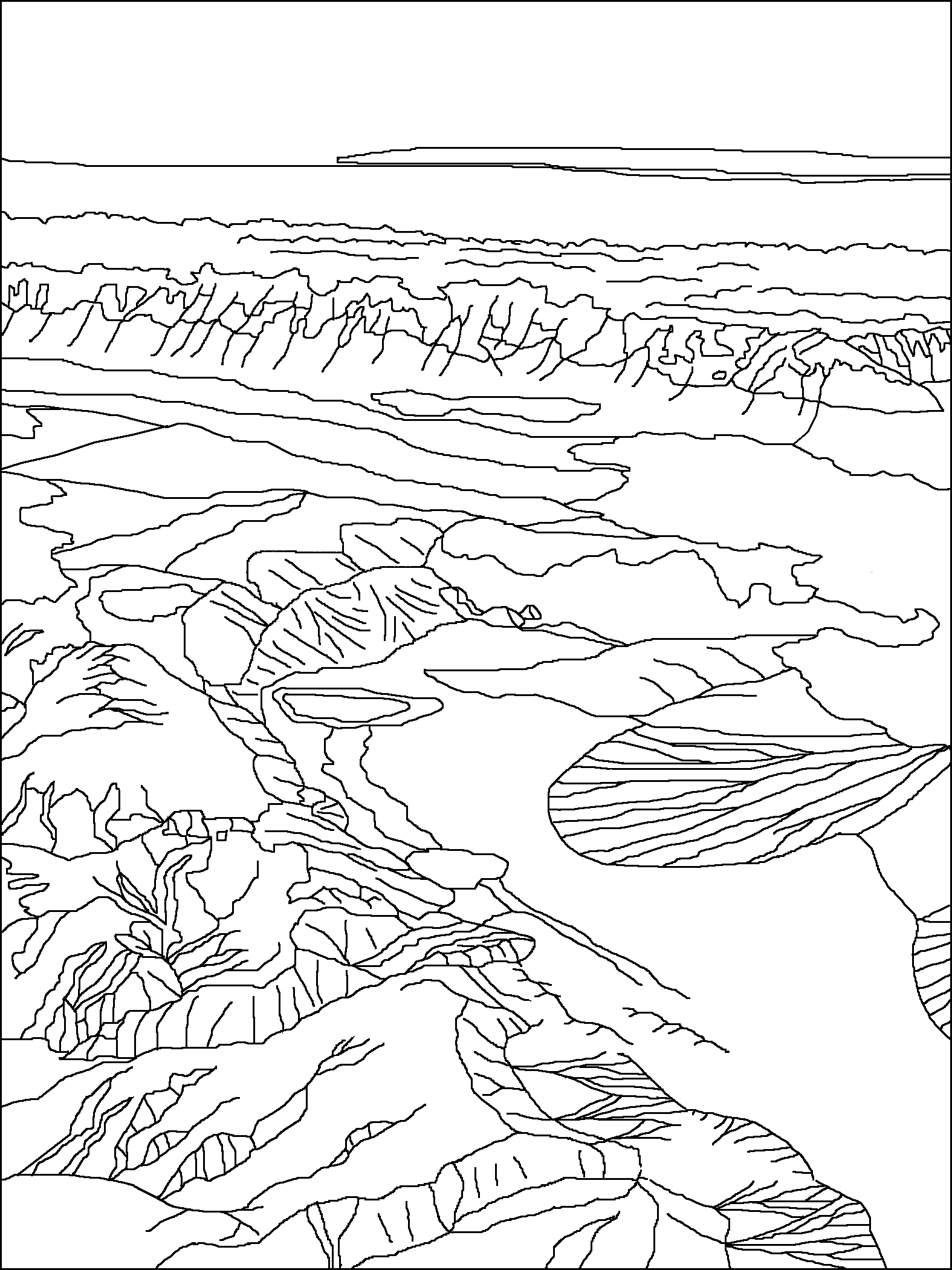
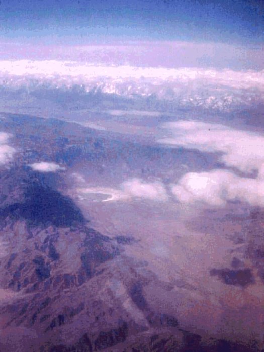
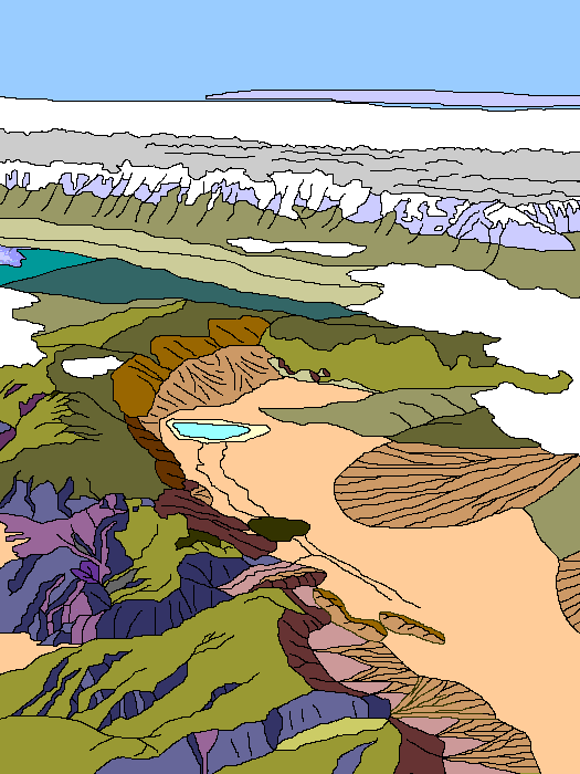
Deep Springs Valley, California, close to the Nevada state line, illustrates these fault landforms well. The view here, from an airplane, looks south and southwest. In the distance are the Sierra Nevada and their dramatic eastern face, created by a great fault. The deep valley in front of the Sierra Nevada is the Owens Valley, a wonderful example of a graben. The mountains in front of the Owens Valley are the White Mountains. A fault slicing across the White Mountains has allowed the block to the west (right) to tilt downward, creating a half-graben known as Deep Springs Valley. The lowest point in the valley is occupied by a playa lake. The straight eastern (left) side of the valley is the Deep Springs Fault, which curves to the right beyond the end of the valley. Erosion is filling the valley with sediment and a number of broad cones of sand and gravel, called alluvial fans, mark places where streams dump their sediment load in the valley. When winter snows melt or after heavy rains, some water reaches the playa lake, but most of the water that enters the valley soaks into the ground.
The view here shows the visual appearance of the valley. The playa lake, Deep Springs Lake, is located at 37o 16' 35" N 118o 02' 25"W. The view point is at about 37o 22' N 117o 59' W, at an elevation of about 25,000 feet, looking nearly due south.
Deep Springs Valley, California: Block Diagram
Deep Springs Valley, California: Cross-Section
Original Scene
 (author's image)
Possible Coloring
Return to Geology Coloring Book Index
Return to Professor Dutch's Home Page
Created 05 February 2008, Last Update 15 January 2020