Devil's Gap, Wyoming
Steven Dutch, Professor Emeritus, Natural and Applied Sciences, University of Wisconsin - Green Bay
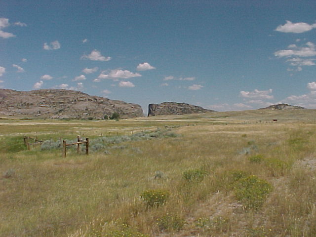
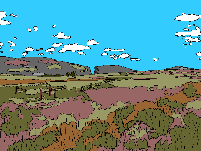
Devils Gap, northwest of Casper, Wyoming, is a remarkable gorge along the Oregon Trail. The Sweetwater River flows through a narrow slot, yet could have avoided the ridge completely if it had flowed a mere quarter mile to the south.
The solution to this riddle is clear if you drive from Casper to Devils Gap. The Gap itself is not visible from more than a couple of miles away. It only becomes visible when the road drops into the valley of the Sweetwater River. The ridge was once buried by soft rocks. As the river cut its valley, it cut down into the hard rock of the ridge. It's very much like cutting a board and sawing into a nail, even though if you'd cut a fraction of an inch to one side or the other, you'd have missed it completely.
The distant hill on the far right is Independence Rock. It got its name because wagon trains headed for California or Oregon tried to reach it by July 4 to be sure of getting to the Pacific before the winter snows. Pioneers stopping there carved their names in the rock, where they are still visible. You can drive across Wyoming on Interstate 80 in less than a day - wagon trains pulled by horses or oxen took a whole month.
Location: 42o 26' 53" N, 107o 12' 38" W.
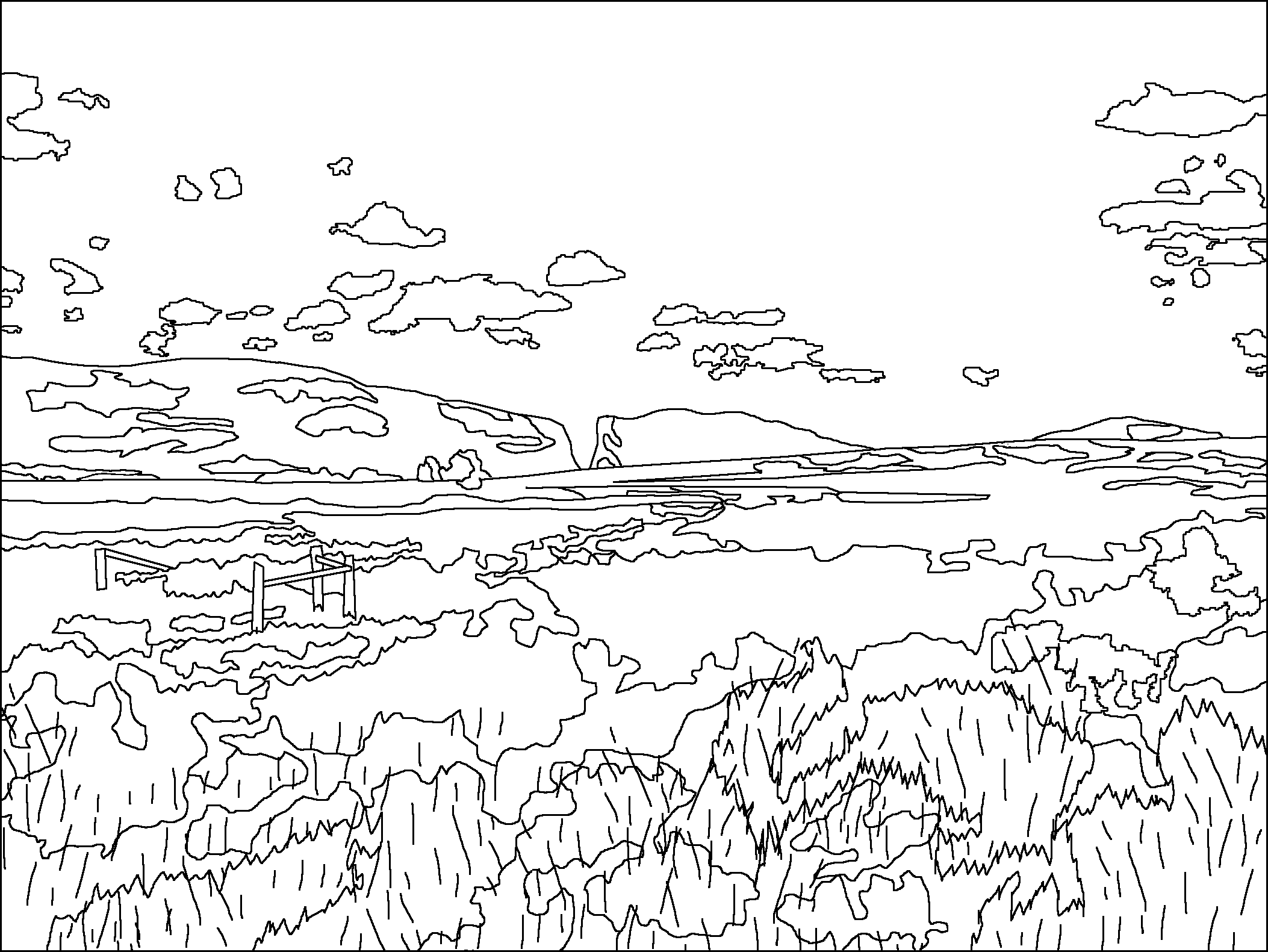
Original Scene
Possible Coloring
Return to Geology Coloring Book Index
Return to Professor Dutch's Home Page
Created 25 November 2005, Last Update 15 January 2020