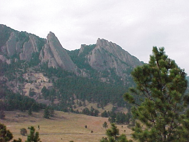
Flatirons, Boulder, Colorado
Steven Dutch, Professor Emeritus, Natural and Applied Sciences, University of Wisconsin - Green Bay
Location: Northern (right) peak is 39o 59' 25" N, 105o 17' 41" W. Soutthern (left) peak is 39o 59' 14" N, 105o 17' 36" W. View is from approximately 39o 59' 04" N, 105o 16' 39" W.
The Flatirons, so called because the look something like a clothes iron standing on end, are the identifying landmarks for Boulder, Colorado. They formed much the same was as Garden of the Gods, when the Front Range of the Rockies rose upward along a great fault and the sedimentary rocks near the surface were bent upward. Since the rocks are resistant, erosion has stripped away overlying layers to expose a bedding plane. A slope formed by the surface of a tilted rock layer is called a dip slope.
Flatirons occur in many mountain ranges. Any time steeply dipping resistant layers form the slope of a mountainside, flatirons can occur.
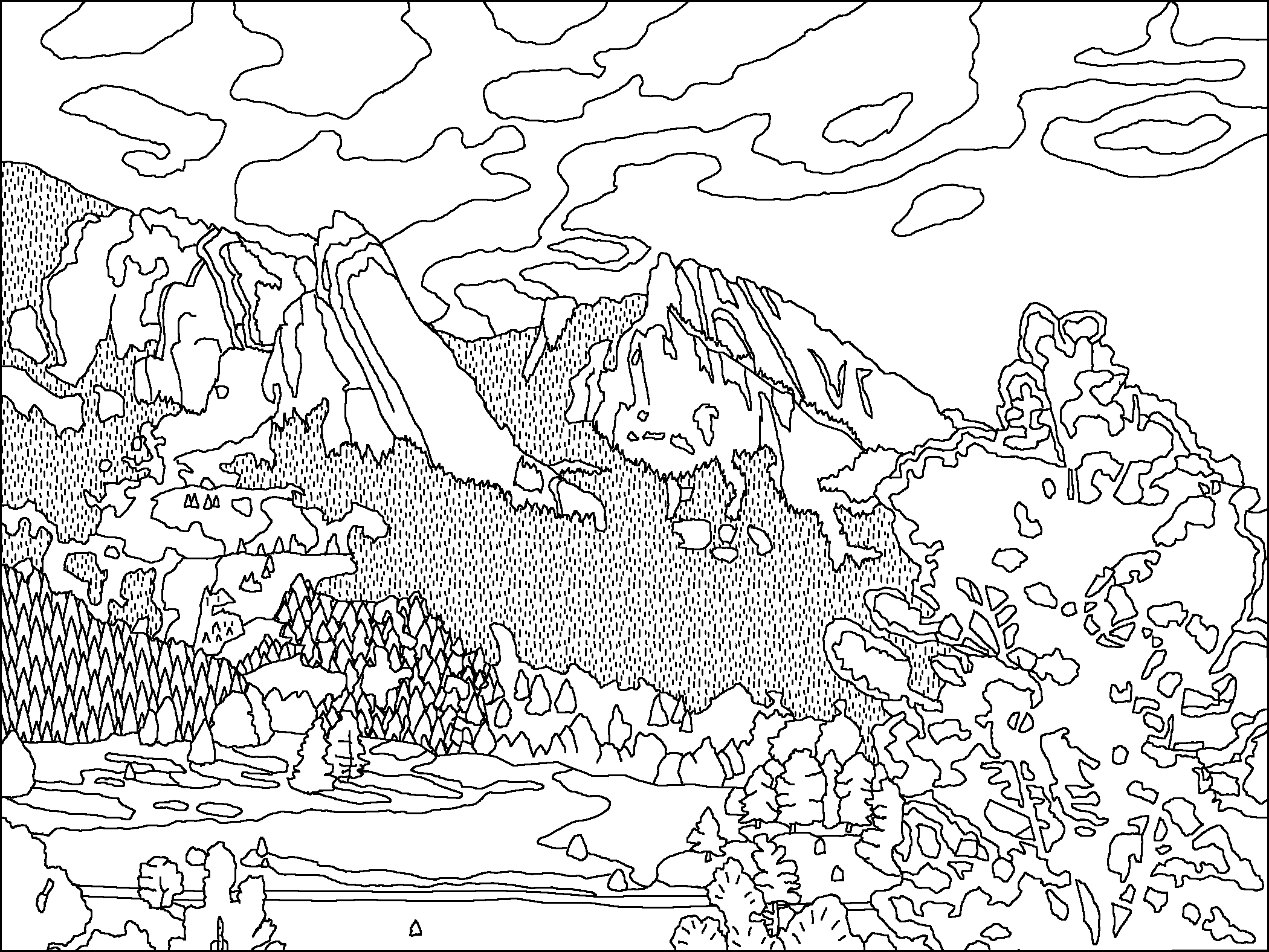
Original Scene
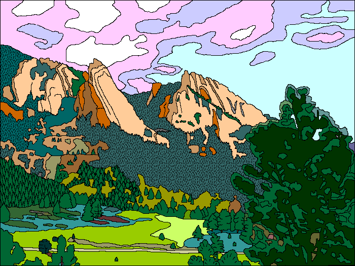
Possible Coloring
Return to Geology Coloring Book Index
Return to Professor Dutch's Home Page
Created 14 July 2009, Last Update 15 January 2020