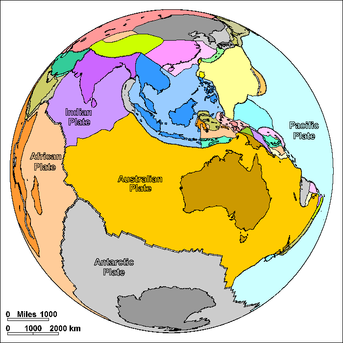
Indian-Australian Plate
Steven Dutch, Professor Emeritus, Natural and Applied Sciences, University of Wisconsin - Green Bay
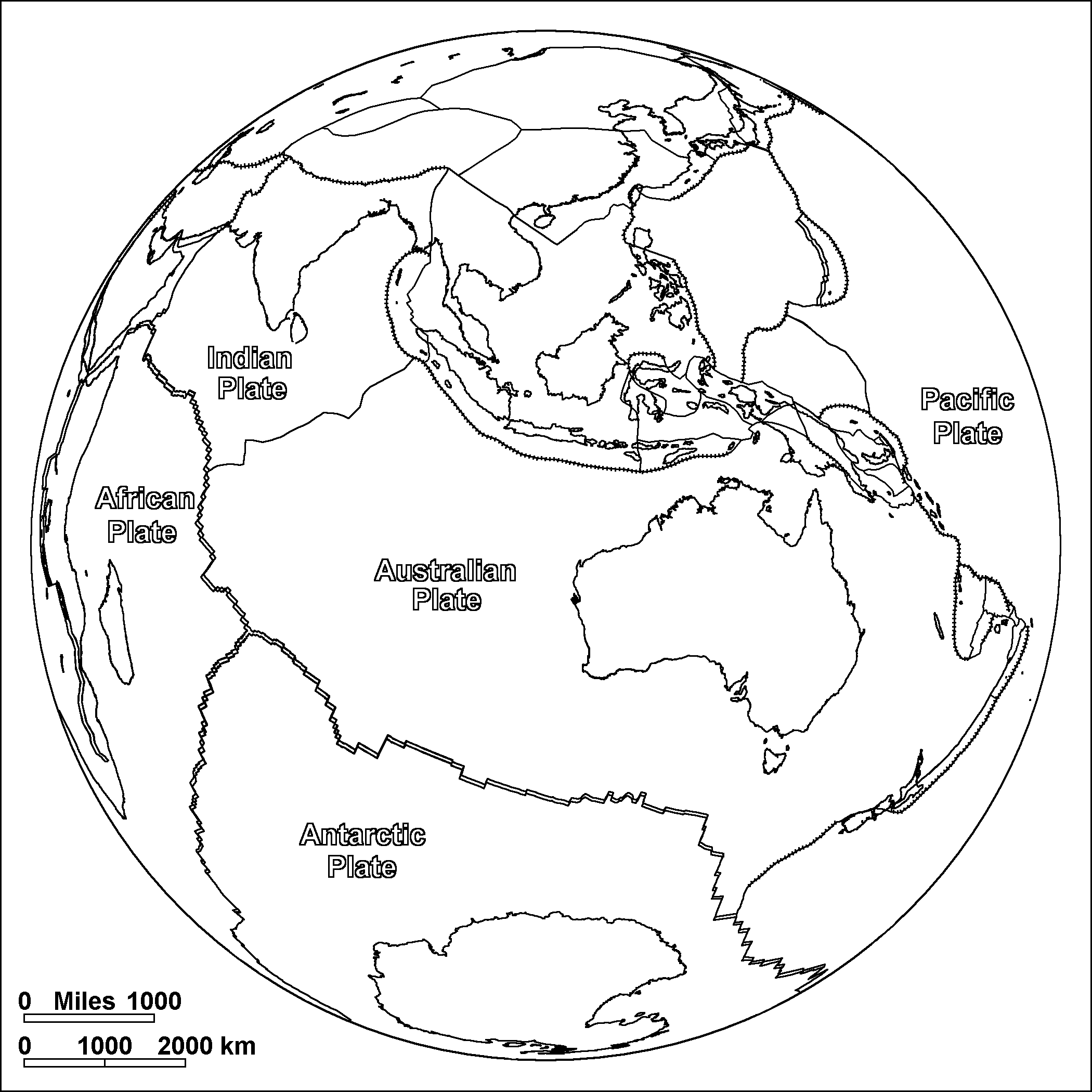
On these diagrams, pairs of parallel lines show boundaries where plates are spreading apart, lines with ticks show boundaries where plates are colliding, and simple lines show other types of boundary. These include places where plates are simply sliding past one another, places where motions are too complex to portray simply, and places where new plate boundaries may be forming.
Many maps show the Indian and Australian Plates as a single plate, but a band of earthquakes across the plate suggests that it is beginning to break into two plates. The reason is that India is colliding with Eurasia while Australia is still moving northwards. The collision of India and Eurasia has raised the Himalaya and Tibetan Plateau, and also fractured the crust of eastern Asia into myriad small sub-plates.
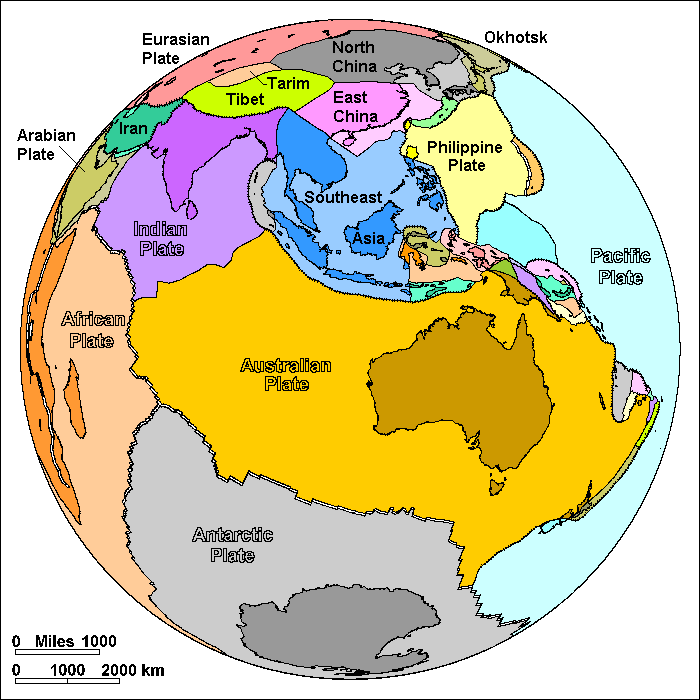
As Australia moves north and collides with the island chains of Indonesia, a fantastically complex maze of small plates results. Such small plates that are added to the advancing edge of a larger plate are called terranes (note the spelling). Accumulation of terranes is a major process in the growth of continents. Most of western North America, almost all of Alaska, and almost all of China are masses of terranes welded together in ancient collisions. The traffic jam of terrane collisions north of Australia appears to be causing a corner of the Pacific Plate to break along a new plate boundary.
Possible Coloring
Labeled Features
In addition to the large plates, significant small plates are labeled. Very small plates are not labeled.
Return to Geology Coloring Book Index
Return to Professor Dutch's Home Page
Created 25 July 2009, Last Update 15 January 2020