Sarychev Volcano, Russia
Steven Dutch, Professor Emeritus, Natural and Applied Sciences, University of Wisconsin - Green Bay
Location: 48o 05' 21" N, 153o 12' 09" E.
Astronauts aboard the International Space Station captured this remarkable view of Sarychev Volcano in the Kuril Islands of Russia on June 12, 2009. The volcano had just begun erupting, and the blast and rising plume have punched a neat circular hole in the clouds. As the plume rises, it pushes air upward and the rising air expands and cools. Water vapor in the air condenses to make a smooth cap. Here and there the plume has pushed through the cap. The apparent paradox of smooth clouds and turbulent eruption plumes has been seen at other eruptions as well. For example, some are visible in photographs of the eruption of Mount Saint Helens on May 18, 1980.
North is toward upper right in this view. A pyroclastic flow extends down the flank of the volcano toward lower right. Other dark, dense ash clouds hug the surface to the left and upper right of the vent. On the NASA image, the caption "Ostrov Matua" means "Matua Island" in Russian.
Occasionally in June and July 2009, sunsets over North America were unusually colorful because high altitude sulfuric acid droplets from Sarychev scattered sunlight. Typically, volcanic sunsets display a long lasting vivid pink color near the horizon with a sharp transition to dark blue above.
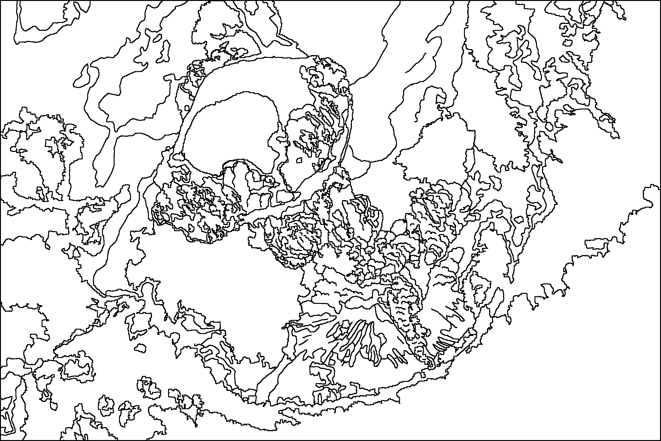
Original Scene
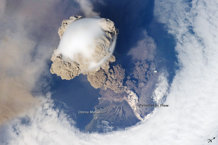 (NASA image)
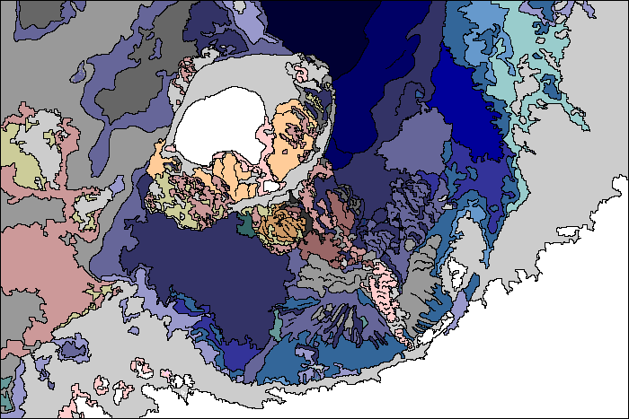
Possible Coloring
Return to Geology Coloring Book Index
Return to Professor Dutch's Home Page
Created 14 July 2009, Last Update 15 January 2020