Mosinee Hill
Steven Dutch, Professor Emeritus, Natural and Applied Sciences, University of Wisconsin - Green Bay
 |
 |
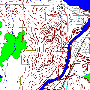 |
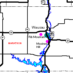
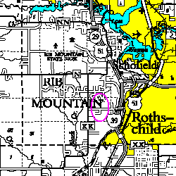
Secs. 24-27, T28N R7E, 5 miles south of Wausau and 1 mile west of Rothschild. The summit is just about at the intersection of all four sections. |
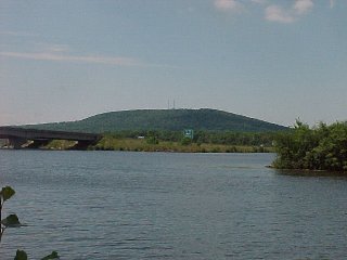 |
Mosinee Hill from a city park in Rothschild, looking
southwest. The Highway 29 bridge is at left.
Most everyone in Wisconsin, I'm sure, pronounces the name of the town "Roth's child." It's was probably actually originally German "Roth Schild" - "Red Shield." |
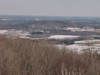 |
Mosinee Hill, looking SE from Rib Mountain |
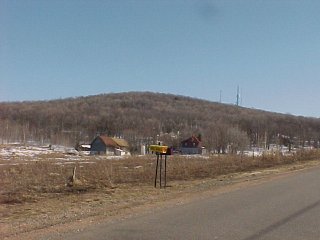 |
View looking south from Clover Road |
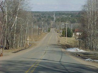 |
View from the top looking east on Fox Glove Road. The apparent continuation of the road in the distance is Military Road on the opposite side of the Wisconsin River. |
Mosinee Hill Quartzite
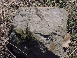 |
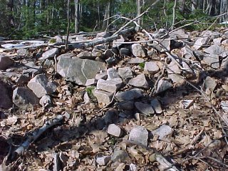
Easily accessible outcrop is almost nonexistent on Mosinee Hill but light pink quartzite float is abundant. |
 |
Large amounts of quartzite are found near the radio tower on the summit. |
Return to Geology of Wisconsin Index
return to geologic localities index
Return to Professor Dutch's Home Page
Created 5 June 2001, Last Update 10 Jan 2020