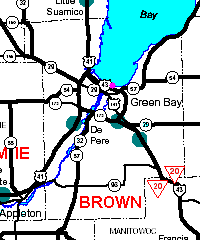
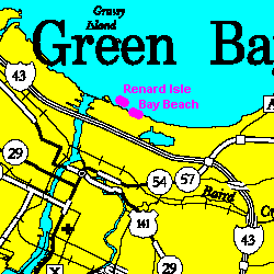
Renard Isle and Bay Beach
Steven Dutch, Professor Emeritus, Natural and Applied Sciences, University of Wisconsin - Green Bay
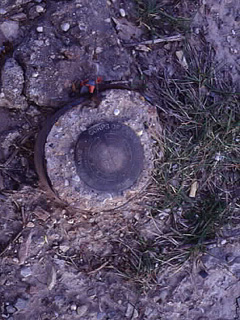 |
This bench mark lies about 20 meters west of the end of the sidewalk along the shoreline at Bay Beach. Bench marks are the precisely-surveyed points that are the basis of all detailed maps. |
Bay Beach Dike and Shoreline
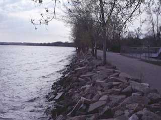 |
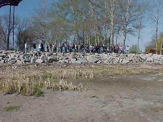
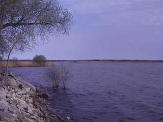
In 1973 the shore areas of Green Bay were badly flooded. To guard against future flooding, this dike was built along the shore. The large blocks of stone and concrete rubble, termed riprap, serve to protect the dike from wave erosion. This photo was taken at a high stand in April, 1998. |
 |
By May, 1999, water levels had begun one of their periodic drops |
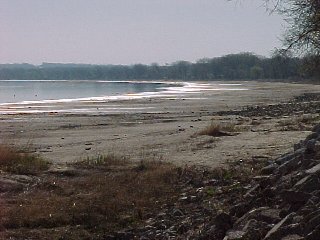 |
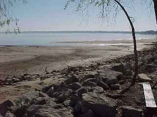
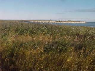
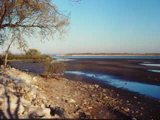
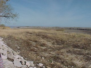
By April, 2000, the drop was dramatic. The shoreline had retreated over 100 meters |
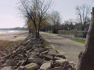 |
The dike, April, 2000. |
 |
View of the dike from "offshore," April, 2000 |
 |
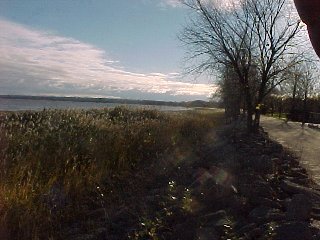
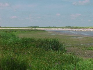
By October, 2001 the drop was so prolonged that thick reeds had grown up along the shore. |
 |
The dike, October, 2001. |
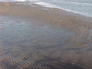 |
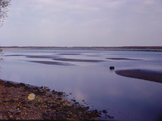
Low stands of the bay are excellent times to see ripple marks. |
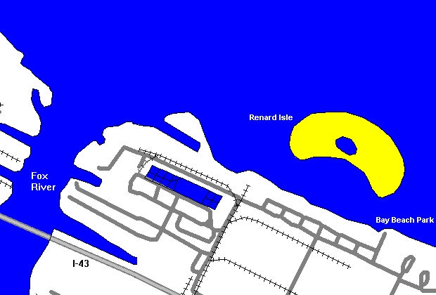
Renard Isle
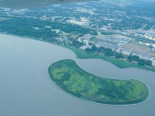
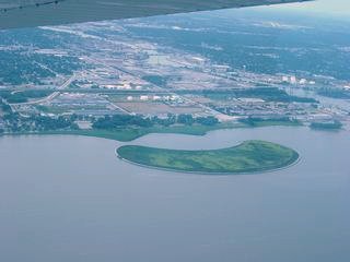
Renard Island was constructed to hold dredge spoils from the shipping channel. The spoils are contaminated with PCB's and cannot simply be dumped in the bay. Renard Isle is full, and plans to expand it are generating opposition. The main concerns are whether the contaminated spoils can be securely contained, and whether an expanded island would disrupt currents in the bay and worsen the already severe eutrophication in the lower bay (that is, by the way, how Green Bay got its name).
 |
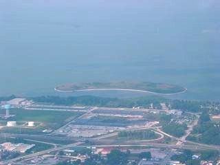
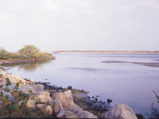
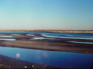
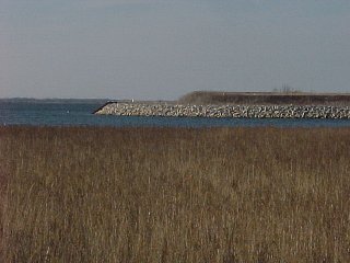
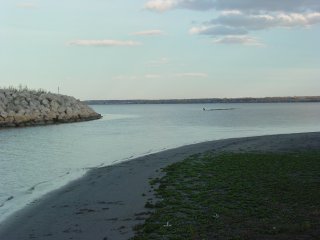
Renard Isle, formerly called Kidney Island, is a confined disposal facility (CDF) in the lower Green Bay, visible offshore to the right in this picture. The CDF is a depository for polluted dredged materials from the Green Bay harbor entrance channel. The island is 800 feet offshore from Bay Beach. The island protects the channel behind it from wave erosion, causing sediment to be deposited there. The reed-covered point has been deposited since the island was constructed, and if allowed to continue forming, will eventually join the island to the mainland. This picture was taken in April 1998. |
 |
By October 17, 1998, water levels had fallen noticeably. |
 |
Left: View on October 17, 1998
Below: Views on October 24, 1998. The drop in only a week is dramatic.
|
 |
 |
 |
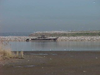
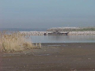
This view and the view below show the growth of sediment toward the island. |
 |
|
 |
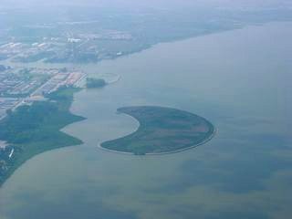
This view from the west shows that the channel between the mainland and the island is wider than it looks. Probably the constriction of flow causes the current in the channel to speed up, keeping the channel scoured open.
|
 |
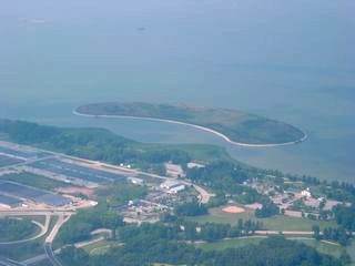
West end of Renard Isle. Below are two views of the nesting bird colonies on the island. The presence of large numbers of birds just offshore from a city amusement park is a mixed blessing. |
 |
 |
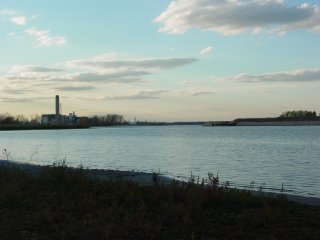 |
West end of the channel between Renard Isle and the mainland. Renard Isle is on the right. The smokestack at left is the Pulliam Power Plant on the west bank of the Fox River. This and the following pictures were taken in October, 2003. |
 |
East end of the channel, which is still quite wide. The pictures below show exposed mud flats east of Renard Isle along Bay Beach |
 |
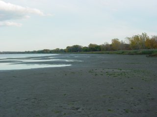 |
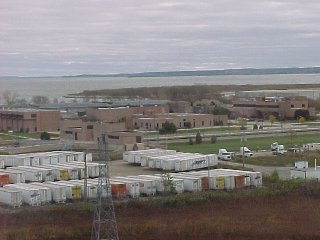
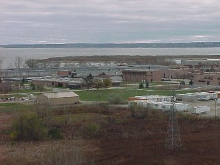
Views from Tower Drive Bridge
Construction and Filling of Renard Isle
 |
November 1982. The island is still low and surrounded by a raised rim. |
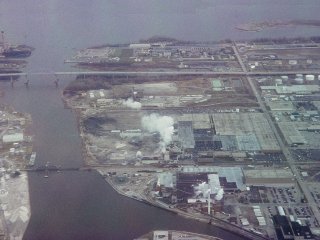 |
April 1995. Mouth of the Fox River with Renard Isle at upper right |
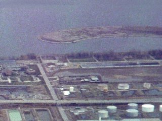 |
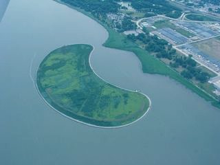
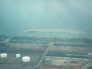
Close-up of Renard Isle. The island is nearly full and vegetation is taking root. Bay levels are still high and the sedimentation in the channel is not visible. |
Aerial Views, August 2002
Return to Geology of Wisconsin Index
Return to Geologic Localities Index
Return to Professor Dutch's Home Page
Created 19 May 1999, Last Update 12 January 2020