Seymour
Steven Dutch, Professor Emeritus, Natural and Applied Sciences, University of Wisconsin - Green Bay

Paleozoic Stratigraphy
Rock Ledge Park
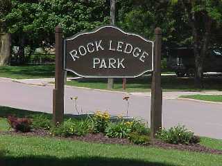 |
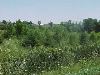
Rock Ledge Park, off High Street, exposes some ledges of Platteville-Galena dolomite, as the name implies. |
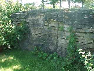 |
The ledges are a bit hard to find, since they're in the far southeast corner of the park and a bit overgrown. The terrain contours in the park suggest it was once a small quarry. The ledges have been buried and landscaped and are no longer visible. |
The Hilltop
 |
In addition to a number of quarries along the north edge of the hill, there are small inactive quarries on the hilltop itself. This one, water-filled due to a rainy summer, is along French Road not far south of Higway 54. |
 |
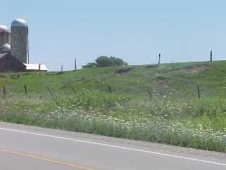
This rumpled terrain along the north edge of the hill is typical of the thin ground moraine that blankets the bedrock. |
West Side of Seymour Hill
 |
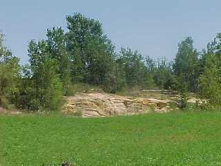
Low dolomite ledges are exposed along the south side of State Highway 54 as it begins to descend the west siide of the hill. |
 |
This small pit about 300 m south of Highway 54 along French Road exposes the Saint Peter Sandstone. The sandstone is very friable and very pure and well-sorted. |
 |
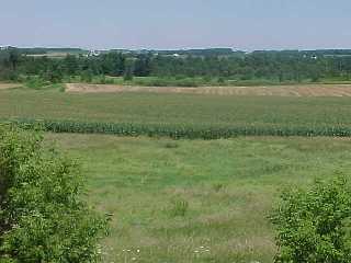
Just south of the pit the mesa-like topography is very evident. Looking east we see the flat top of the hill and its steep western slope. |
 |
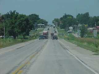
Looking east on Culbertson Road (one mile south of Highway 54) we see the steep face of the hill. |
 |
A view from the top of the incline looking west. Note the dolomite ledges. |
 |
A close-up of the dolomite ledges. |
Buried Topography
 |
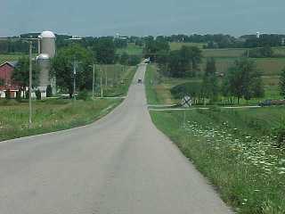
If you ever wanted to be like Evel Knievel but lacked the nerve, this is the place for you. Looking west along Highway 54 at the eastern side of Seymour Hill. The gentle dip in the road is the surface expression of a narrow buried valley over 60 meters (200 feet) deep revealed by well records. |
 |
Looking north along French Road down the northern edge of Seymour Hill. The broad valley of Black Creek is actually a deep buried valley more than half filled in. From the hilltops to the buried bedrock floor of the valley is over 150 meters (about 500 feet). |
 |
A view from along Highway 54 at the west edge of Seymour Hill. |

Return to Geology of Wisconsin Index
Return to Geologic Localities Index
Return to Professor Dutch's Home Page
Created 19 May 1999, Last Update 19 May 1999