Suring Moraine
Steven Dutch, Professor Emeritus, Natural and Applied Sciences, University of Wisconsin - Green Bay
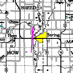 |
A steep rise just west of Suring marks a former ice-margin position. |
 |
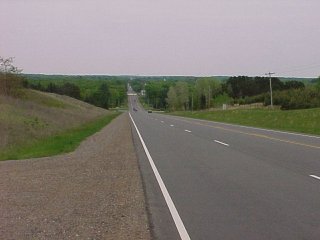
View west from Suring along Highway 32. |
 |
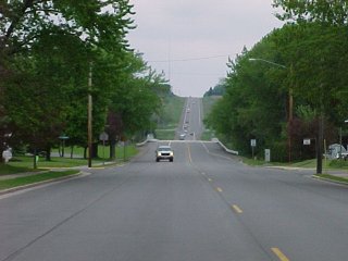
View from the top of the hill looking east across Suring. |
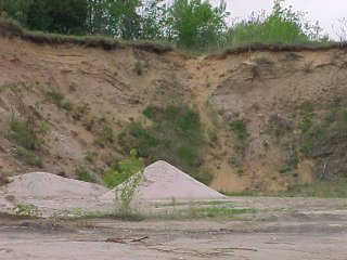 |
Sand pits in the hillside reveal mostly stratified sand; outwash rather than moraine material. |
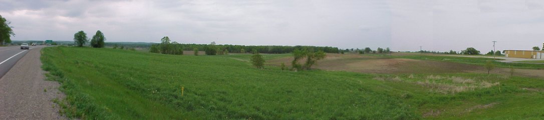
The panorama below spans 90 degrees, from west along highway 32 at the left edge to north at the right. Although the core of this landform is mostly outwash, the top shows typical undulating moraine topography. Note the gentle slope westward.
Return to Geology of Wisconsin Index
Return to Geologic Localities Index
Return to Professor Dutch's Home Page
Created 19 September 2000, Last Update 11 January 2020