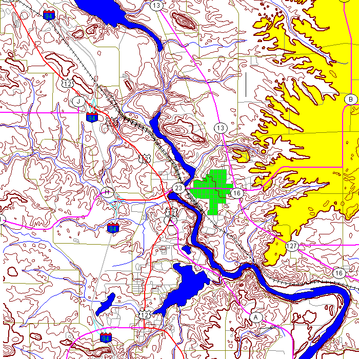
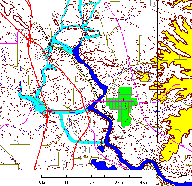
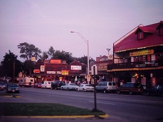
Wisconsin Dells
Steven Dutch, Professor Emeritus, Natural and Applied Sciences, University of Wisconsin - Green Bay
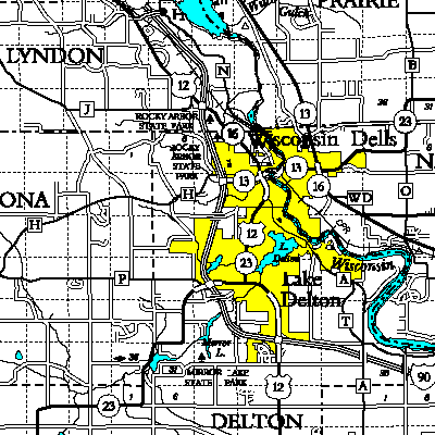 |
Wisconsin Dells, conveniently located at the intersection of four counties for your cartographic enjoyment. In something closely akin to a miracle, all four county maps had the same scale and could be joined. |
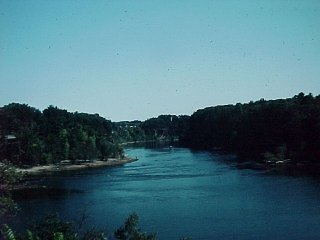 |
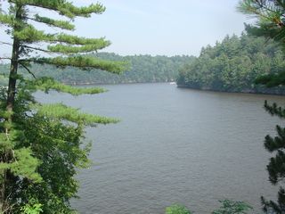
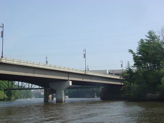
View of the Wisconsin River gorge looking south from the bridge on Highway 13-23. |
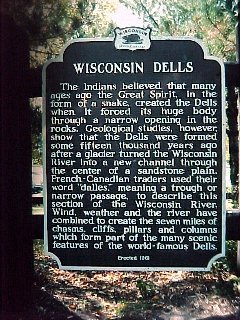 |
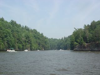
The Indians believed that many ages ago the Great Spirit, in the form of a snake, created the Dells when it forced its huge body through a narrow opening in the rocks. Geological studies, however, show that the Dells were formed some fifteen thousand years ago after a glacier turned the Wisconsin River into a new channel through the center of a sandstone plain. French-Canadian trappers used their word "Dalles," meaning a trough or narrow passage, to describe this portion of the Wisconsin River. Wind, weather and the river have combined to create the seven miles of chasms, cliffs, pillars and columns which form part of the many scenic features of the World-famous Dells. |
 |
Wisconsin Dells - where a family of four can have a weekend of fun for slightly less than the cost of a Stealth Bomber. |
 |
 |
 |
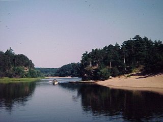
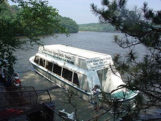
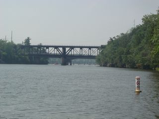
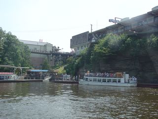
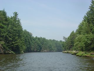
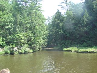
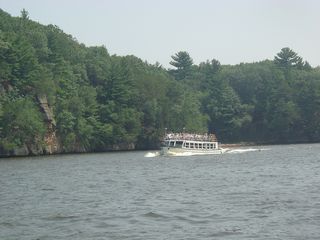
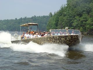
Above: the Wisconsin river at the landing for tour boats to
the Lower Dells
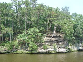
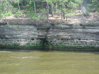
Left: sandstone outcrops just south of the boat landing |
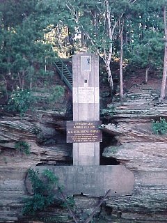 |
A U.S. Geological Survey stream gauge |
 |
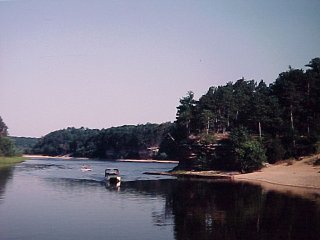
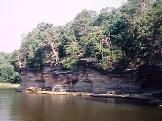
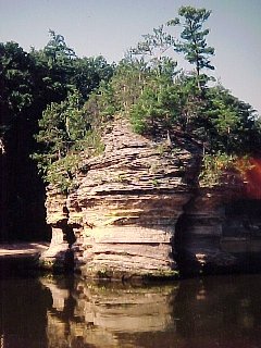
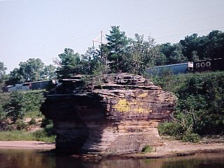
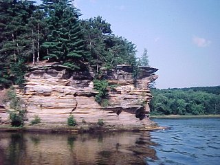
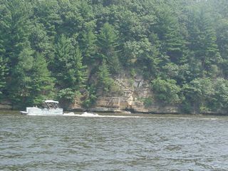
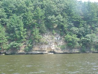
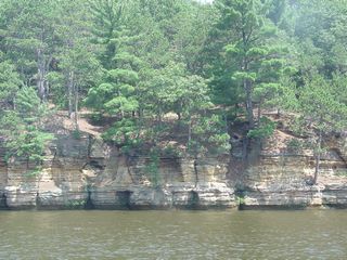
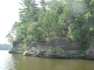
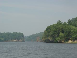
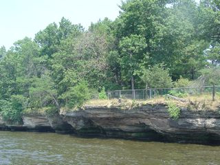
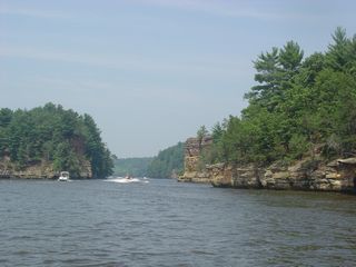
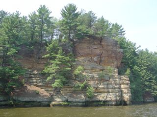
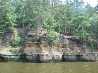
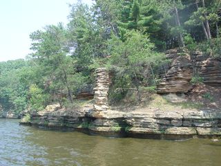
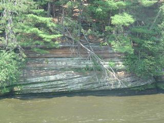
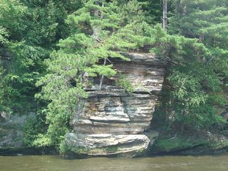
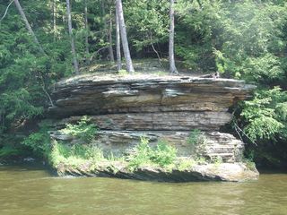
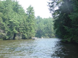
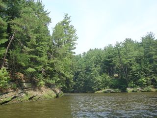
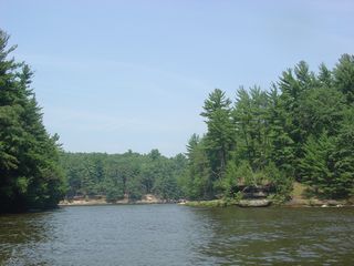
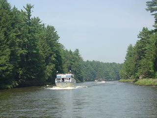
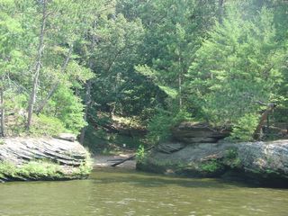
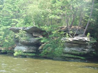
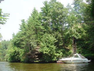
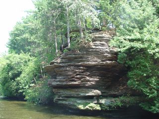
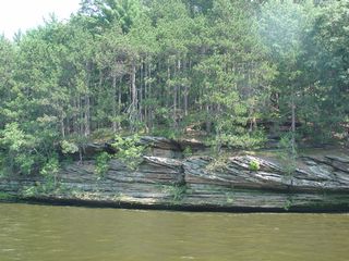
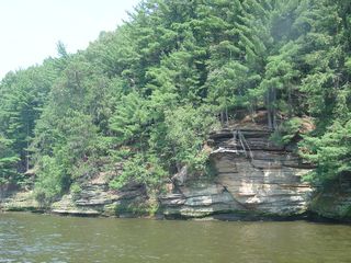
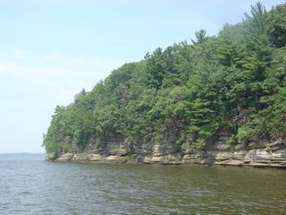
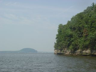
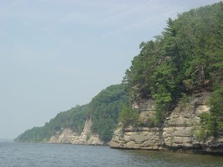
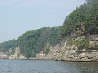
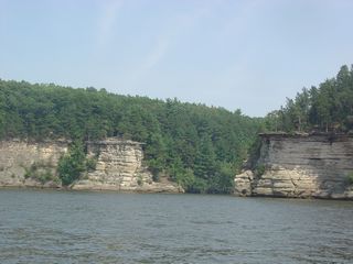
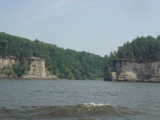
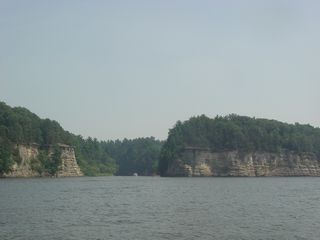
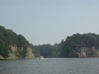
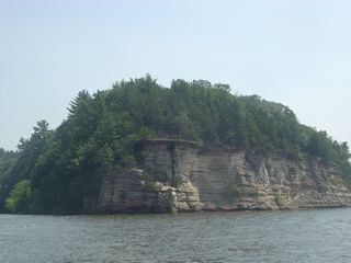
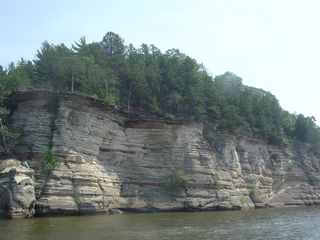
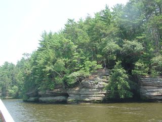
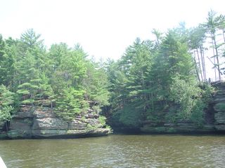
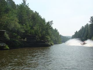
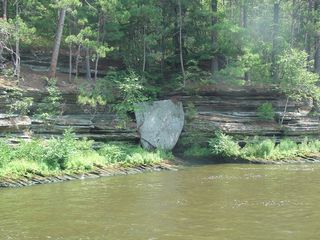
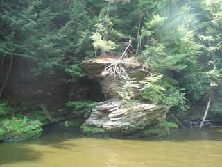
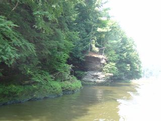
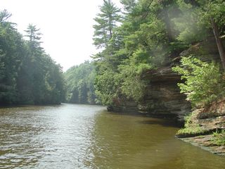
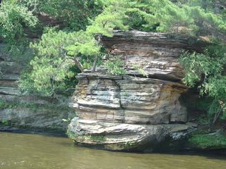
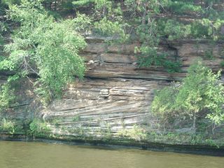
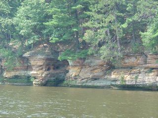
Lower Dells Rock Formations
 |
 |
 |
 |
 |
|
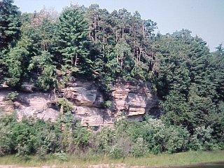 |
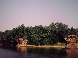
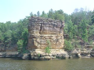
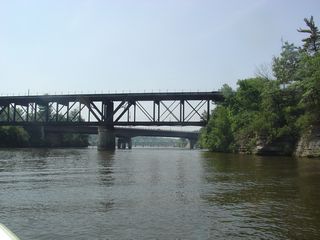
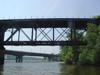
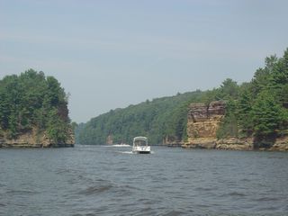
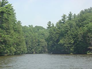
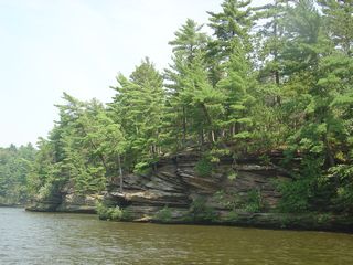
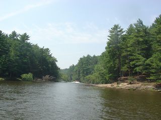
Upper Dells
 | |
 | |
 | |
 | |
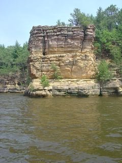
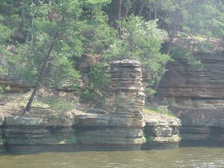 | Chimney Rock. Need I explain why? |
 | |
 | |
 | |
 | |
 | |
 |  |
 |  |
 | |
 | |
 | |
 | |
 | |
 | |
 | |
 | |
 | |
 | |
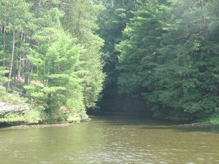
 | The Narrows |
 | |
 | |
 | |
 | |
 | |
 | |
 | |
 | |
 | |
 | |
 | |
 | |
 | |
 | |
 | |
 | |
 | |
 | |
 | |
 | |
 | |
 | |
 | |
 | |
 | |
 | |
 | |
 | |
 | |
 | |
 | |
 | |
 | |
 | |
 | |
 | |
 | |
 | |
 | |
 | |
 | |
 | Southern end of the western channel around Blackhawk Island. The island is to the right. |
 |  |
Return to Geology of Wisconsin Index
Return to Geologic Localities Index
Return to Professor Dutch's Home Page
Created 20 September 2000, Last Update 11 January 2020