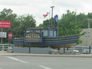
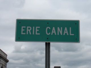
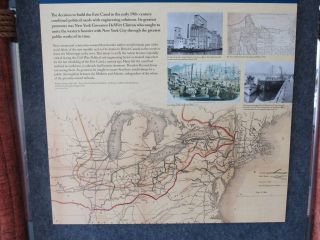
Erie Canal, New York
Steven Dutch, Professor Emeritus, Natural and Applied Sciences,
University of Wisconsin - Green

Somewhat surprisingly, the Erie Canal doesn't rise smoothly
from Albany to Buffalo. It rises steeply to Schenectady, then
less steeply to Utica, has a long level stretch to Syracuse
(then called Salina; curiously, this old diagram didn't show
Syracuse), dips and then rises to Rochester. Then it has another
long level stretch before climbing the Niagara Escarpment at
Lockport and leveling off before Buffalo.

Between Rochester and Buffalo the present New York State Barge
Canal and the old Erie Canal follow the same route (green line
with circles). The Niagara Escarpment is shown as a heavy line
with double ticks. Note the canal is above the
Escarpment at Rochester. The Silurian rocks become thinner and
less topographically pronounced to the east.
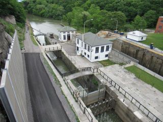
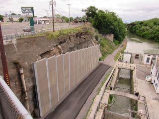
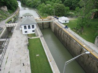
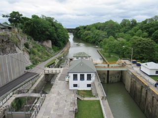
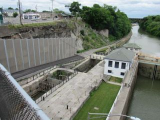
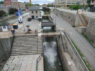
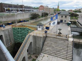
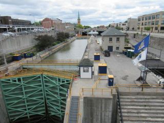
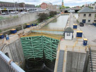
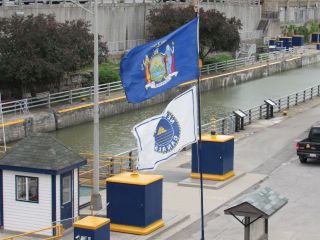
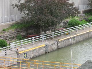
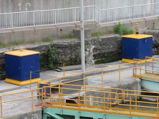
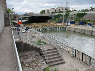
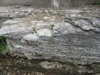
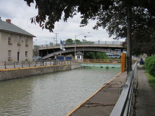
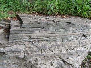
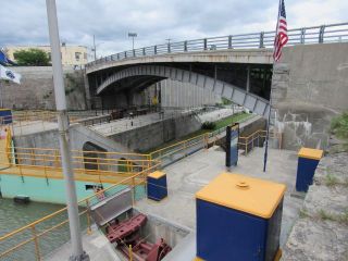
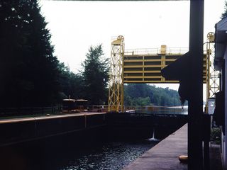
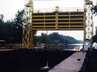
Lockport
If you're building a canal from the lowlands near Lake Ontario to Lake Erie, you have to climb the Niagara Escarpment somehow. Lockport is where they did it. At one time there was a staircase of five locks here.
 |
 |
 |
 |
 |
 |
 |
 |
 |
 |
 |
 |
 |
 |
 |
 |
 |
 |
 |
 |
 |
 |
 |
 |
 |
 |
 |
 |
 |
 |

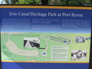
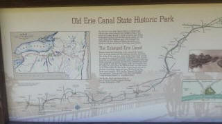
This map shows the central Erie Canal from Port Byron to Utica.
In this area the present New York State Barge Canal (NYSBC)
diverges widely from the original Erie Canal route (magenta). A
parkway and trail follow the old route for much of its length.
The Silurian contact is shown as a dash-dot-dash line but has
little topographic expression. The points along the canal east
of Syracuse are trail access and are not the locations of the
towns themselves, which are often a few miles away.
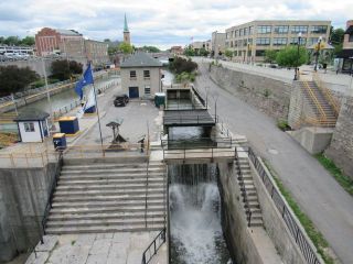
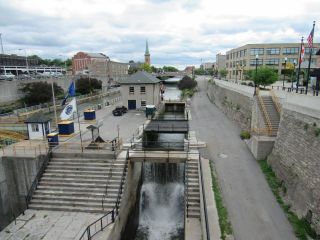
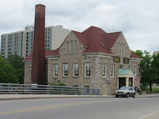
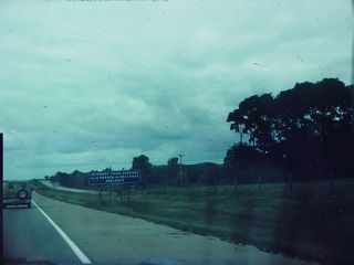
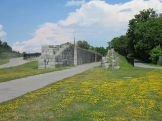
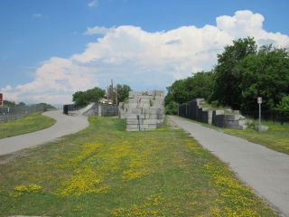
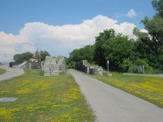
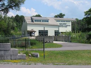
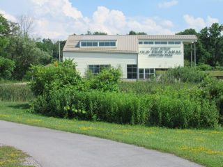
New York Thruway at Port Byron
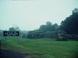
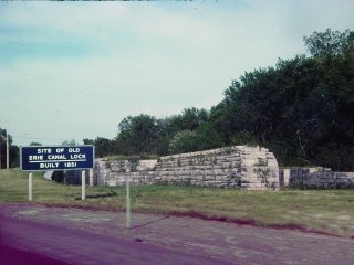
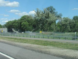
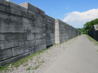
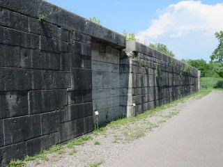
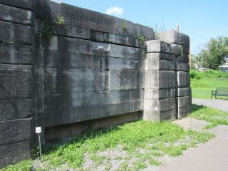
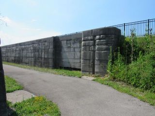
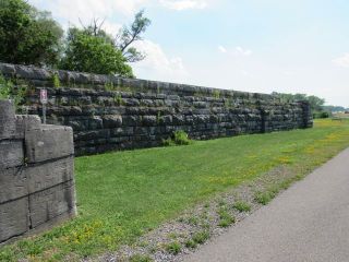
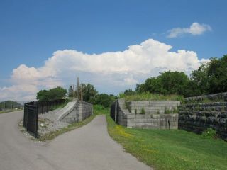
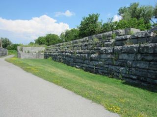
Possibly the most viewed remnant of the old canal are these locks along the thruway at Port Byron, west of Syracuse, recently developed into a park after many years of frustrating inaccessibility.
 |
For many years the only way to see and photograph the
locks was with furtive and illegal stops on the shoulder
of the Thruway. The only way to see the locks was to
memorize their location and watch the mileposts. The locks
were marked but there were no signs signaling their
approach. |
 |
 |
 |
 |
 |
 |
 |
 |
 |
 |
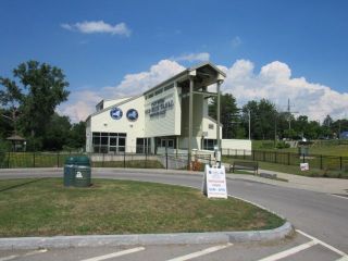 |
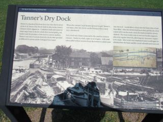
Now a very nice visitor center displays the locks along with paved trails and easy access to and from the Thruway. |
 |
 |
 |
 |
 |
 |
 |
 |
 |
 |
 |
 |
 |
 |
 |
 |
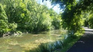
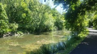
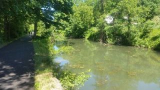
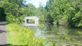
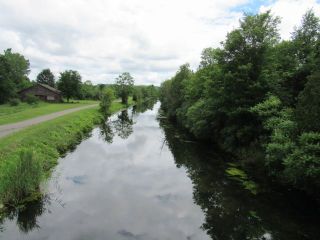
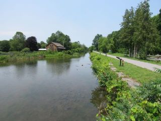
Minoa, New York (Syracuse)
 |
 |
 |
 |
 |
 |
 |
 |
 |
 |
 |
 |
 |
 |
 |
 |
 |
 |
 |
 |
 |
 |
 |
 |
 |
 |
 |
 |
 |
 |
 |
 |
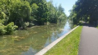
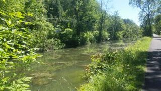
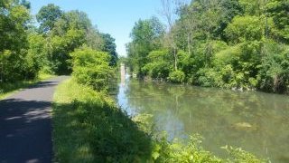
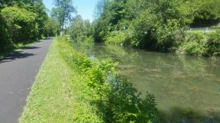
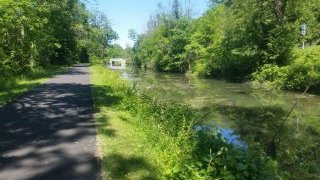
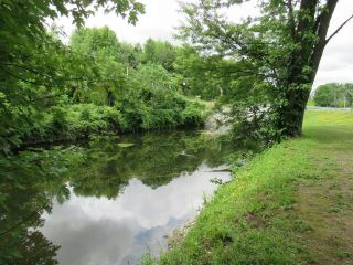
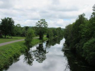
East Syracuse
 |
|
 |
 |
 |
 |
 |
 |
 |
 |
 |
 |
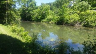
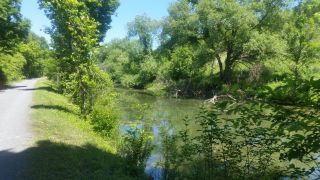
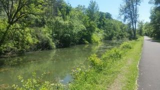
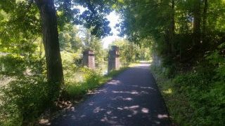
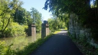
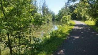
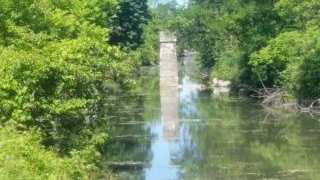
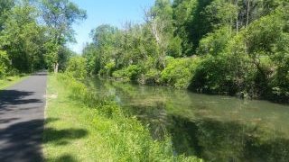
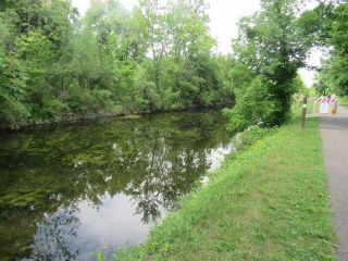
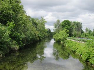
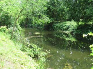
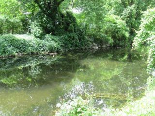
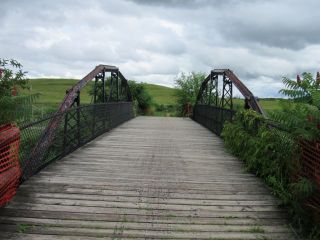
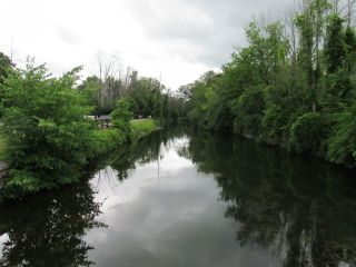
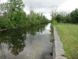
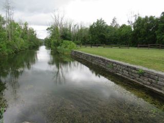
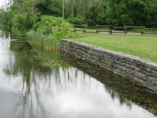
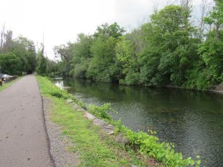
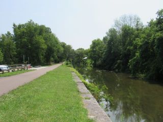
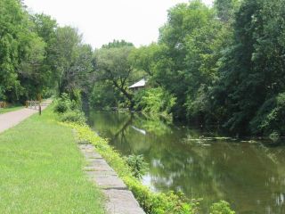
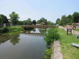
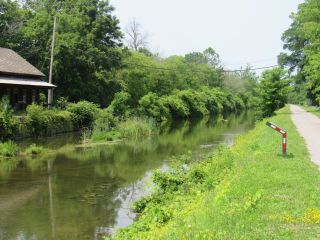
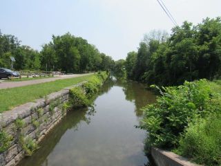
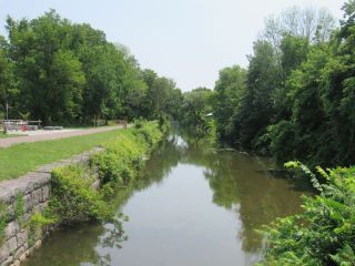
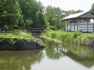
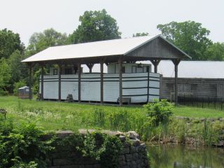
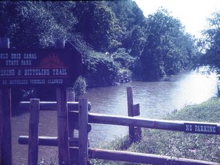
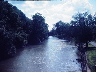
Cedar Bay, New York (Syracuse)
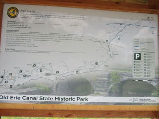 |
At Cedar Bay is a shelter, footbridge, and maps of the State Historic Park. |
 |
 |
 |
 |
 |
 |
 |
 |
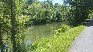
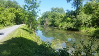
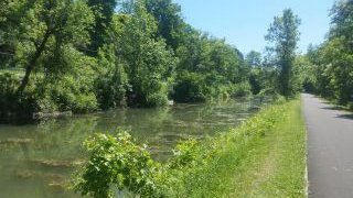
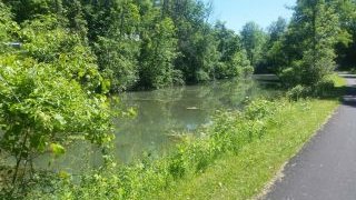
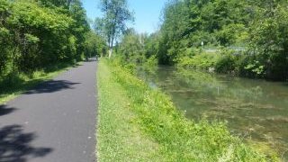
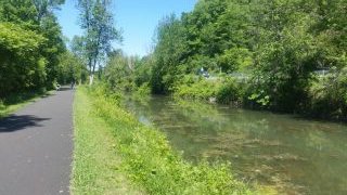
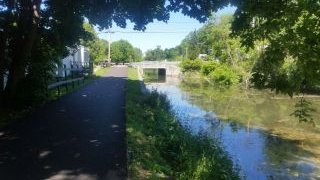
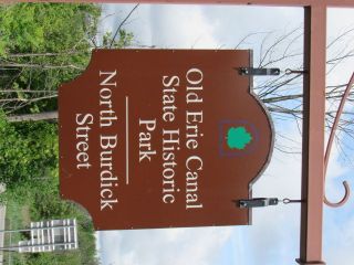
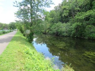
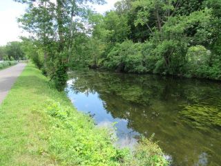
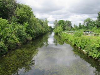
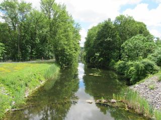
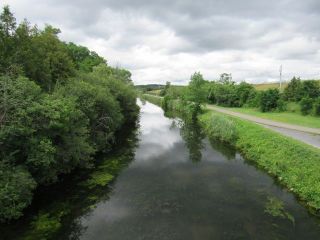
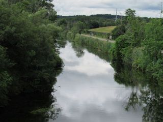
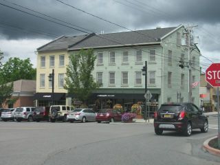
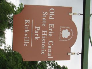
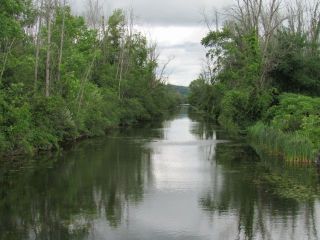
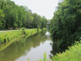
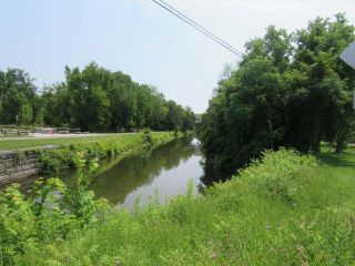
Kirkville, New York (Syracuse)
 |
 |
 |
 |
 |
 |
 |
|
|
|
|
|
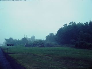
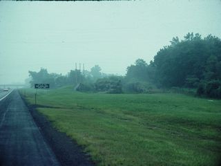
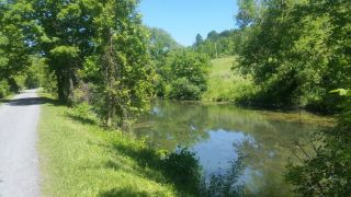
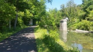
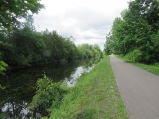
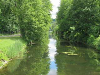
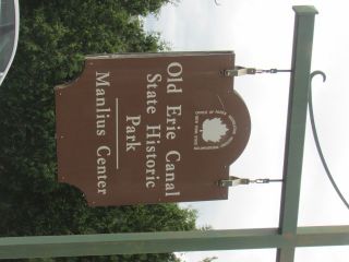
Chittenango
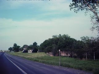
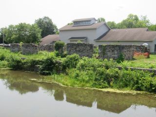
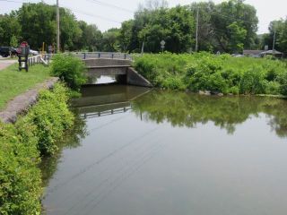
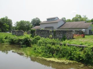
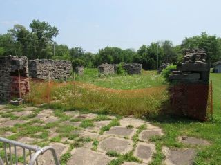
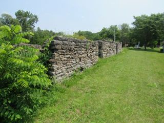
| Chittenango (a name that cries out to be said in a W.C. Fields accent) had a small branch canal and service facilities for canal boats. |
 |
 |
 |
 |
 |
 |
 |
 |
 |
 |
 |
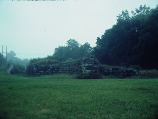
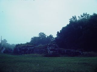
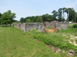
| Above a replica shelter and canal boat. |
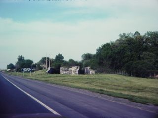
Below: branch canal and ruins of the
service buildings. |
 |
 |
 |
 |
 |
 |
 |
|
Rome-Utica
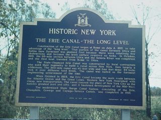 |
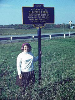
Construction of the Erie Canal began at Rome on July 4,
1817, to take advantage of the "long level". That portion
of the canal between Utica and Salina (now Syracuse) was
planned first because there were relatively few
obstructions and because the level surface required no
locks. In October, 1819, the 98-mile section between Utica
and the Seneca River was completed, and the first boat
traveled from Rome to Utica. The state-financed Erie Canal was constructed by local contractors who used their ingenuity to build a canal across New York, then largely a wilderness. The 363-mile canal was 40 feet wide and four feet deep: 83 locks took it over different land levels. The canal was hailed as the foremost engineering achievement of the time. When finished in 1825, the Erie Canal became the main route between the Atlantic Ocean and the Great Lakes. Western New York flourished with cheap, new transportation. The canal insured the place of New York City as the nation's greatest port and city, and it hastened development of the Mid-West. The modernized State Barge Canal System, consisting of the Erie, Champlain, Oswego and Cayuga-Seneca canals was completed in 1918. |
 |
 |
 |
 |
 |
 |
 |
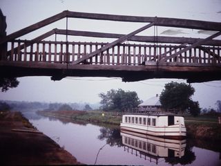 |
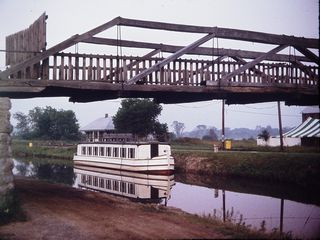
| Above: Replica canal boat on the canal. |
Below: Locks on the modern canal. |
 |
 |
Return to Virtual
Field Trips Index
Return to Historic Sites Index
Return to Professor Dutch's Home Page
Created 1 April 2007, Last Update 16 February 2022