Clear Lake, California
Steven Dutch, Professor Emeritus, Natural and Applied Sciences, Universityof Wisconsin - Green Bay
![]()
![]()
Clear Lake is the largest natural lake entirely within California. Lake Tahoe is larger, but shared with Nevada. The Salton Sea is larger but is artificial. Large areas north and south of the lake were burned in the summer of 2018.
Clear Lake sits in a high intermontane valley and does not drain to the Russian River immediately to the west, but through the Coast Ranges to the Sacramento River, a much more circuitous route. It is dammed at both ends by volcanic rocks.
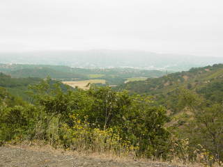 |
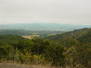
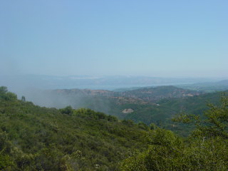
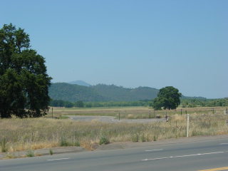
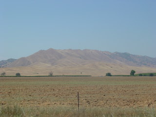
Left and below: looking west toward the Russian River valley from Highway 175. |
 |
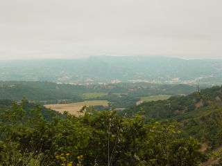 |
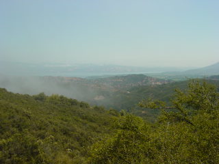
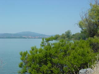
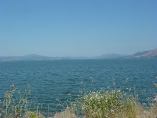
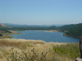
| Below: views of Clear Lake from the ridge crest. | |
 |
 |
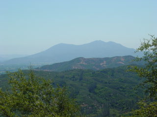
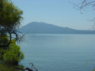
| Below: views of Mount Konocti, a cluster of Pleistocene volcanic cones. | |
 |
 |
 |
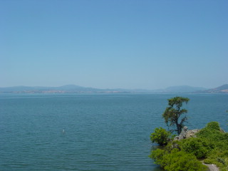
Left and below: looking toward the northern end of the lake. |
 |
 |
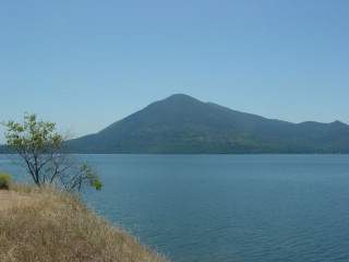 |
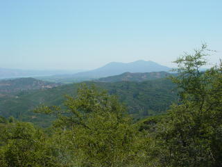
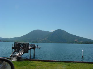
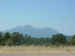
Left and below: Mount Konocti from the east side of the lake. Mount
Konocti has five summits, the highest 4,299 feet (1,310 meters) high. The volcano last erupted about 10,000 years ago and began erupting about 350,000 years ago. |
 |
 |
 |
Left: Borax lake is just over a ridge from Clear Lake. It looks like any other lake here, but when it dries out, it is rimmed with borate minerals. |
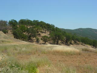 |
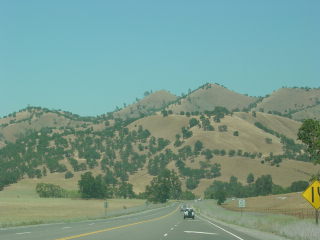
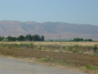
Left: typical Coast Range ecosystem. |
 |
Left: looking north from the southern outlet of clear Lake. Mount Konocti is just peeping over the ridge left of center. |
 |
Left: Mount Konocti from the south end of the lake. The multiple cones are well seen from this direction. |
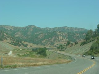 |
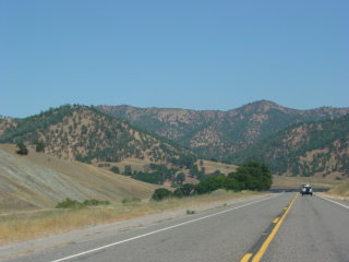
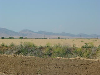
Left and below: the Coast Ranges east of Clear Lake. |
 |
 |
 |
Left and below: views west from the Central Valley showing cuestas of Cenozoic and Mesozoic rock. |
 |
 |
Return to Historic Sites Index
Return to Virtual FieldTrips Index
Return to Professor Dutch's Home Page
Created 15 January 2007, Last Update 06 June 2020