Black hillsand Western (Crouch Line), South Dakota
Pactola Reservoir to Johnson Siding
Steven Dutch, Professor Emeritus, Natural and Applied Sciences, Universityof Wisconsin - Green Bay
If there's a more bizarre place to put a railroad, much less a railroad that once had ambitions of reaching the Pacific, than the valley of Rapid Creek, South Dakota, I'm hard pressed to imagine what it could be. The Black hillsand Western Railroad went through a series of names, and was often called the "Crouch Line" after its founder,
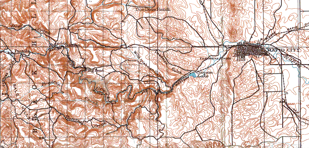
The figure above is scanned from an 1898 1:125,000 topographic map. The railroad starts at Rapid City on the far right, travels a fairly simple route past Canyon Lake (closely paralleled by present State Route 44), snakes up Rapid Canyon through Big Bend and Johnson (now called Johnson Siding) and thence to Pactola (now under a reservoir). It continued on past Pactola to Mystic in the central Black hills. The stretch beyond Pactola Reservoir is now a hiking trail.
Strange as it sounds, there were a fair number of railroads running along canyons in the eastern Black hills, though most were short lived. The most common cause of financial failure was flash flooding. The "Crouch Line" was the longest lived, running into the late 1940's. However, it had a well deserved reputation for being odd. It was called "the crookedest line in the world," it was said that the engineer could shake hands with the brakeman in the caboose at times, and it was claimed that the railroad crossed Rapid Creek over 100 times. In some places turns were so tight that the rails were specially curved before being laid.
Think about it. There are no paved roads. Automobiles are primitive and slow. You want to move large amounts of people, supplies, mining equipment, and timber in and out of the hills. How do you do it? Build a road and use horses or oxen? Painfully slow and not enough capacity. Put that many wagons on a road and you'll spend all your time and money repairing the road. If you're going to build a road good enough to handle heavy, high volume traffic, you might just as well build a railroad, which is more durable in everyday use, has a lot of capacity, and is much faster.
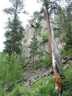
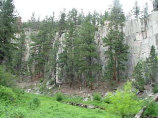
Between later road construction and floods, especially the infamous 1972 disaster, little of the railroad remains. It can be hard to tell whether apparent remnants of grade are the railroad grade itself, other old roads, or some other construction. The most obvious relics of the railroad are bedrock cuts.
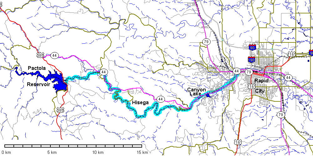
The map above shows the Crouch Line digitized onto present geography. The Crouch Line is emphasized with light blue.
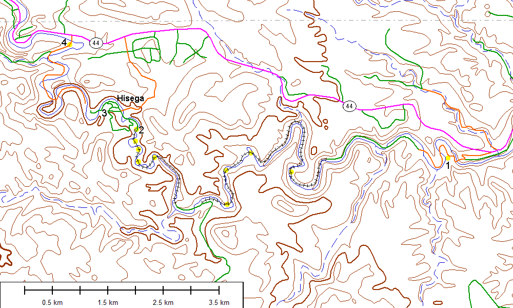
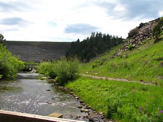
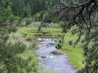
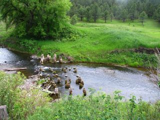
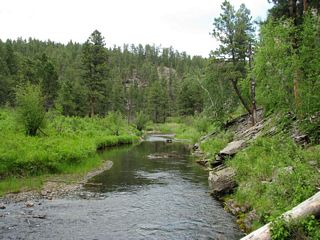
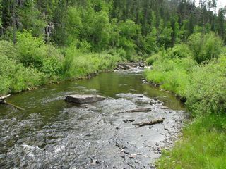
Detailed map of the section from Pactola Dam to Johnson Siding. This is the best preserved section of the railroad. Access is easy. None of the bridges are extant but pilings still exist and hikers frequently bridge them with planks. Nevertheless, hiking the full distance will require at least half a dozen fordings of Rapid Creek, none of which are dangerous at low water. Simply following one side is not an option. You will get wet.
Localities shown below are numbered, beginning with 5 to avoid confusion with sites on the eastern end of the line.
Pactola Dam
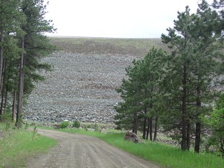 |
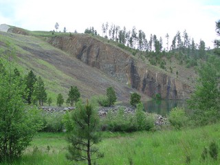
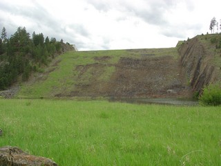
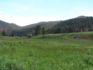
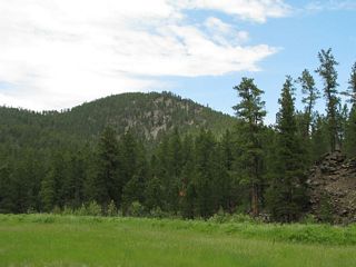
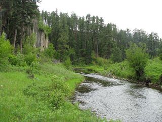
Left and below: the wide valley at Pactola has been dammed to form Pactola Reservoir. |
 |
 |
 |
Left: Pactola Dam, looking west. The road here ends not far to the east at a trailhead. The trail and this stretch of road closely match the railroad as shown on the 1898 map. |
 |
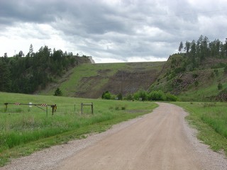
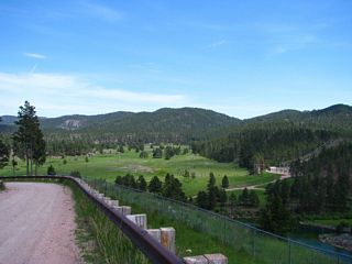
Road to the base of the dam |
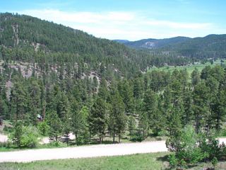 |
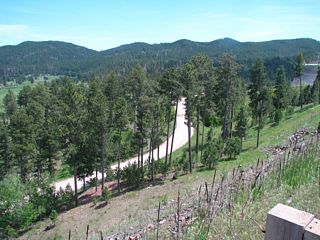
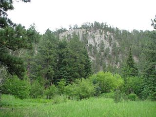
View east along Pactola Valley |
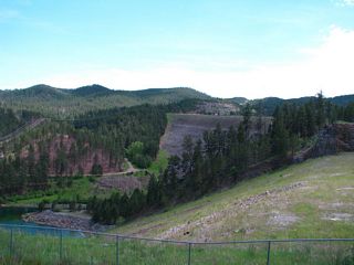 |
Pactola Dam from the trailhead road |
 |
Looking east down Pactola Valley |
 |
View of Pactola Dam |
Remnants of the Railroad
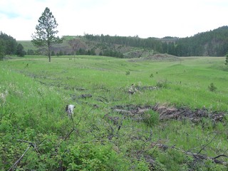 |
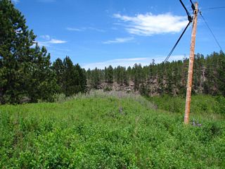
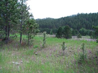
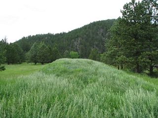
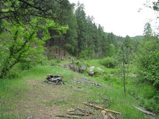
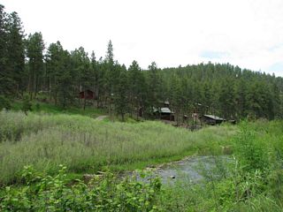
Locality 5, Left: distant view of Pactola Dam from
the far eastern end of the valley. The bench in the foreground is probably
a relic of the railroad.
|
 |
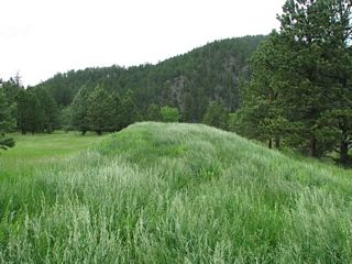
Left: another view of the bench Below: the raised berm probably marks a railroad grade. It's hard to imagine someone going to that much effort to build a road on an embankment in this area. |
 |
 |
 |
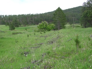
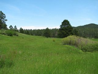
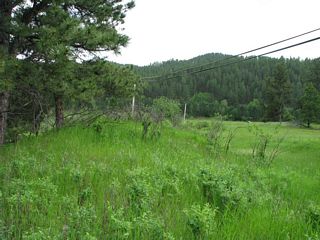
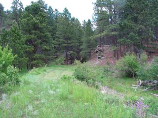
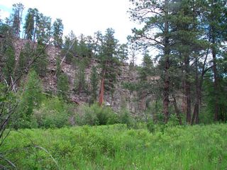
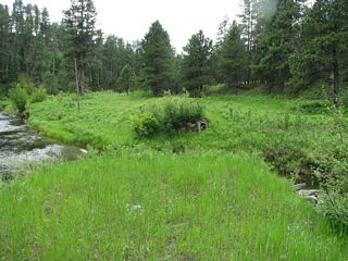
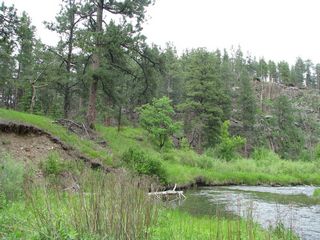
Locality 6: This bench and ditch at the southeast corner of Pactola Valley may be part of a railroad grade, may be an old road, or conceivably might have been a ditch for carrying water for placer mining. |
 |
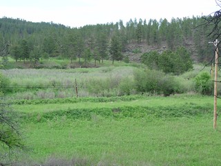
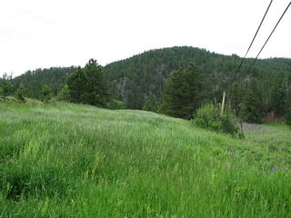
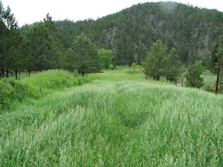
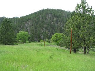
Locality 7 A broad sweeping bend wraps around the eastern end of the valley and crosses Rapid Creek twice. |
 |
 |
 |
 |
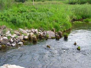 |
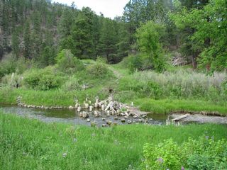
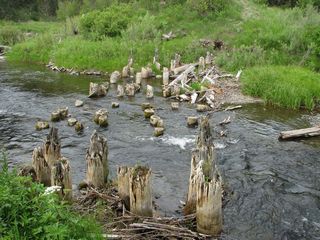
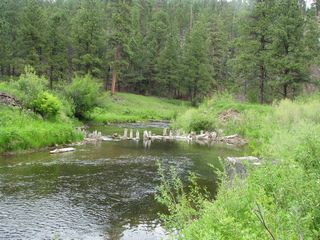
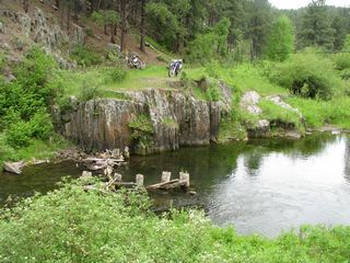
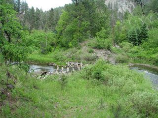
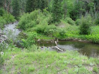
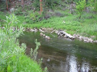
Pilings of a former bridge. |
 |
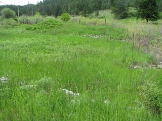
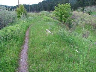
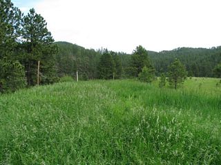
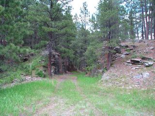
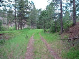
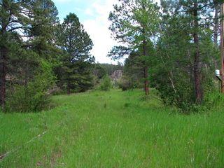
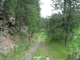
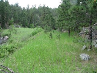
Below: views along the former grade |
 |
 |
 |
 |
 |
 |
 |
 |
 |
 |
 |
|
 |
 |
 |
 |
 |
 |
 |
 |
 |
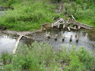
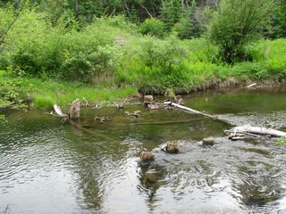
Locality 8 Remnants of a bridge. Accept it. You have to ford the creek. |
 |
 |
 |
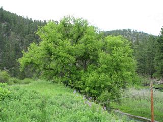
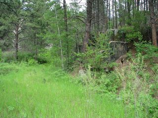
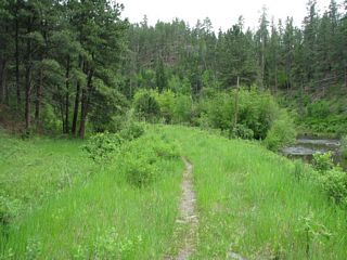
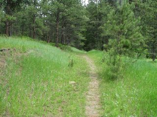
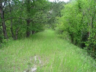
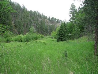
Views between localities 8 and 9 |
 |
 |
 |
 |
 |
|
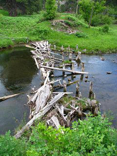 |
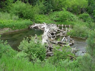
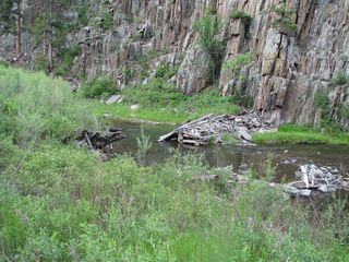
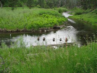
Bridge at Locality 9 |
 |
 |
 |
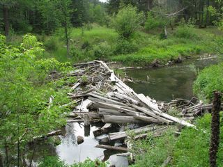
Looking north (downstream) toward the ruined bridge at Locality 10 |
 |
I hiked the bank before realizing that fording was unavoidable. Just wade. |
 |
Looking upstream (south) along Rapid Creek from just south of Locality 10 |
 |
Locality 10 |
 |
Locality 10 looking west along the grade. |
 |
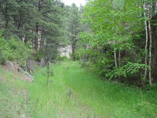
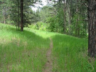
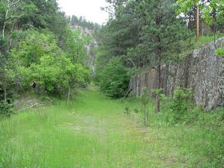
Views between Localities 10 and 11 |
 |
 |
 |
 |
 |
Locality 11 |
 |
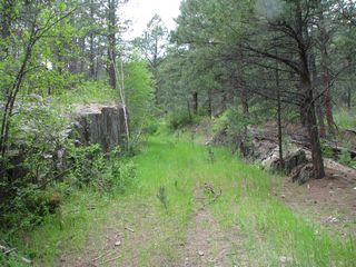
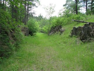
Views between Localities 11 and 12 |
 |
 |
 |
 |
 |
|
 |
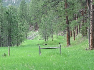
Placerville Church Camp Locality 12 There's a fence line here but it can be followed to pick up Rapid Creek on the other side of the meander. |
 |
Locality 13 |
 |
 |
 |
Between Localities 13 and 14 |
 |
 |
 |
|
 |
Locality 14 |
 |
 |
 |
Locality 15 |
 |
Locality 15 |
 |
Between Localities 15 and 16 |
 |
 |
 |
Locality 16 |
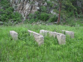 |
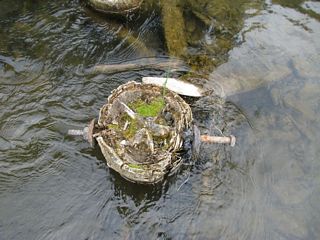
Platform foundation |
 |
Bridge at Locality 17 |
 |
Locality 17 |
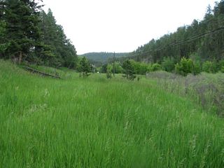 |
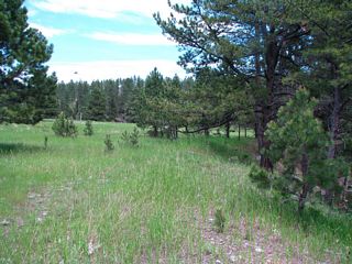
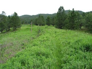
Grade on west side of Rapid Creek, looking north toward Johnson Siding. |
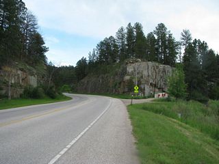 |
This road cut on Highway 44 just west of Rapid Creek is not an old railroad cut. |
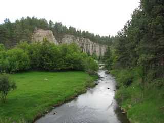 |
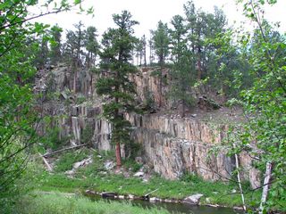
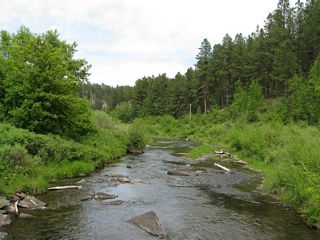
View south (upstream) along Rapid Creek from Highway 44 at Johnson Siding. There's a deep entrenched meander along the cliffs but the railroad avoided it and ran about where the bridge is in the middle distance. |
Return to Historic Sites Index
Return to Virtual FieldTrips Index
Return to Professor Dutch's Home Page
Created 08 July 2012, Last Update 06 June 2020