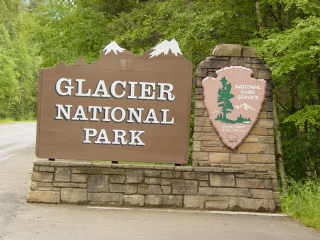
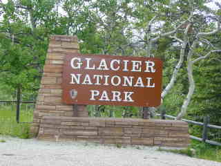
Glacier National Park, Montana
Steven Dutch, Professor Emeritus, Natural and Applied Sciences, University of Wisconsin - Green Bay
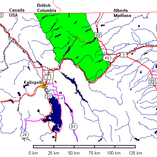
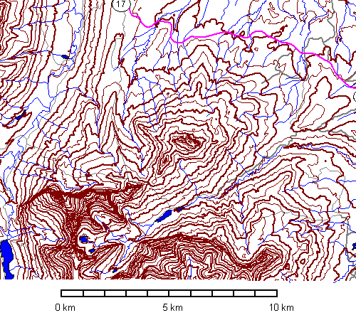
Above: General Location of Glacier National Park
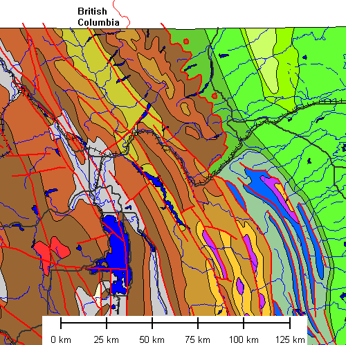
Simplified geologic map of Glacier National Park. Faults are in red. Belt Supergroup rocks are brown, with darker shades older. The Belt Supergroup represents the Precambrian rifted margin of North America. Cambrian rocks are buff, lower Paleozoic purple, and upper Paleozoic blue. Cretaceous rocks are green. Note the two isolated remnants of thrust sheet (klippen) northeast of the park. This map barely hints at the complexity of thrust faulting within the Belt Supergroup.
Kalispell
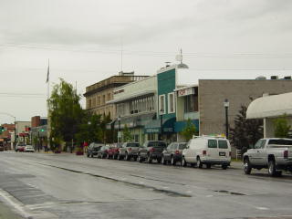 |
Kalispell is a nice enough town but for a place that consists essentially
of a crossroads (US 2 and US 93) it has the most congested traffic I've
ever seen in such a small place.
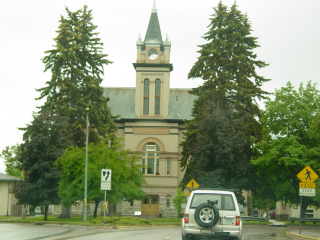
Below: an interesting quirk is the county courthouse, located on an island in the middle of US 93. |
 |
 |
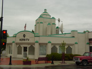 |
Left: An art-deco TV studio.
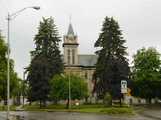
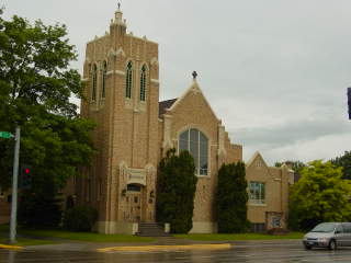
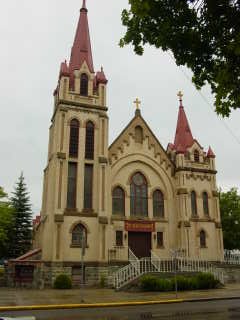
Below: Churches in Kalispell. |
 |
 |
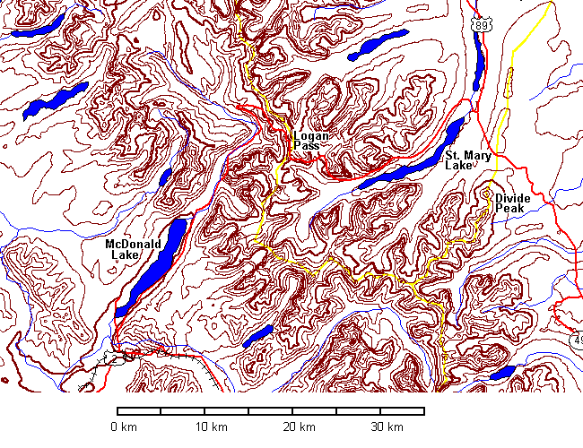
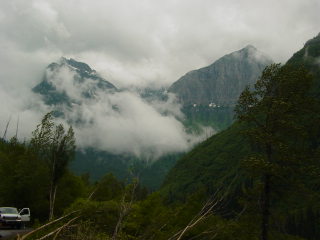
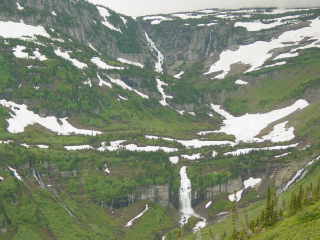
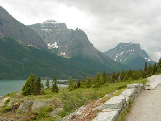
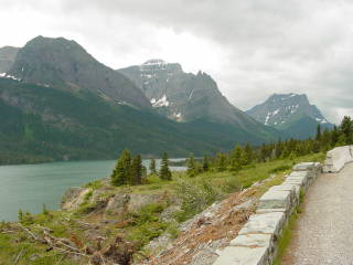
Above: The heart of Glacier National Park. The highway through Logan Pass is the Going-to-the-Sun Highway. The yellow lines are the Atlantic-Pacific continental divide (southern part of map area), the Atlantic-Hudson Bay divide (northeastern) and the Pacific-Hudson Bay Divide (northern). They meet at appropriately-named Triple Divide Peak south of St. Mary Lake (not labeled). This is not to be confused with Divide Peak a few kilometers to the northeast.
 |
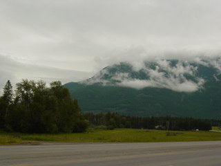
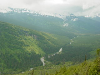
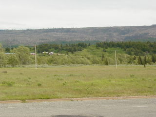
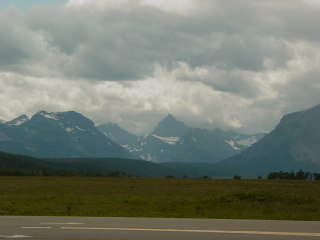
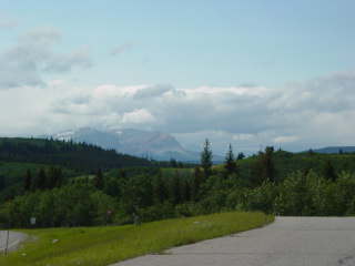
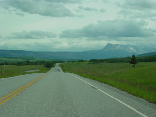
On U.S. 2 east of Kalispell |
 |
 |
 |
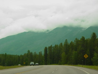 |
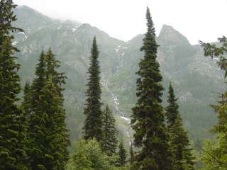
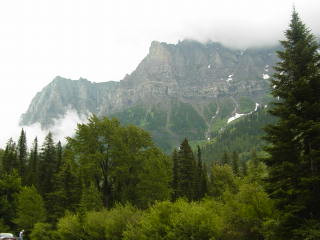
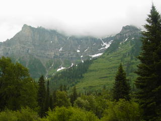
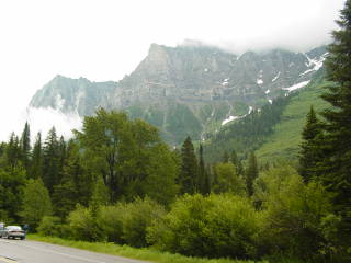
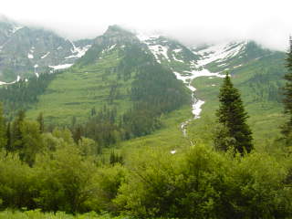
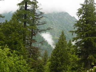
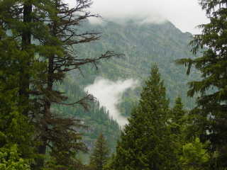
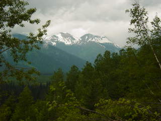
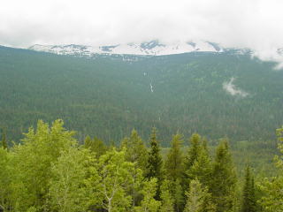
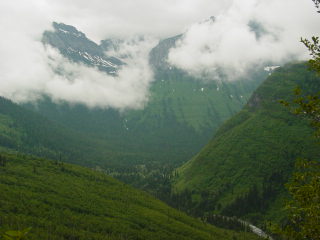
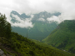
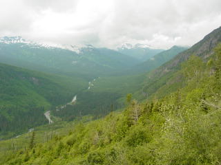
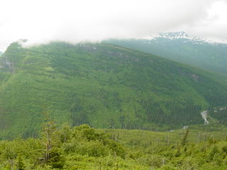
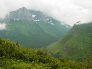
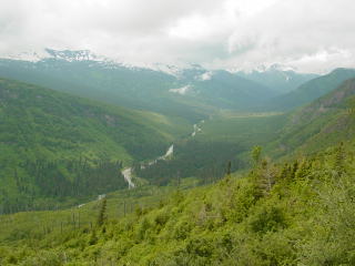
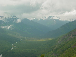
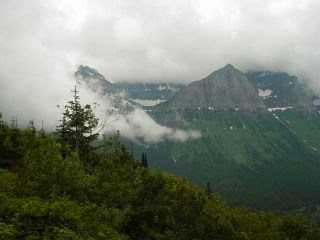
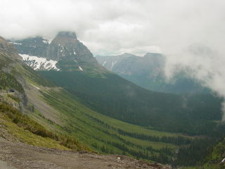
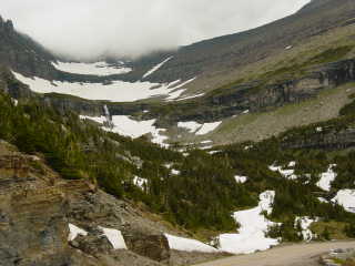
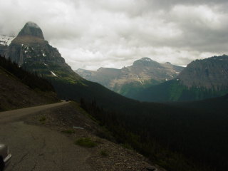
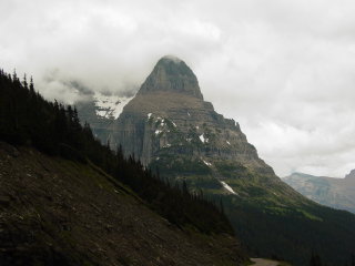
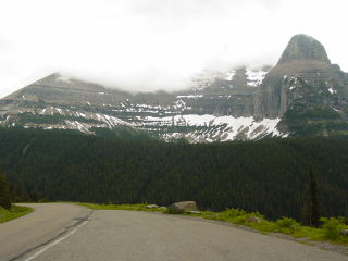
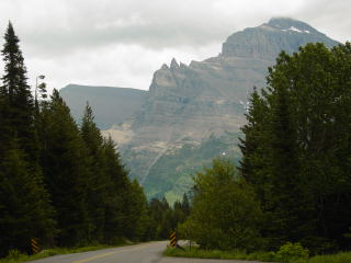
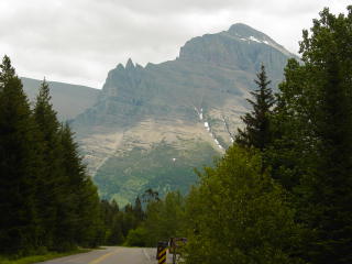
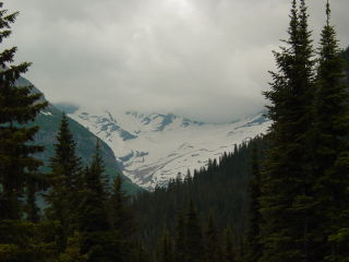
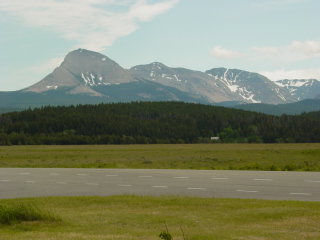
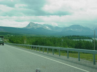
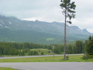
West of Logan Pass
 |
|
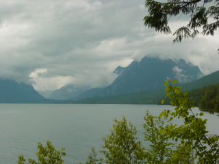 |
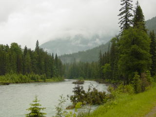
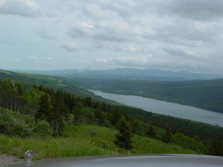
McDonald Lake. |
 |
 |
 |
 |
 |
 |
 |
 |
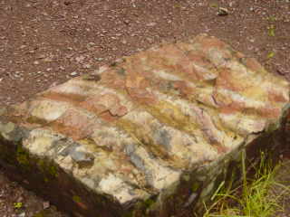 |
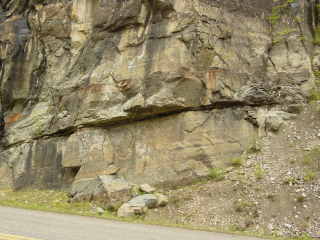
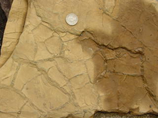
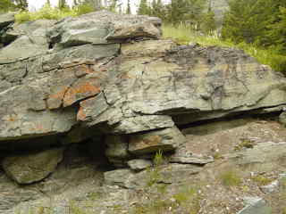
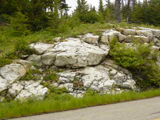
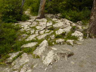
Ripple marks in Belt Supergroup quartzite. |
 |
 |
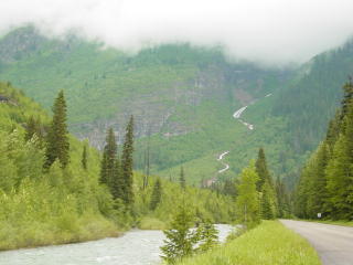 |
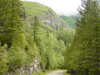
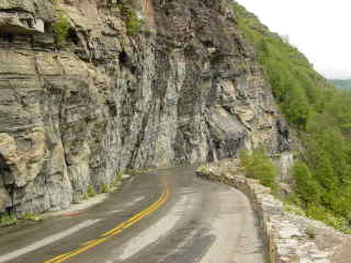
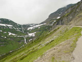
The road curves left and begins its ascent ahead. |
 |
|
 |
|
 |
|
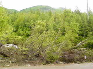 |
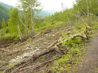
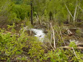
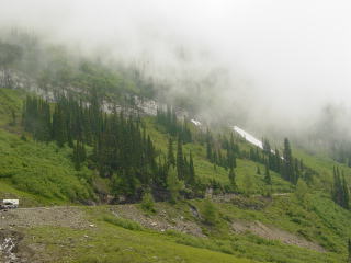
Left and below: a recent landslide. |
 |
 |
 |
|
 |
 |
 |
|
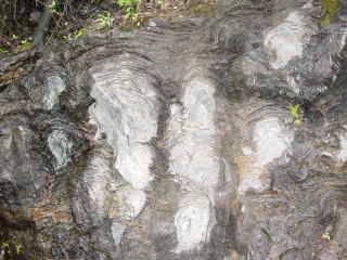 |
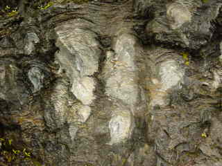
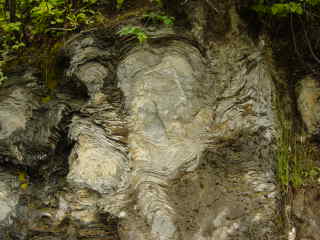
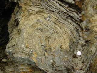
Left and below: Stromatolites in the Siyeh Limestone. |
 |
 |
 |
|
 |
Left: Calcareous Siyeh metasediments in the Belt Supergroup. |
 |
 |
 |
 |
 |
|
 |
|
 |
 |
 |
 |
 |
Mud cracks |
 |
 |
 |
 |
 |
 |
 |
 |
 |
 |
 |
 |
 |
 |
 |
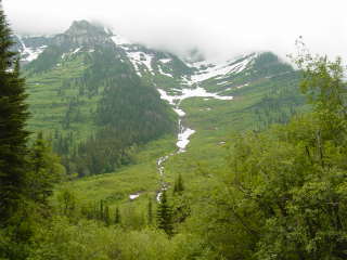
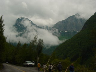
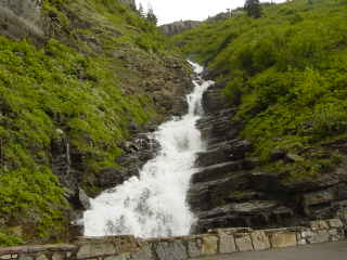
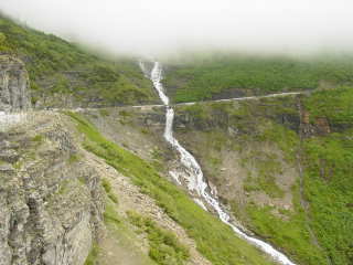
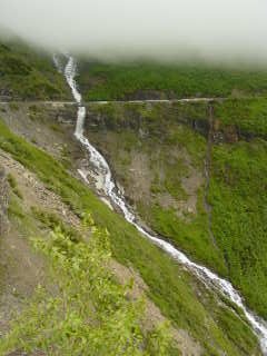
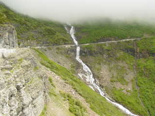
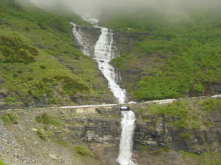
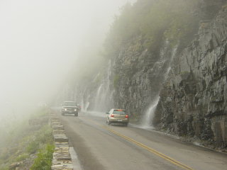
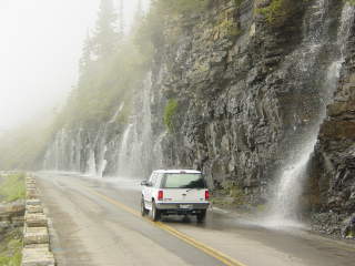
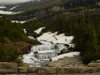
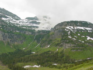
You've heard of the Wailing Wall? This is the Weeping Wall. The pros consider it good practice not to build roads through waterfalls but here it can't be avoided. |
 |
 |
 |
 |
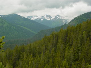
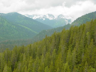
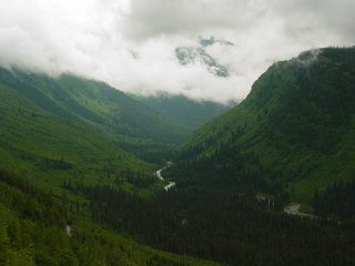
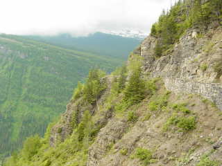
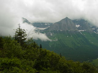
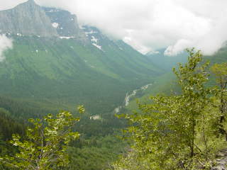
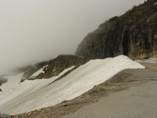
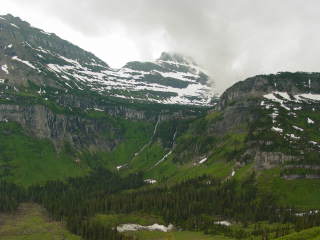
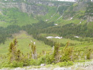
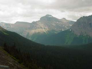
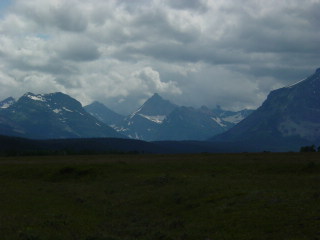
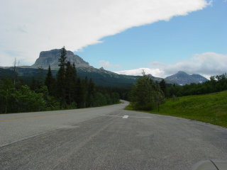
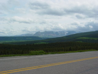
East of Logan Pass
 |
 |
 |
 |
 |
 |
 |
 |
 |
 |
 |
 |
 |
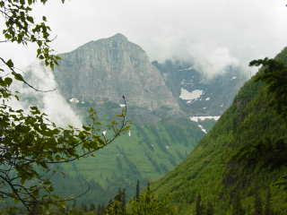
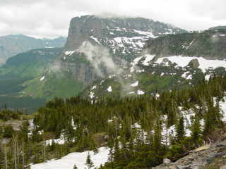
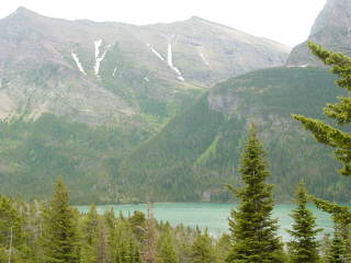
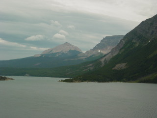
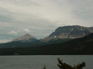
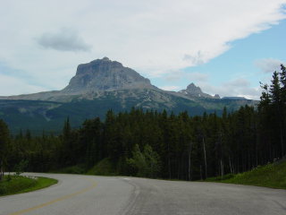
The horn-like peak is Gunsight Peak, which is prominent in the postcard view up St. Mary Lake. |
 |
 |
 |
 |
 |
 |
 |
|
 |
Left: Jackson Glacier.
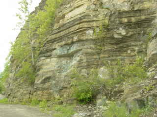
Below: Belt Supergroup outcrops: Siyeh Limestone at left, Grinnell Argillite at right. |
 |
 |
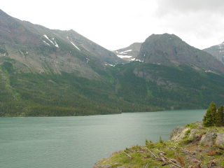
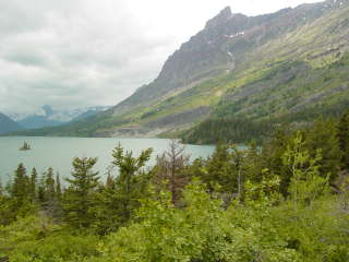
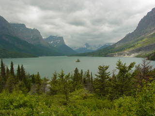
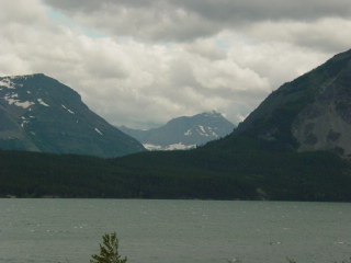
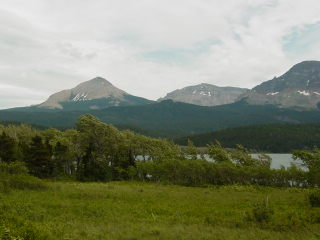
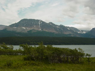
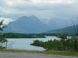
St. Mary Lake
 |
 |
 |
 |
 |
 |
 |
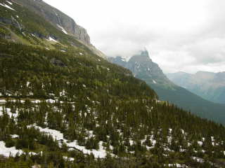
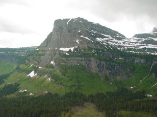
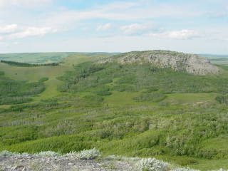
Left: Divide Peak is the sharp, separated peak. |
 |
Appekunny Argillite |
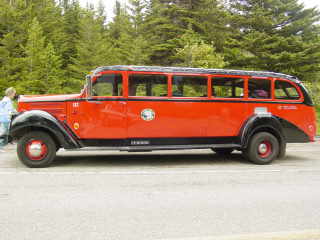 |
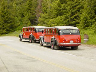
For years the Glacier Park lodges ran these spiffy red tour buses. After the public objected to plans to retire them, they were refurbished and put back in service. |
 |
 |
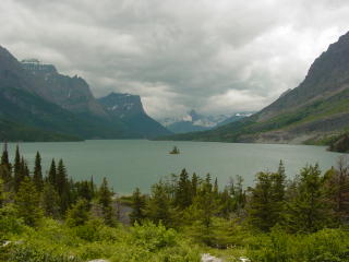 |
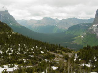
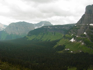
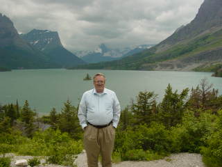
This is the postcard view of Glacier National Park. |
 |
 |
 |
 |
 |
|
 |
|
 |
|
 |
 |
 |
 |
 |
|
 |
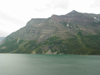
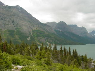
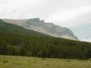
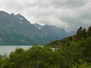
Looking west from the end of St. Mary Lake. The sharp mountain front
is a thrust fault where Precambrian Belt metasedimentary rocks were
thrust eastward over Cretaceous rocks. The thrust is called the Lewis
Thrust (poor Clark gets the short end once again!) Sadly, where the highway crosses the fault, there is no safe place to park and a stream masks the fault. Worse yet, none of the naturalists at the visitor center knew where there was an easily accessible place to see the contact. |
 |
Looking south, the valley is cut into the Cretaceous rocks and topped by a moraine. |
 |
Left and below: views of the mountain front. |
 |
 |
 |
 |
 |
 |
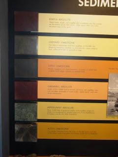 |
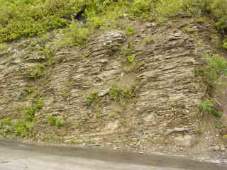
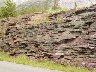
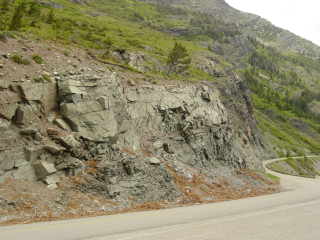
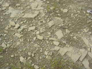
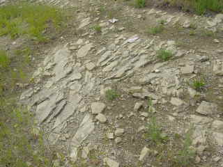
The Belt rocks are rather drab. The section, represented by these
samples, consists of: Kintla Argillite Shepard Limestone Siyeh Limestone Grinnell Argillite Appekunny Argillite Altyn Limestone |
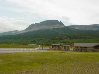
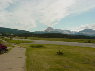
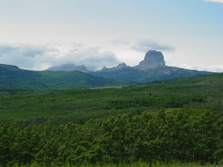
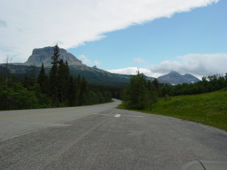
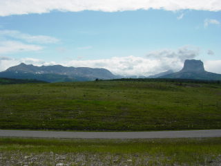
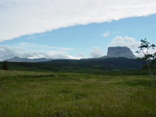
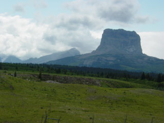
Chief Mountain
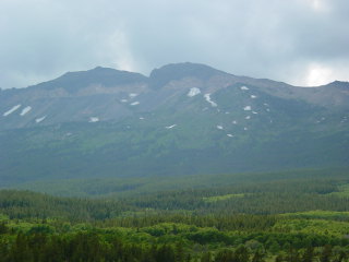
Above: Chief Mountain area.
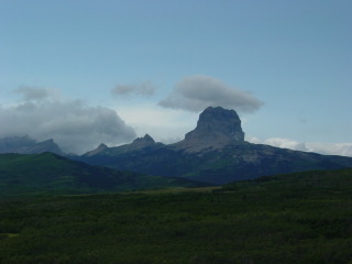 |
Chief Mountain is the premier example in the world of a klippe, an erosionally-detached remnant of a thrust sheet. |
 |
 |
 |
The road re-enters the park just a couple of kilometers from the Canadian border. This being the post-9/11 era, we didn't cross just to check off a new Canadian province. |
 |
|
 |
There is, alas, no easy way to get to the thrust contact here except by a fairly strenuous hike. |
 |
 |
 |
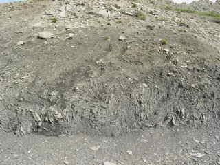
Left and below: Cretaceous siltstones underlying the Precambrian Belt metasediments. |
 |
|
 |
 |
 |
 |
 |
 |
 |
|
 |
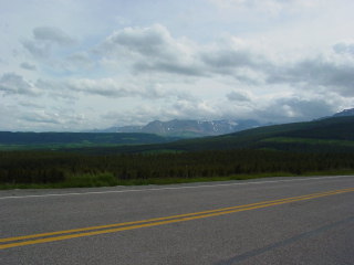
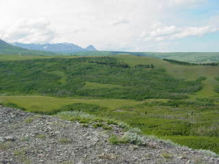
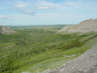
Looking east. This is the southern end of the Ice-Free Corridor. An ice lobe from St. Mary Valley would have extended across much of the middle distance, and Laurentide ice would have ended about on the horizon. |
 |
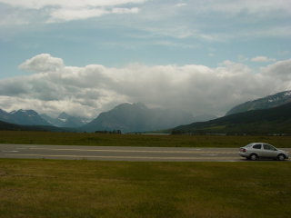
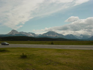
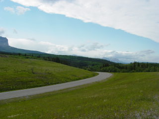
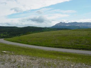
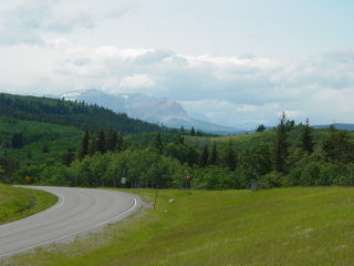
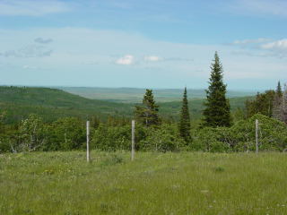
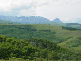
Southeast Glacier Park
 |
US 89 and Montana SR 49 follow the southeastern boundary of Glacier National Park before joining US 2 at the south end. |
 |
 |
 |
|
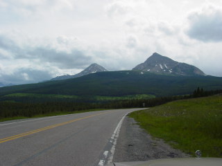 |
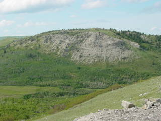
Divide Peak, which is visible in many pictures above, is also a klippe, but is not as famous as Chief Mountain probably because it lacks the dramatic shape and is not so obviously a separated remnant of a thrust sheet. |
 |
 |
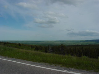 |
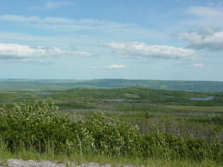
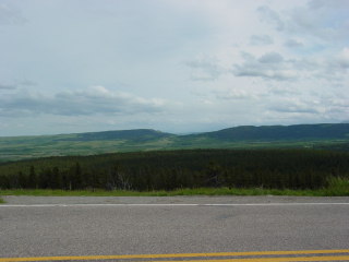
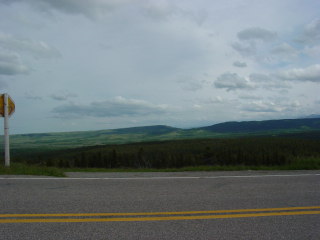
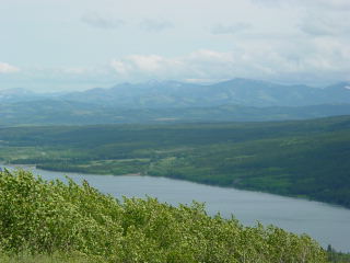
Looking east over the low relief of the Cretaceous high plains. |
 |
Montana highway 49 cuts southwest and follows the border of the park. It rises up on Cretaceous siltstones. The edge of the Belt rocks and the Lewis Thrust are clearly visible. |
 |
|
 |
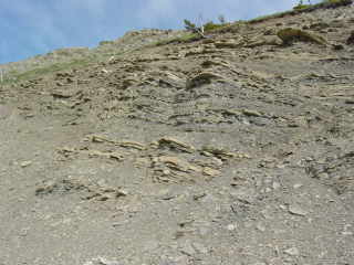
Gray Cretaceous siltstones crop out in the bluff. Below: looking east over the Cretaceous rocks. |
 |
 |
 |
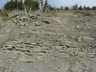
Left: contorted Cretaceous rocks, deformed by the thrusting. The
thrust fault is now a few kilometers to the west but probably once extended
over this location.
Below: tilted Cretaceous siltstones. |
 |
 |
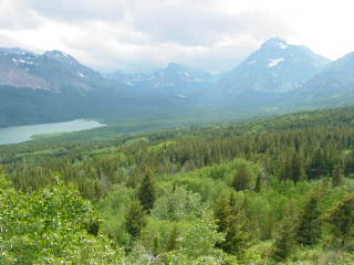 |
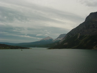
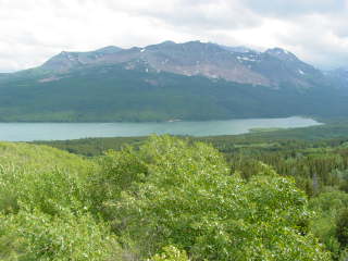
Left and below: Views of Lower Two Medicine Lake |
 |
 |
 |
 |
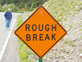 |
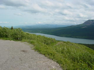
They really don't have much sympathy for people on this road! |
 |
Left and below: views of the thrust at the south end of the park. |
 |
Return to Historic Sites Index
Return to Virtual FieldTrips Index
Return to Professor Dutch's Home Page
Created 20 November 2005, Last Update 07 June 2020