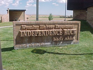
Independence Rock, Wyoming
Steven Dutch, Professor Emeritus, Natural and Applied Sciences, University of Wisconsin - Green Bay
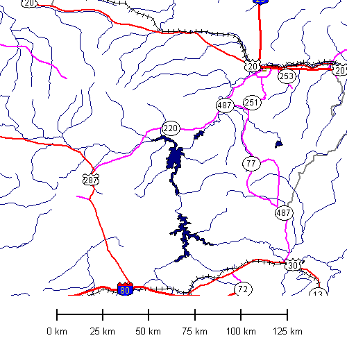
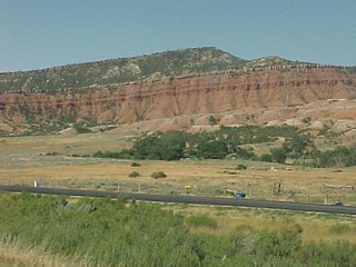
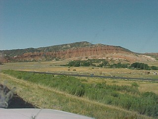
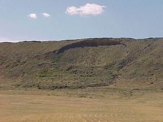
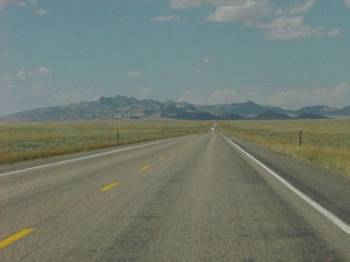
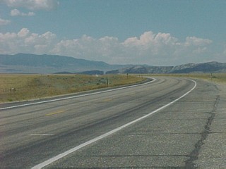
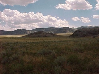
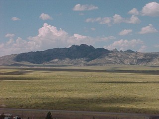
Casper to Independence Rock
 |
 |
 |
|
 |
Small landslide near Alcova. |
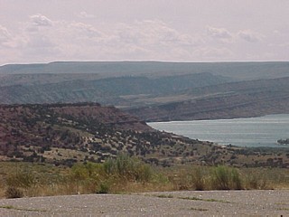 |
Pathfinder Reservoir. |
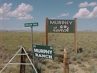 |
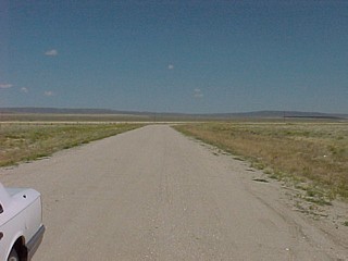
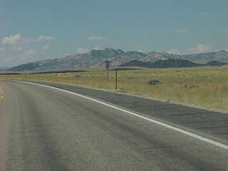
Left and below: a somewhat modernized stretch of the Oregon Trail. |
 |
 |
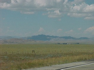 |
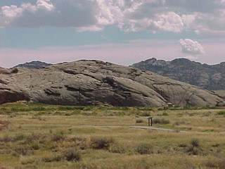
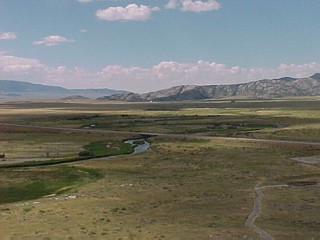
Left and below: scenery near Independence Rock. |
 |
 |
 |
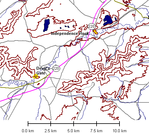
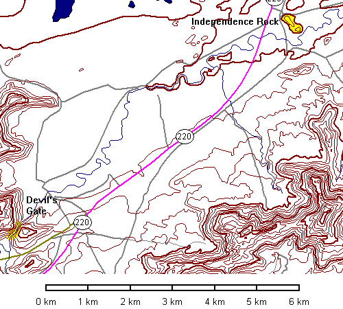
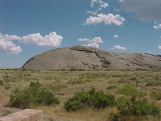
Neither Independence Rock nor nearby Devil's Gap are visible from a distance. Both are examples of exhumed topography, and not until you drop into the Sweetwater River valley can they be seen. Here is the first view of Devil's Gap. Independence Rock is still hidden to the left. |
Independence Rock
 |
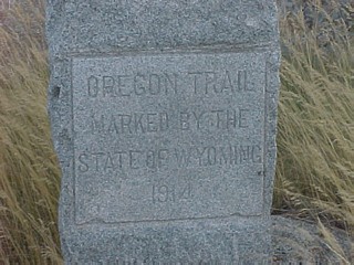
Emigrants on the Oregon Trail named this landmark Independence Rock because their goal was to get here by July 4 to avoid autumn snow in the mountains further west. |
 |
 |
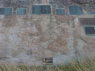 |
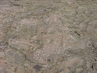
Parts of the rock are paved with commemorative tablets. |
 |
Survivors of the Oregon Trail began pushing for preservation and commemoration of the trail in the early 1900's. |
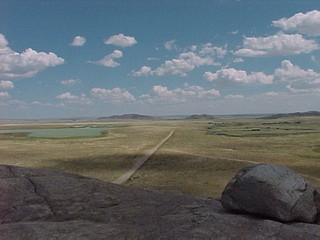
Views From the Top
 |
|
 |
Looking southwest to Devil's Gap |
 |
Looking west. |
 |
Looking east. What appears to be an erratic is a remnant of an exfoliation sheet weathered in place. |
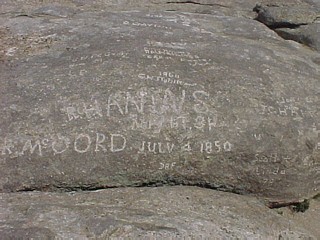
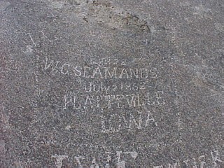
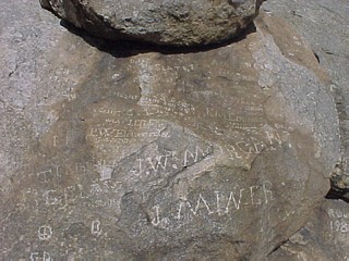
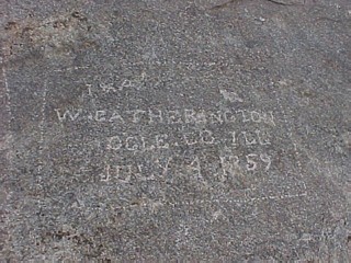
A Nice Philosophical Problem
 |
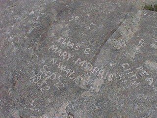
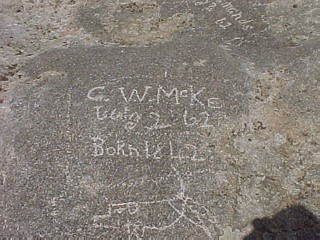
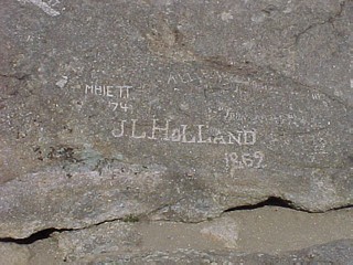
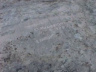
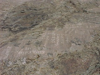
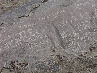
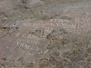
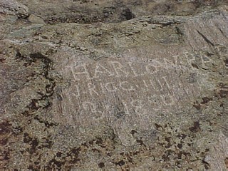
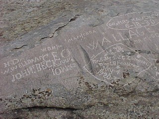
How old does graffiti have to be before it stops being defacement and starts being something of historical value? Independence Rock is liberally covered with graffiti from Oregon Trail travelers and later. |
 |
 |
 |
 |
 |
 |
 |
 |
 |
 |
 |
 |
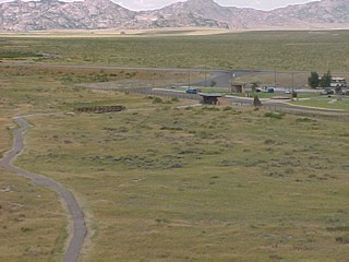 |
View of the visitor center from the summit. The small bridge spans wagon ruts of the Oregon Trail. |
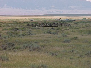 |
The bridge over original wagon ruts of the Oregon Trail. Erosion has softened the ruts so they are now expressed only as a shallow trough. |
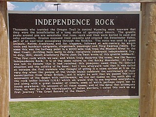 |
"Thousands who traveled the Oregon Trail in central Wyoming were unaware that they were the beneficiaries of a long series of geological events. The granite peaks around you are mountains that rose, sank, and then were buried in sand and silty sediments. Erosion exposed their summits and created the Sweetwater Valley, part of an east-west passageway through the Rockies." |
Geology of Independence Rock
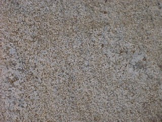 |
Like most of the crystalline rock of Wyoming, Independence Rock is Archean granite |
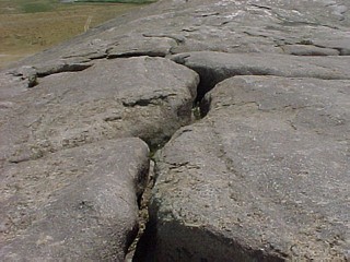 |
Open weathered joints on the summit. |
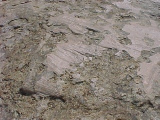 |
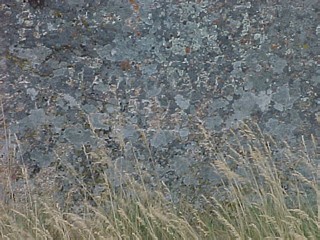
Left and below: the best inscriptions are found on the summit in areas of highly polished and fluted rock. Water and glaciation are out of the question. This polish can only be due to wind. |
 |
 |
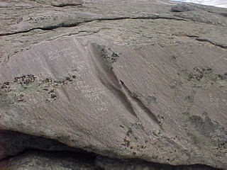 |
Spectacular polish and fluting. |
Return to Historic Sites Index
Return to Virtual FieldTrips Index
Return to Professor Dutch's Home Page
Created 7 April 2003, Last Update 06 June 2020