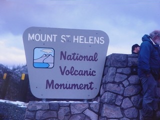
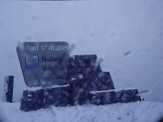
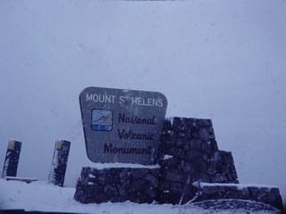
Mount Saint Helens
Steven Dutch, Professor Emeritus, Natural and Applied Sciences,
University of Wisconsin - Green Bay
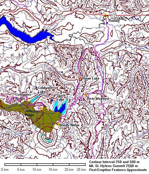
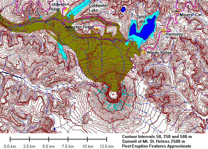
Data for Mount Saint Helens is somewhat ambivalent. The topography available
online from the U.S. Geological Survey dates from 1981 and shows changes due
to the eruption. But all the other data layers - hydrography, roads, and so,
date from 1978! Thus the data show the pre-eruption glaciers, outline
of Spirit Lake, and the now-buried course of old state highway 504. On the maps
above, the buried highway is dark purple, new lakes are light blue and the debris
flow is light brown. Post-eruption data from U.S. Forest Service maps.
 |
October 28, 1994 |
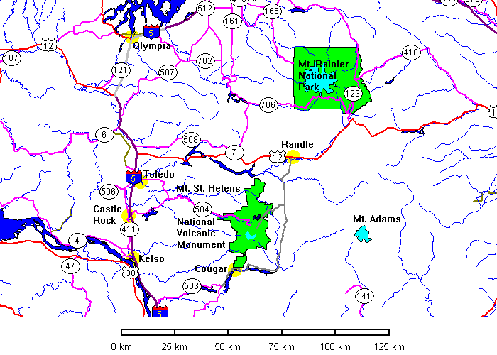
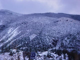
North Entrance: Randle to Goat Mountain
 |
The plan was simple: drive south from Randle via Goat Mountain,
Ryan Lake and Norway Pass to Windy Ridge. |
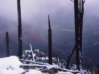
 |
The first view of the blast area is standing but dead trees on the
fringe. |
|
|
 |
 |
 |
|
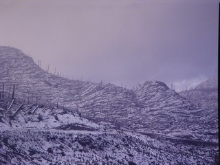
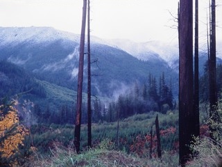
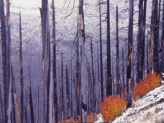
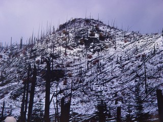
The Best Laid Plans
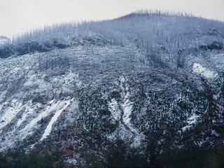
|
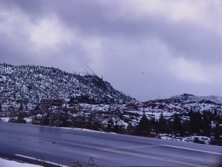
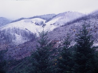
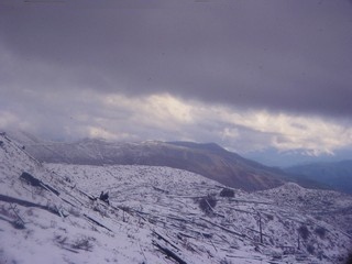
By the time we were at Goat Mountain it was obvious that fall had
progressed into winter. Here we are definitely within the blast zone. |
|
|
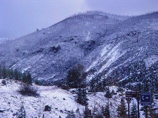 |
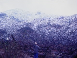
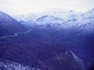
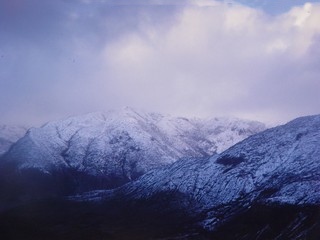
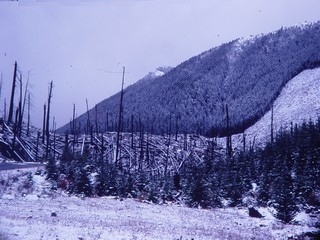
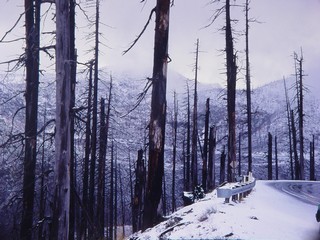
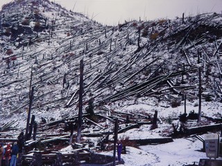
Below: it became increasingly obvious we were not going to get in
this way. |
 |
 |
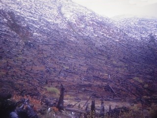
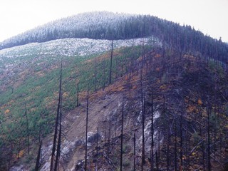
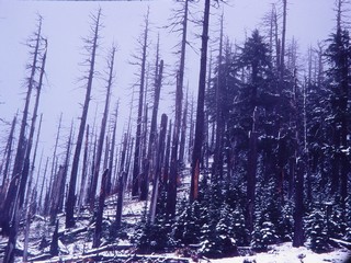
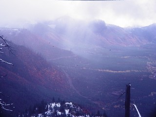
Bear Meadow
|
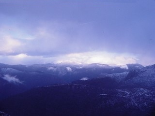
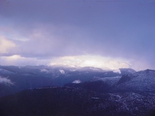
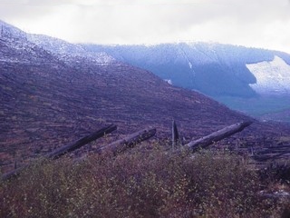
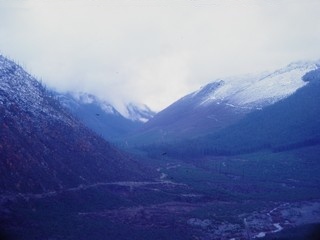
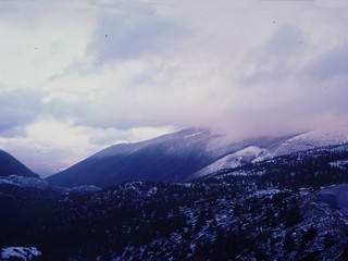
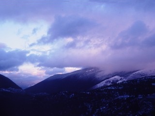
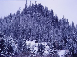
Okay, go to plan B. Go in through Bear Meadow and hope for improved
weather. Of course, we can't see Mount St. Helens today, but we can
perhaps do some of Day 2's stops. Left is undisturbed timber at Bear
Meadows, below are standing dead trees on the fringes of the blast zone. |
|
|
 |
|
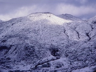
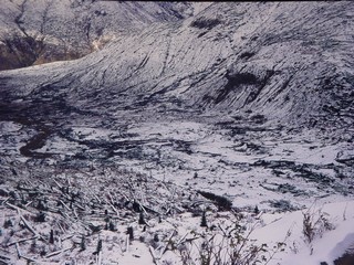
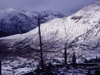
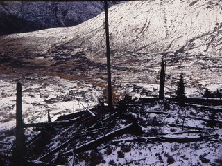
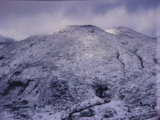
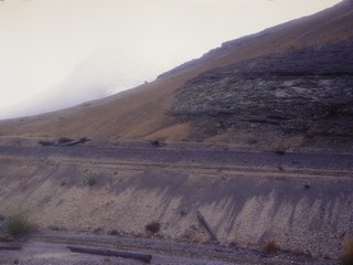
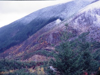
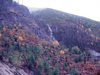
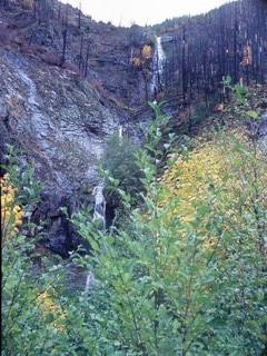
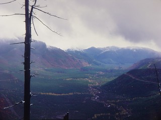
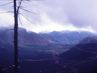
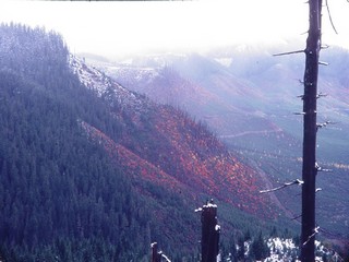
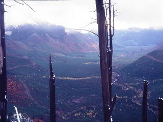
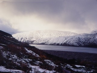
Clearwater Creek Canyon
 |
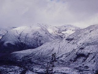
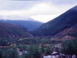
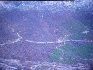
On a clear day this is a truly wonderful view. Clearwater Creek
valley is one of the finest textbook glacial valleys anywhere. The blast
moved down the west (right) flank of the valley and spilled across the
floor, but not up the opposite side. The blast was mostly directed north,
and here only a small portion of the pyroclastic flow spilled over the
intervening ridges. By the time it got here it had lost most of its
momentum and density. |
|
|
|
|
 |
|
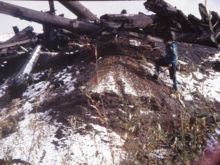
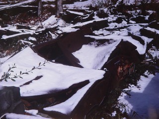
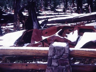
Miners' Car
|
Two miners were in their cabin here when the blast hit. Their car,
rusted and burned out, is still here. |
 |
|
|
|
 |
 |
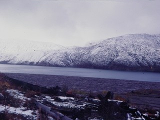
Harmony Basin
Spirit Lake
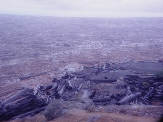
|
Distant view of the log raft on Spirit Lake. |
 |
 |
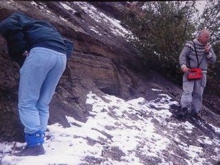
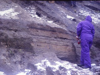
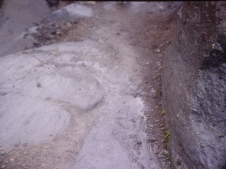
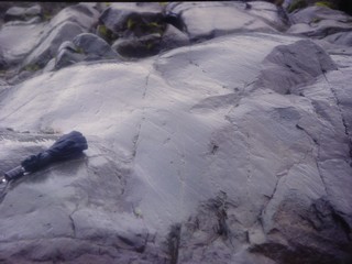
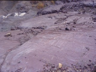
Glacial Geology
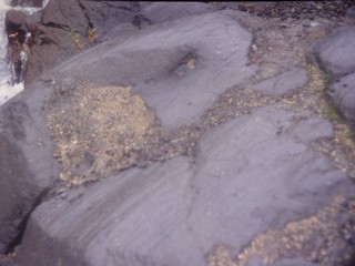 |
This area was glaciated during the Illinoisan ice advance, the next
to last ice age. It's very unusual to be able to see Illinoisan glacial
features. |
 |
 |
 |
 |
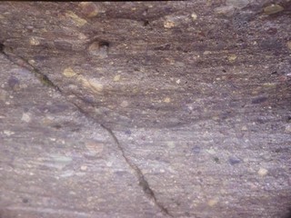 |
Glacial striations |
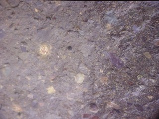 |
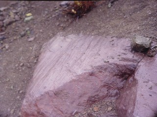
Porphyritic dacite |
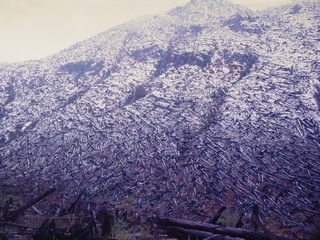
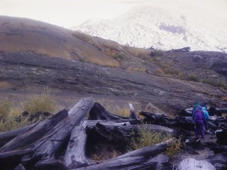
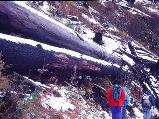
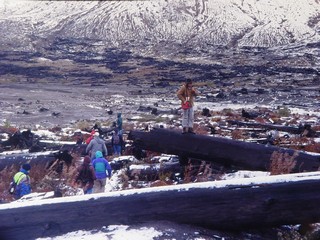
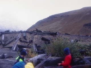
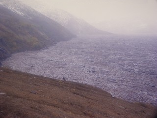
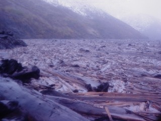
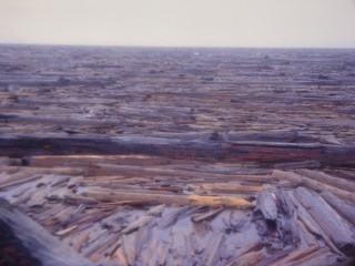
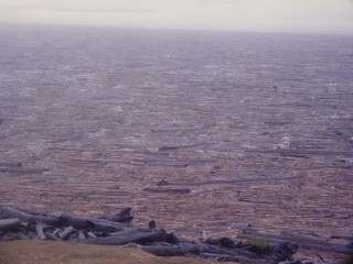
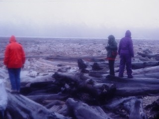
The Floating Log Raft
|
The weather was as thoroughly rotten as it looks. These are logs
that were knocked down by the blast, picked up by the wave created when
the landslide hit Spirit Lake, then carried back into the lake. |
 |
 |
 |
 |
 |
|
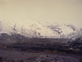
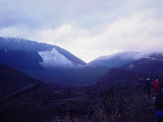
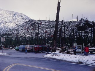
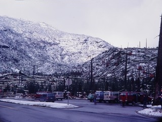
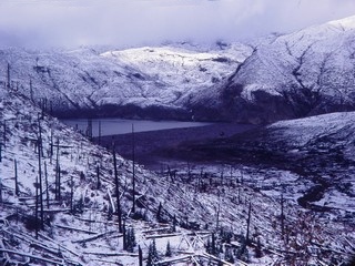
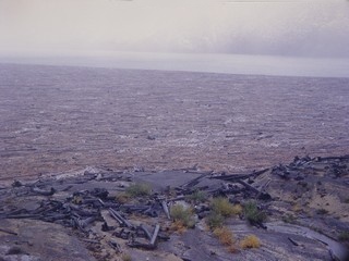
Windy Ridge
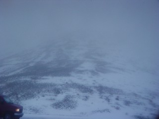 |
Even by the standards of a place called Windy Ridge, it was windy.
Actually it was a blizzard. The faint horizontal texture on the ground
is scour from the 1980 pyroclastic flow. |
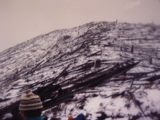 |
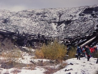
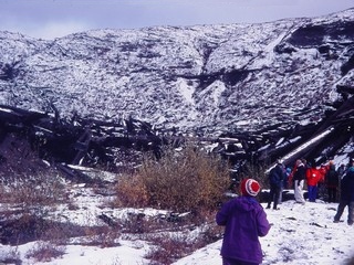
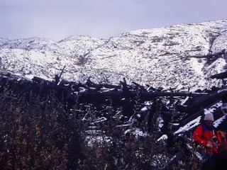
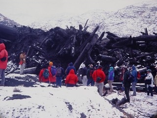
Downed timber on Windy Ridge. |
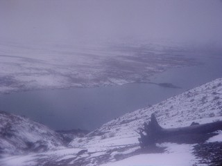 |
The south end of Spirit Lake. The low slope on the far side is the
1980 landslide. |
Out the Way We Didn't Come In
Return to Historic Sites Index
Return to Virtual FieldTrips Index
Return to Professor Dutch's Home Page
Created 15 April 2003, Last Update
08 June 2020