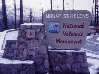
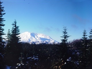
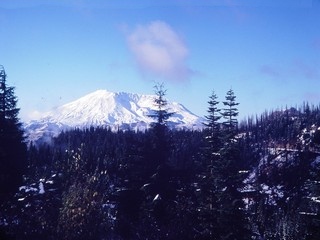
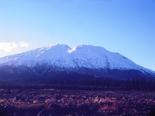
Mount Saint Helens
Steven Dutch, Professor Emeritus, Natural and Applied Sciences, Universityof Wisconsin - Green Bay
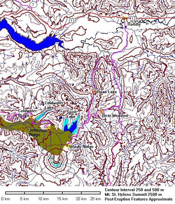
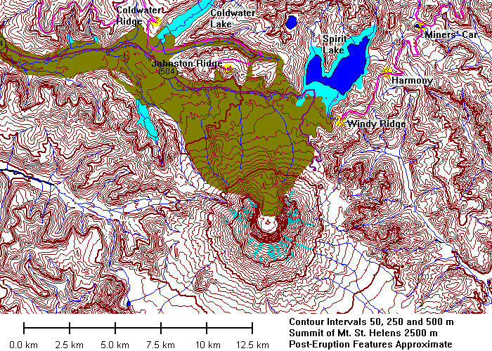
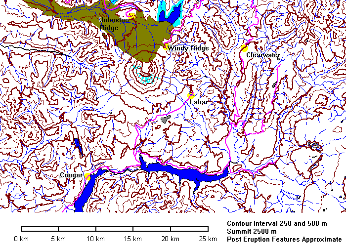
Data for Mount Saint Helens is somewhat ambivalent. The topography availableonline from the U.S. Geological Survey dates from 1981 and shows changes due tothe eruption. But all the other data layers - hydrography, roads, and so, datefrom 1978! Thus the data show the pre-eruption glaciers, outline ofSpirit Lake, and the now-buried course of old state highway 504. On the mapsabove, the buried highway is dark purple, new lakes are light blue and thedebris flow is light brown.
Data for Mount Saint Helens is somewhat ambivalent. The topography availableonline from the U.S. Geological Survey dates from 1981 and shows changes due tothe eruption. But all the other data layers - hydrography, roads, and so, datefrom 1978! Thus the data show the pre-eruption glaciers, outline ofSpirit Lake, and the now-buried course of old state highway 504. On the mapsabove, the buried highway is dark purple, new lakes are light blue and thedebris flow is light brown. Post-eruption data from U.S. Forest Service maps.
 |
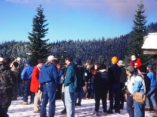
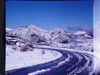
October 29, 1994 |
Bear Meadow
 |
Bear Meadow was the site of one of the most famous series of Mount
St. Helens eruption photographs. The photographer, Keith Ronnholm, wisely
fled when the eruption cloud got close, but the blast stopped less than
a kilometer away.
However, other people the morning of the eruption were also fleeing for safety and were caught and killed less than a kilometer from the edge of the blast zone. |
 |
|
 |
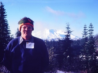
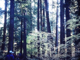
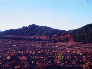
Healthy trees in the foreground with standing scorched trees on
the skyline. That's me, below. There are few pictures of me on this site because I'm usually the one behind the camera. |
 |
 |
|
|
 |
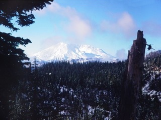
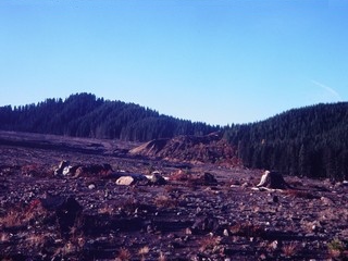
In this view, standing scorched trees are visible on the skyline to the right of the pair of nearby trees. |
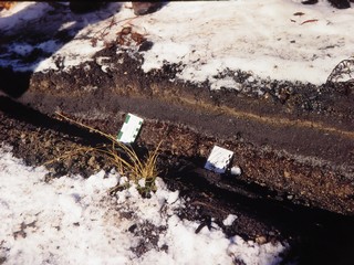
Ash Layers at the Miners' Car
 |
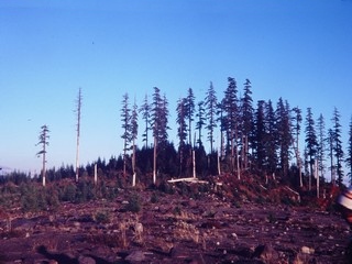
Standing burned timber. The miners were not far from safety. |
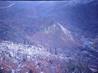 |
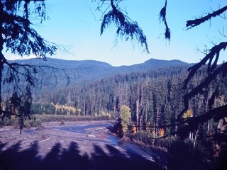
Looking down toward Clearwater creek Valley. |
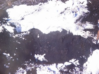 |
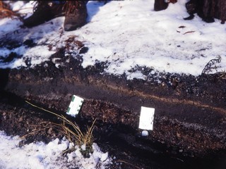
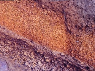
Left and below: 1980 ash on top of older pumice deposits. |
 |
 |
Windy Ridge
|
 |
|
|
|
The grooves across the crest of the ridge were scoured by the 1980 pyroclastic flow. |
Mount Saint Helens
|
|
|
|
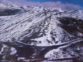
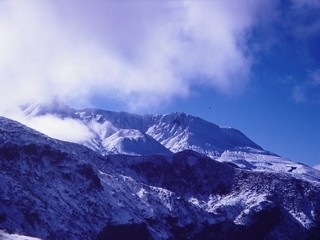
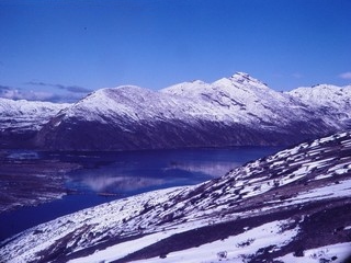
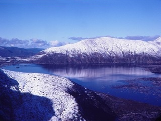
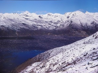
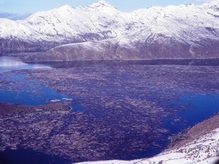
Landslide and Spirit Lake
|
|
|
|
|
|
|
|
 |
|
|
|
|
|
|
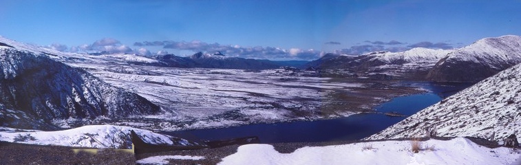
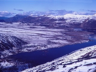
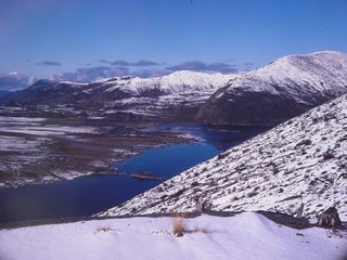
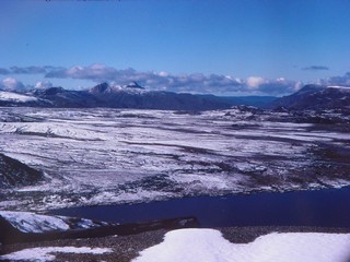
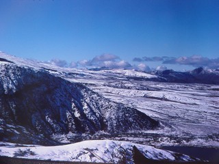
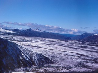
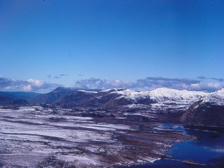
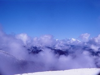
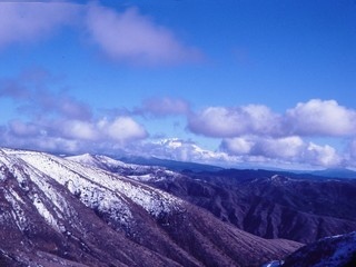
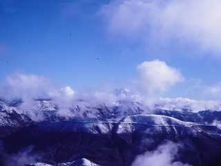
Views East From Windy Ridge
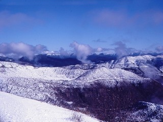 |
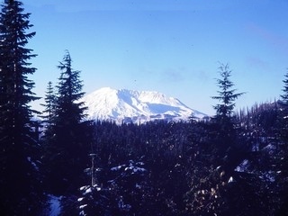
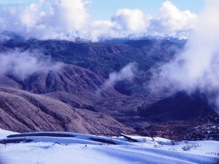
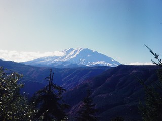
Mount Adams can be seen above the clouds in some views. |
 |
 |
 |
 |
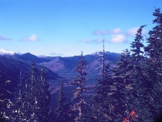
Clearwater Overlook
 |
|
 |
|
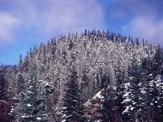
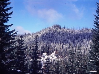
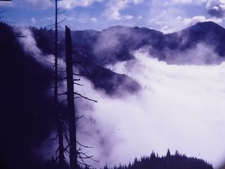
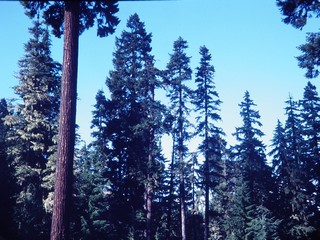
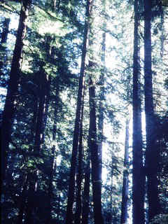
The forest in the blast area once looked like this. |
|
|
|
|
|
|
|
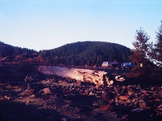
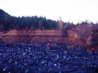
Lahar
|
|
|
|
|
|
|
|
|
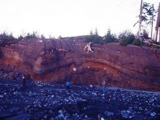
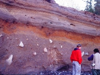
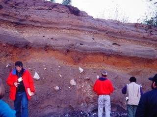
Distant view of Mount Adams looking east. Below: pumice layers in the banks of the streem. The apparent folds are not really folds, just the land surface the pumice was deposited on. |
|
|
|
|
|
|
Old pumice layers. |
|
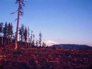
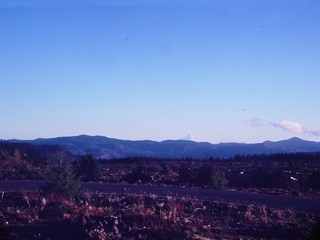
Looking south, summit of Mount Hood in the distance. |
|
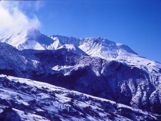
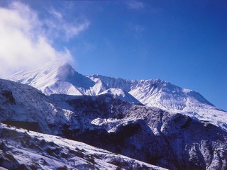
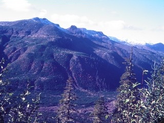
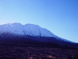
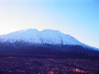
Views of the southeast side of Mount St. Helens. |
 |
|
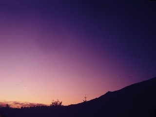 |
The 1991 eruption of Mount Pinatubo in the Philippines was still creating colorful sunsets. |
Return to Historic Sites Index
Return to Virtual FieldTrips Index
Return to Professor Dutch's Home Page
Created 15 April 2003, Last Update 08 June 2020