Mount Shasta, California
Steven Dutch, Professor Emeritus, Natural and Applied Sciences, Universityof Wisconsin - Green Bay
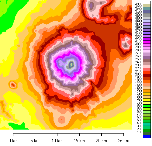 |
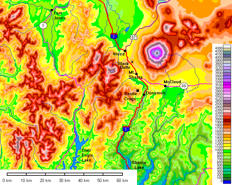
Map of Mount Shasta. The small bump to the west is Black Butte. As conspicuous as Shastina is from the ground, it is barely a bump on the huge cone of Mount Shasta. |
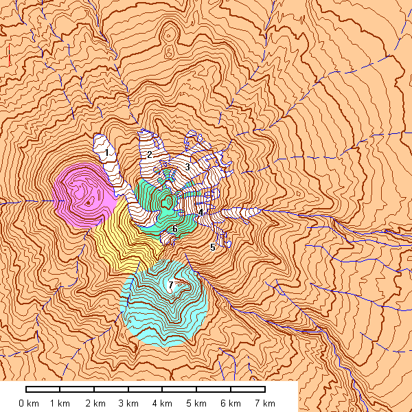
Map of glaciers and volcanic geology of Mount Shasta. The glaciers are: 1 - Whitney, 2 - Bolam, 3 - Hotlum, 4 - Wintun, 5 - Watkins, 6 - Konwakiton and 7 - Mud Creek. Ancestral Mount Shasta collapsed in a spectacular landslide about 300,000 years ago and only remnants of the old cone are known (apart from the landslide). Sargent Ridge (blue) is about a quarter of a million years old and Misery Hill (yellow) about half that age. The Hotlum Cone (green) and Shastina (pink) are Holocene, although Shastina is far better preserved.
Climbing Mount Shasta
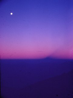 |
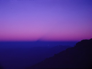
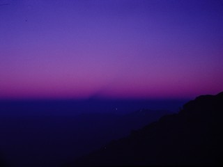
July 30, 1969 I started climbing about 2 A.M. under a bright moon. Note to self: remember where you park if you start climbing before dawn! As it got light, I saw the shadow of Mount Shasta cast on the atmosphere. It's actually the shadow cone of the mountain and has the same shape for all peaks. But it's still impressive. |
 |
 |
 |
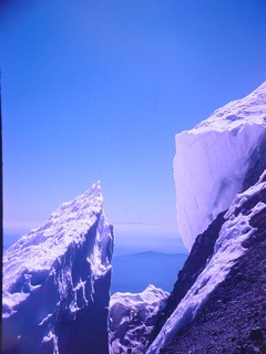
Is this a scene from another planet, or what? |
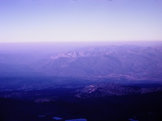 |
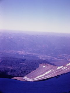
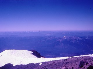
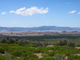
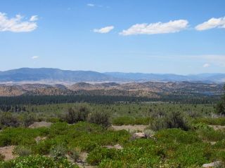
Looking west toward the Trinity Alps. |
 |
 |
 |
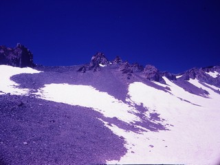
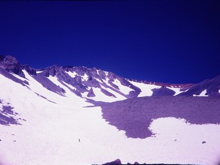
Red Banks is the red layer (a mudflow) in the saddle. This was not as easy as it looks. The snow was still hard and icy and the rubble was coarse. Once I got to the steep snow I opted to get off to the side and climb the talus along the edge. |
 |
 |
 |
The Red Banks. |
 |
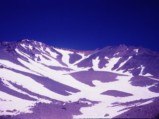
Looking back. Maps show a tiny lake behind that central hump and maybe there is in fall when all the snow is gone, but there is no sign of it here. |
 |
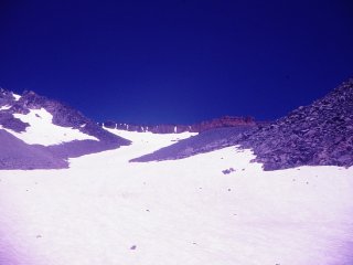
Red Banks was surprisingly hard to climb even though it was only a few feet high. Too high to simply crawl over, too crumbly for good handholds, and nasty falls down steep slopes if you slipped. Fortunately, someone else had nailed a rope to the bank. |
 |
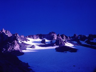
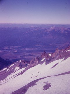
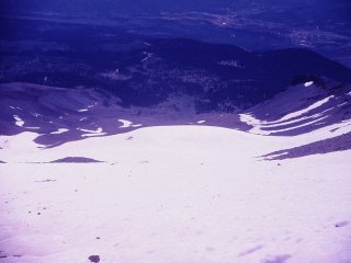
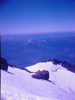
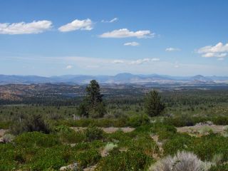
Looking west. The white patches on the far skyline are small glaciers. They are below 9000 feet in elevation, at about the extreme limit for permanent ice in this latitude and climate. I would not have been surprised to find they had vanished, but according to a 2005 study, they appear to be holding their own. |
 |
Bergschrund on the cirque wall of the Konwakiton Glacier. |
 |
Bergschrund on the cirque wall of the Whitney Glacier. Note the shallow graben formed by extension of the ice. |
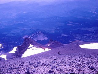 |
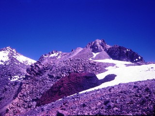
The only other person I met all day. Red banks are on the spur to the left and the upper part of the Konwakiton Glacier is the large snowfield below them. |
 |
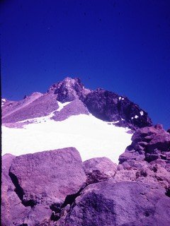
Getting close. |
 |
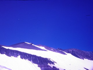
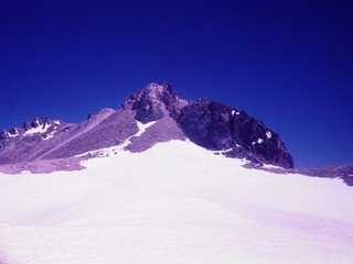
The summit at last. All I had to do was struggle up that last slope, aptly named Misery Hill. It seemed to take forever. And then... |
 |
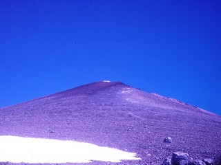
Oh, nice fake! You can't see the true summit from that angle. |
 |
The present summit is the Hotlum Cone, of Holocene age, though it has not been kindly treated by glaciation and erosion. |
 |
So near and yet so far. The snow was full of deep melting pits and I had no ice gear. I decided to call this good enough. |
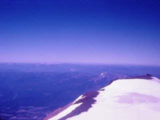 |
This ice is one of the two sources of the Whitney glacier. |
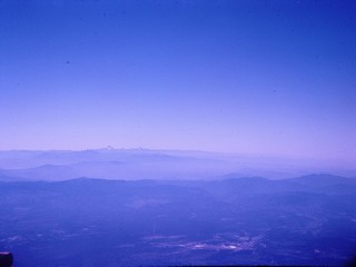 |
Looking south. Mount Lassen is on the skyline at left center. |
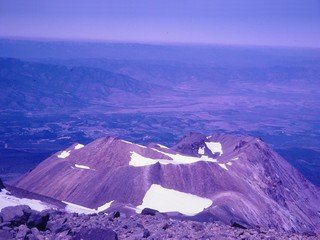 |
The Whitney Glacier is the longest glacier on Mount Shasta (indeed,
in California) and flows north between Shasta and Shastina. Note how
fresh the cone looks. Now what we have here is your basic dumb luck. No amount of skill and planning can substitute for luck. When I climbed Mount Shasta in 1969, the megaslide had not yet been recognized. This shot of Shastina also captured the slide - the hummocky terrain - beyond. |
Ever forget where you parked your car in a parking lot? Try forgetting where you parked on a mountain. I hadn't correctly noted the location of the car, got back to where I thought I'd left it, and it wasn't there! After some fruitless searching, I decided I had no choice but to go down on foot and get help. A quarter of a mile later, there it was.
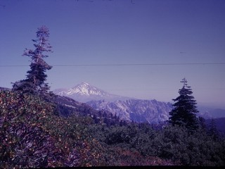
Ground Views of Mount Shasta
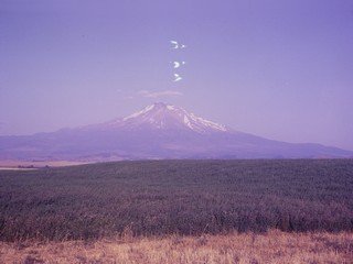 |
Mount Shasta being attacked by UFO's. They're not clouds - note
the real cloud above the summit. Would it help if I told you it was about 95 degrees and very dry? I strongly suspect those are static discharges between film layers. It has been the occasional bane of film photographers for years. It's so hard to study in the lab that one writer said it was enough to make you wonder about witchcraft. |
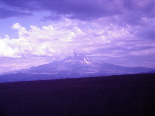 |
The almost identical photo angle, with dramatic clouds. |
 |
Mount Shasta and Shastina from the summit of Black Butte. |
 |
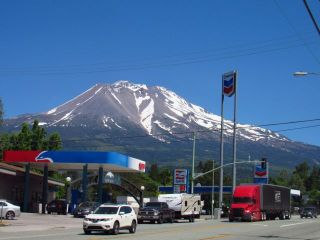
Mount Shasta and Shastina from the town of Mount Shasta. |
 |
Mount Shasta from above Castle Crags. |
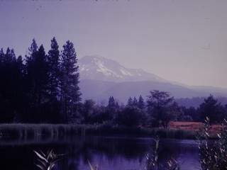 |
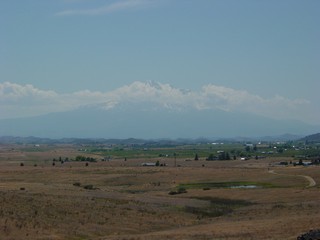
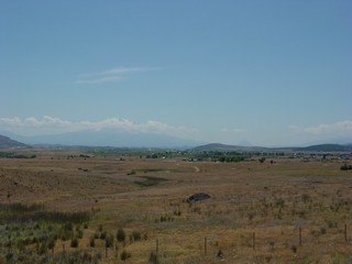
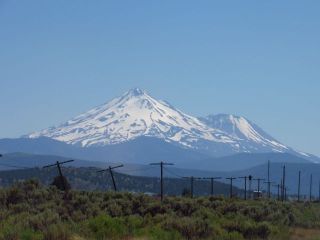
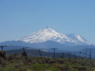
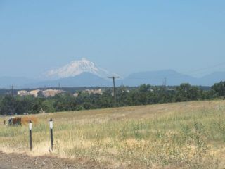 | Distant view from near Redding. |
 |
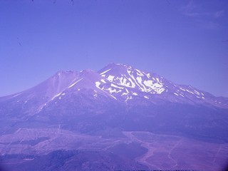
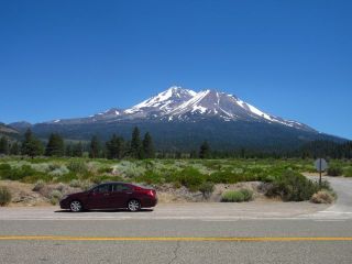
The immensity of Mount Shasta is, well, just immense. It has the greatest volume of any Cascade Range volcano. |
 |
|
 |
 |
 |
 |
 |  |
 |
 |
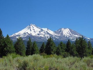
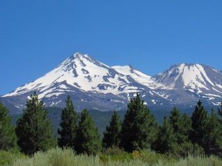
 | Shasta and its satellite cone, Shastina. |
 |
Castle Crags is a maze of granite pinnacles just south of Mount Shasta, and a state park. |
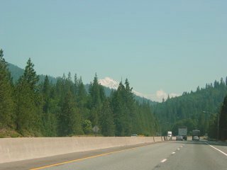 |
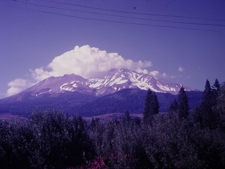
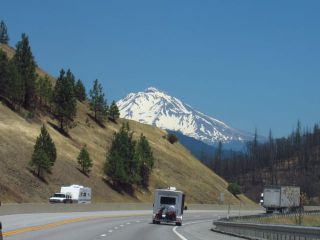
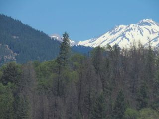
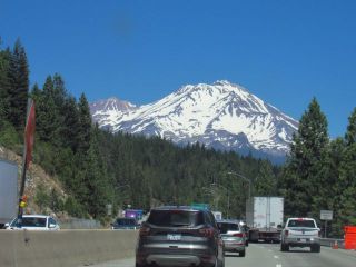
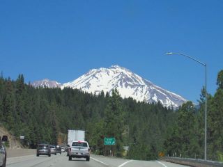
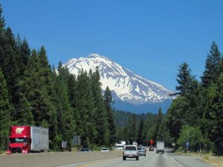
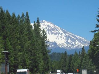
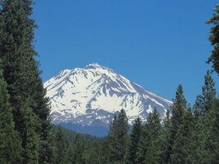
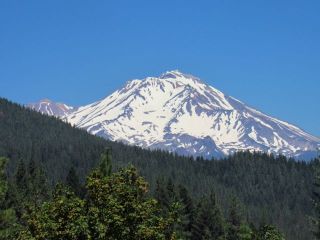
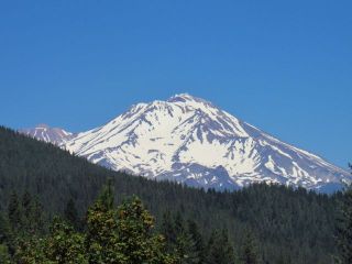
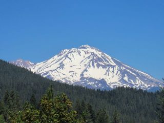
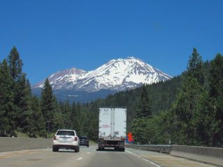
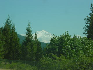
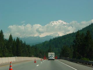
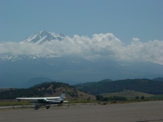
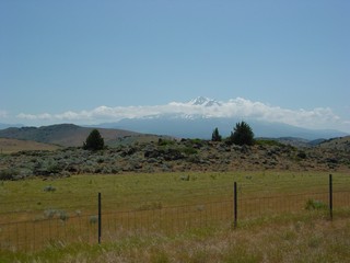
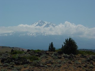
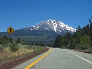
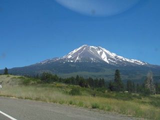
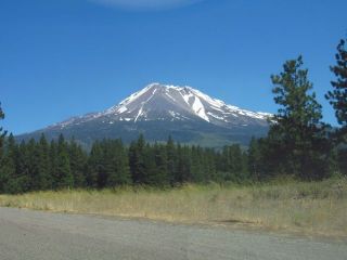
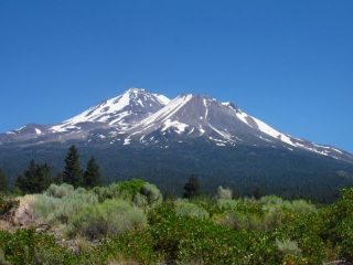
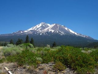
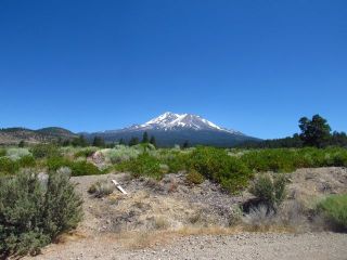
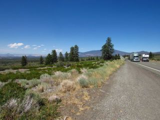
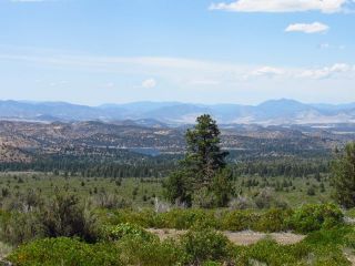
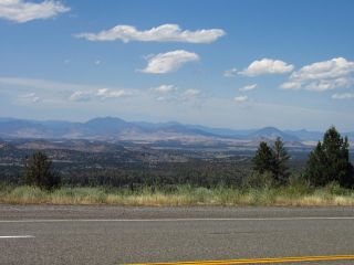
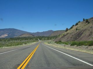
Views approaching Mount Shasta from the south on Interstate 5. |
 |
 |
 |
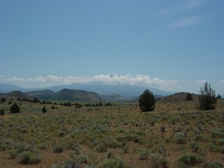
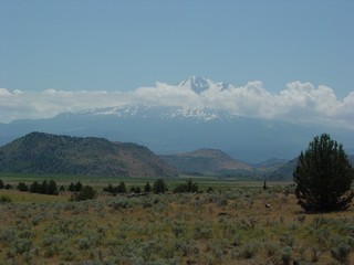
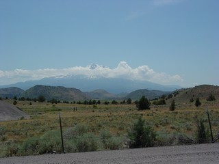
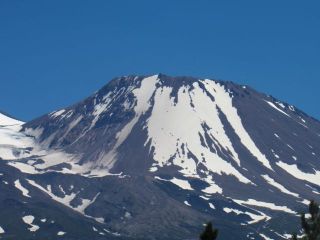
Views of Mount Shasta from the north, including the mega-slide. |
 |
 |
 |
 |
 |
 |
 |
Views From the North
 |
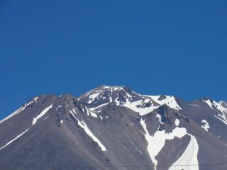
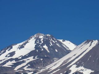
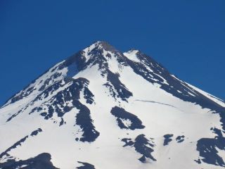
Below: views of the summit. |
 |
 |
 |
|
 |
View from Weed |
 |
 |
 |  |
 |
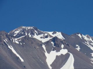
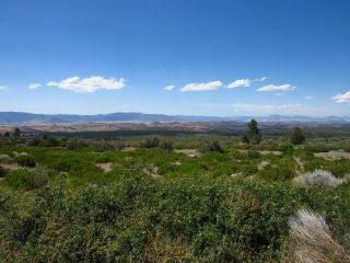
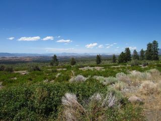
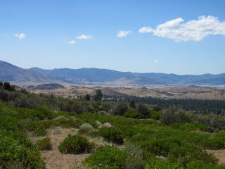
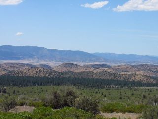
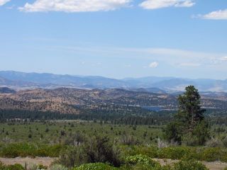
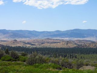
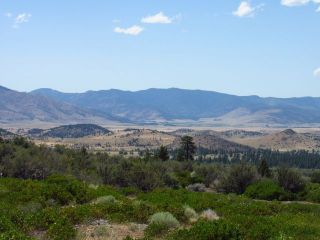
Views of the Mega-Slide from the East
 |  |
 |  |
 |  |
 |  |
 |  |
 |  |
 |  |
 |  |
Views of Mount Shasta from the North
 | |
 | |
 | |
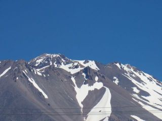
 | Viewed from the north, the summit of Mount Shasta looks very sharp. |
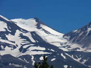 |  |
 | Above and left: The Whitney Glacier flowing down between Shasta and Shastina |
| Looking south from near the Oregon state line. | |
 |  |
Return to Historic Sites Index
Return to Virtual FieldTrips Index
Return to Professor Dutch's Home Page
Created 7 April 2003, Last Update 08 June 2020