Mount Shasta Megaslide, California
Steven Dutch, Professor Emeritus, Natural and Applied Sciences, Universityof Wisconsin - Green Bay
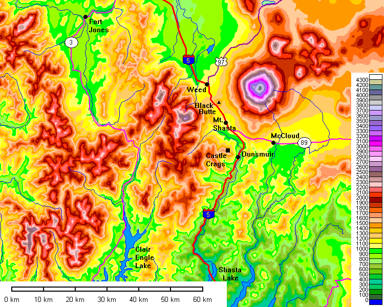
Above: reference map of the Mount Shasta area.
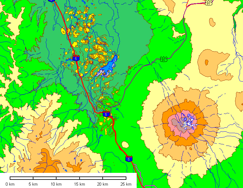
After Mount Saint Helens collapsed in 1980, geologists realized that volcanic collapse is a common feature of the life history of volcanoes and began looking for other examples. There are now several hundred known. About 300,000 years ago Mount Shasta collapsed in an event that must have destroyed most of the volcano. In the map above, contours are at 500 meter intervals, with the lowest being 1000 meters and the highest on the summit of Mount Shasta at 4000 meters. In the slide area, contours are 50 meters and major blocks are yellow. The fact that slide blocks show up on a map with fifty meter contour intervals gives you some idea how big they are.
As impressive as volcanoes are, they're sloppily constructed. Not only are they piles of alternating lave flows, mudflows and ash, but acidic fluids from the magma eat them away from within. Small wonder they collapse frequently.
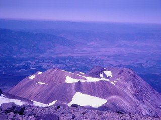 |
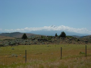
Now what we have here is your basic dumb luck. No amount of skill
and planning can substitute for luck. When I climbed Mount Shasta in 1969, the megaslide had not yet been recognized. This shot of Shastina also captured the slide beyond. |
 |
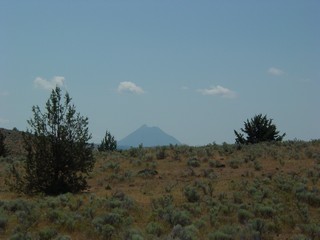
Mount Shasta being attacked by UFO's. They're not clouds - note
the real cloud above the summit. I strongly suspect those are static
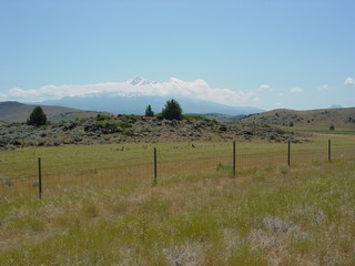
discharges between film layers. The hummocky landslide terrain just peeps over the grassy hill. Shastina is directly in line with the summit here and is not easily visible because of the lighting. The vantage point here is on the far side of the valley in the top center of the picture above |
 |
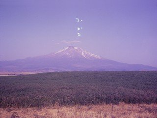
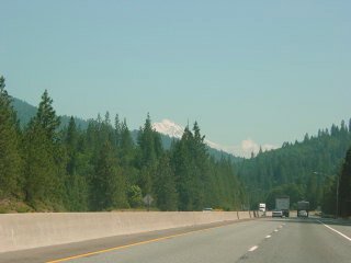
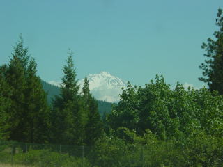
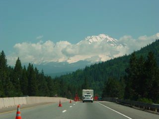
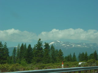
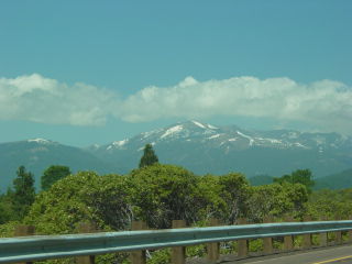
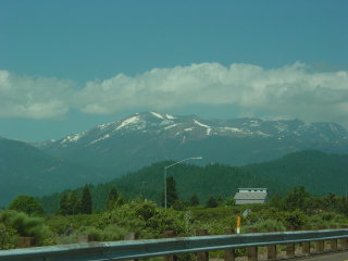
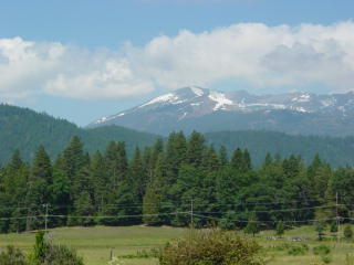
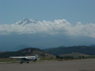
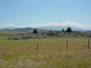
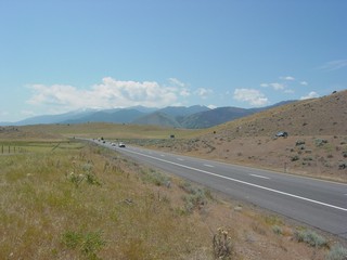
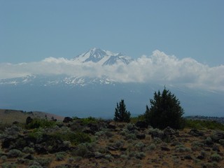
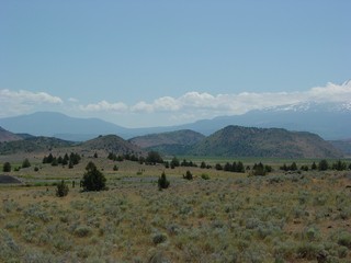
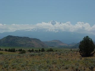
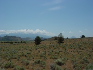
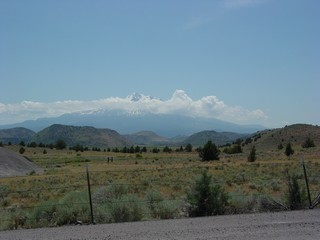
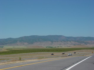
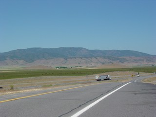
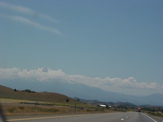
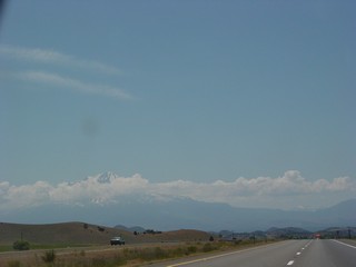
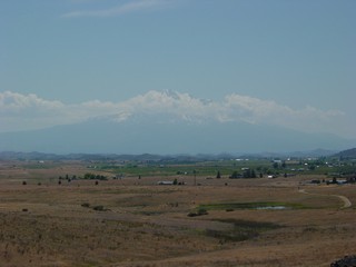
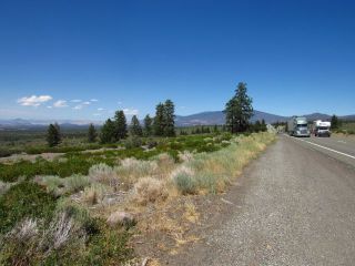
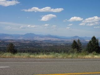
Views approaching Mount Shasta from the south in 2003. I had not been here since 1969 and one thing I had forgotten was how immense the mountain is. Rainier is higher but Shasta has more mass. And even though you can see Rainier from sea level, its base is actually pretty high. Shasta, on the other hand, rises about 10,000 feet above its surroundings. |
 |
 |
 |
|
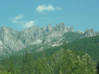 |
Castle Crags, a maze of granite pinnacles and also a state park. |
 |
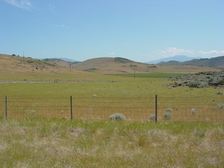
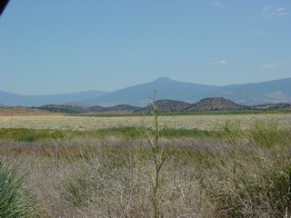
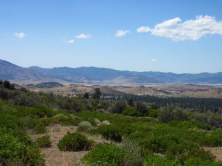
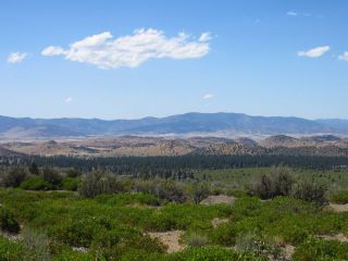
Left and below: views of the Trinity Mountains west of Mount Shasta. |
 |
 |
 |
|
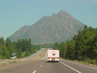 |
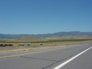
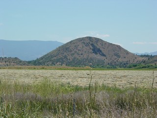
Black Butte is a Holocene plug dome at the western base of Mount Shasta. The smooth cone is actually mostly talus from the solid dacite core. |
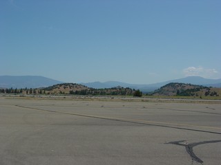 |
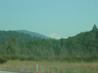
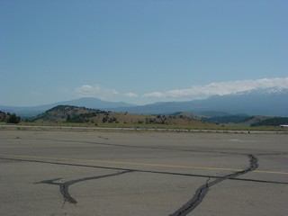
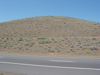
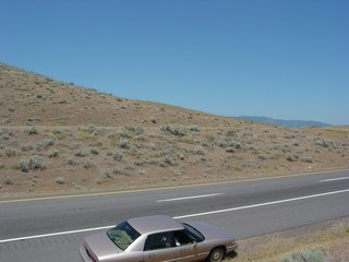
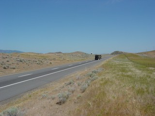
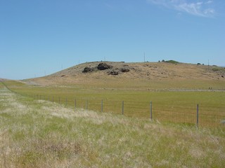
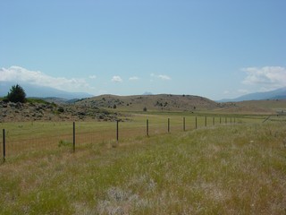
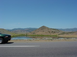
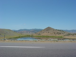
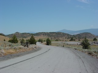
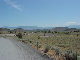
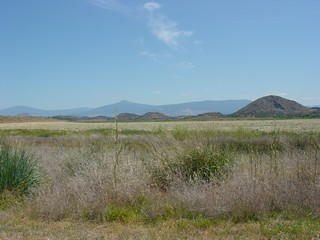
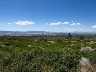
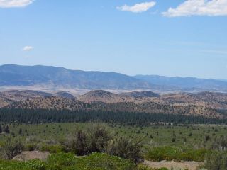
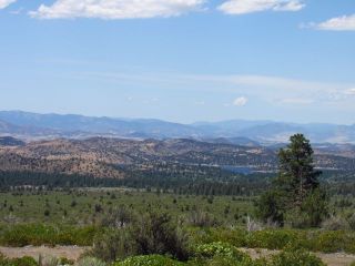
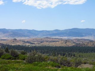
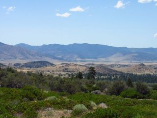
So I pulled off at the first place I could and gaped. No wonder
this wasn't recognized for so long. The blocks are so flippin' huge!
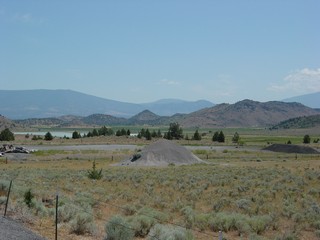
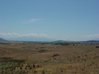
Those hills are landslide blocks. Psalm 114 says "the mountains skipped like rams, the hills like lambs." I can believe it happened here. |
 |
 |
 |
 |
 |
 |
 |
 |
 |
 |
 |
 |
 |
 |
 |
 |
 |
 |
 |
 |
 |
 |
 |
 |
 |
 |
 |
 |
 |
 |
 |
 |
 |
 |
 |
 |
 |
 |
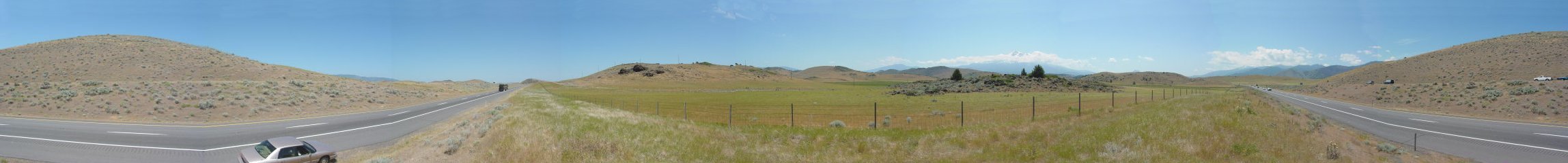
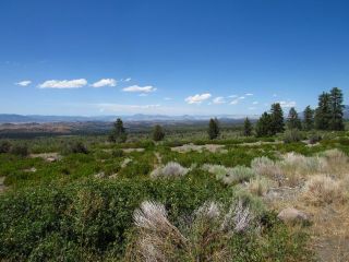
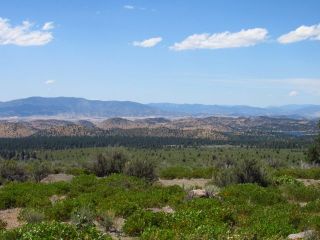
The panorama below begins looking west, looks north along Interstate 5, swings east and southeast over the slide area and Mount Shasta, then looks south along Interstate 5 before completing a 360-degree pan.
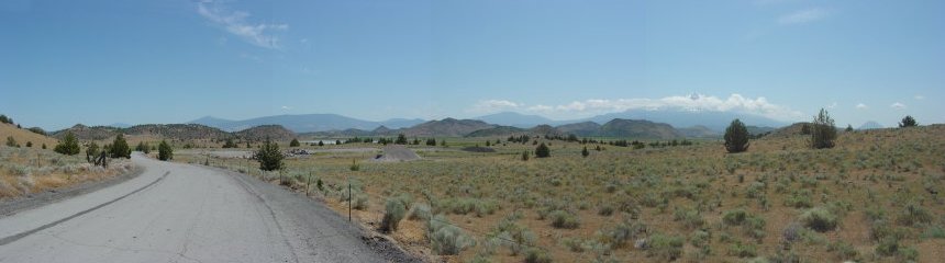
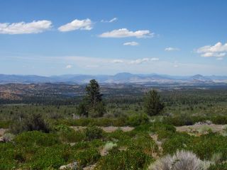
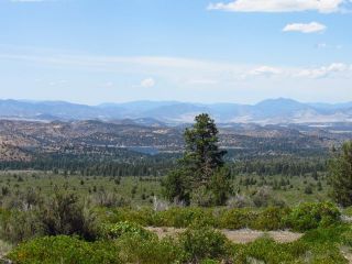
The pan below looks mostly east and south. Black Butte peeps over the hill between the two rightmost trees.
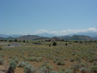
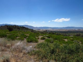
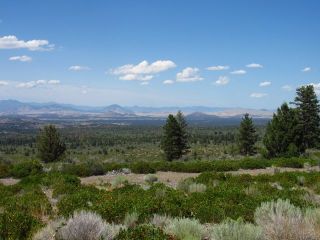
Views of the Mega-Slide from the East
 |  |
 |  |
 |  |
 |  |
 |  |
 |  |
 |  |
 |  |
Return to Historic Sites Index
Return to Virtual FieldTrips Index
Return to Professor Dutch's Home Page
Created 7 April 2003, Last Update 06 June 2020