Columbia River and Grand Coulee
Steven Dutch, Professor Emeritus, Natural and Applied Sciences, Universityof Wisconsin - Green Bay
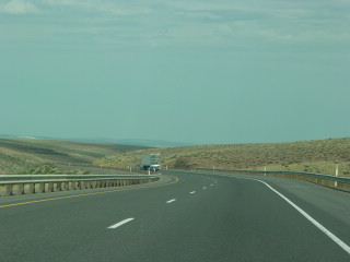 |
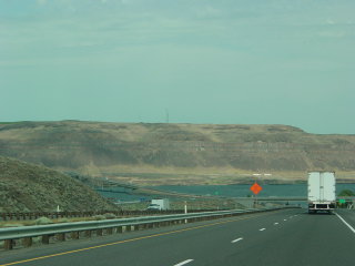
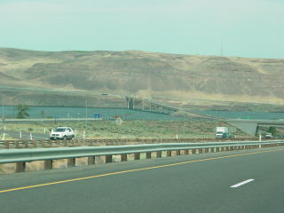
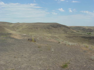
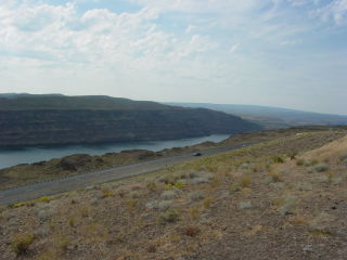
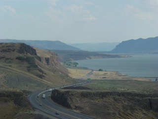
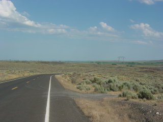
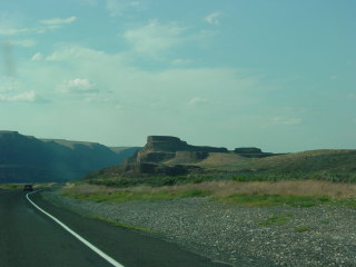
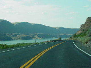
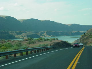
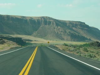
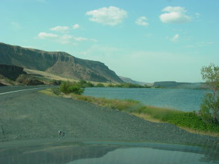
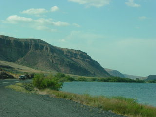
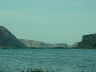
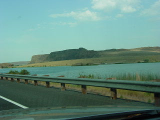
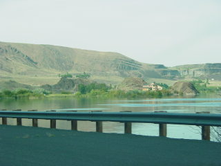
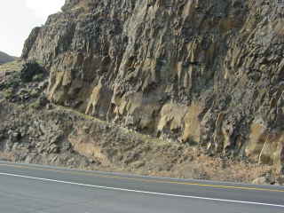
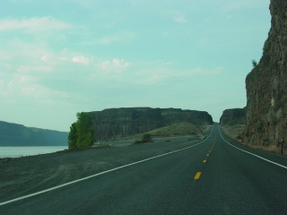
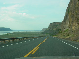
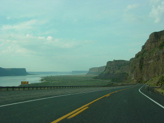
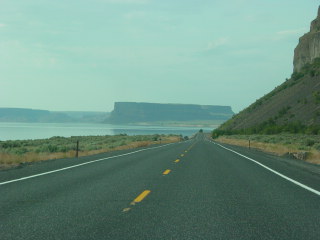
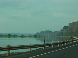
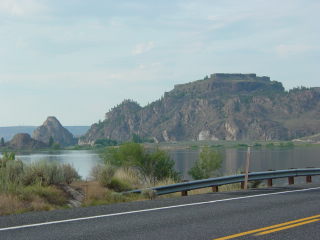
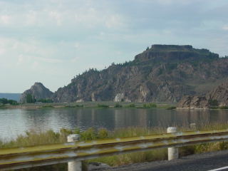
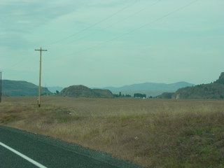
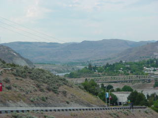
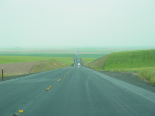
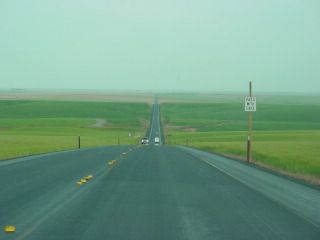
These photos were taken in June, 2003. Left and below: approaching the Columbia River from the west. |
 |
 |
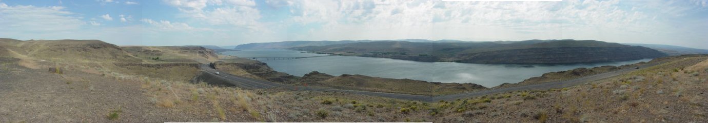
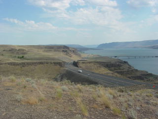
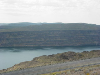
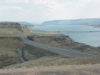
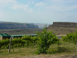
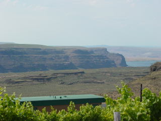
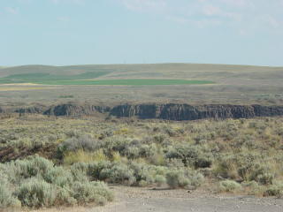
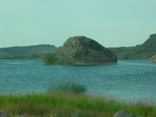
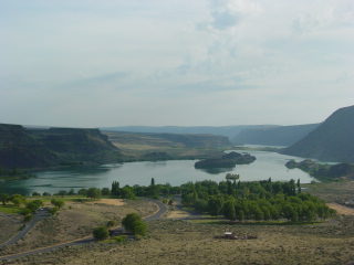
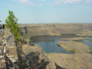
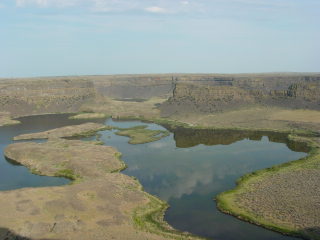
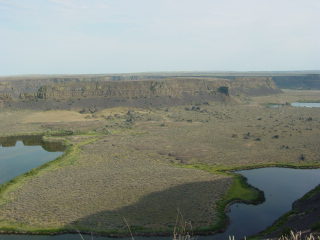
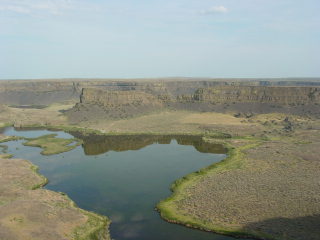
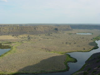
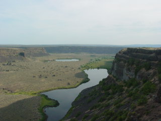
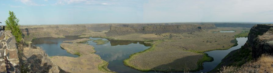
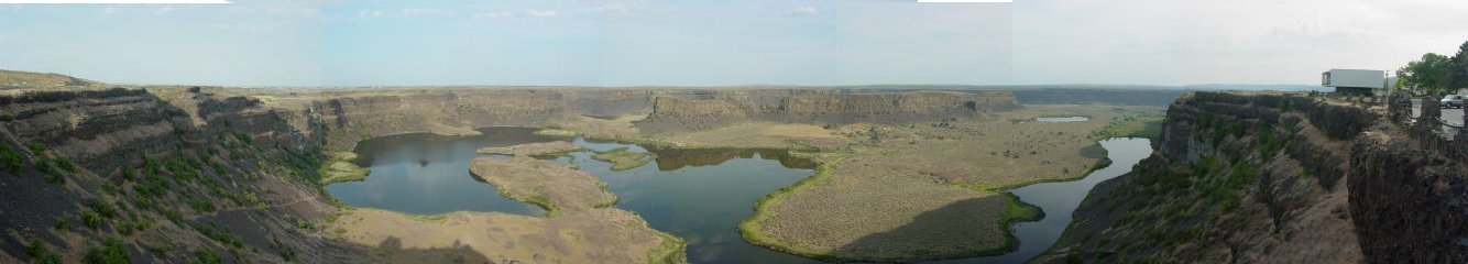
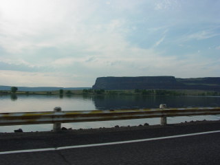
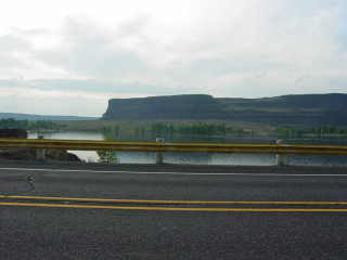
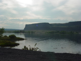
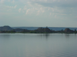
Below: panorama from Wild Horse Overlook on the east bank just north of the I-94 bridge.
 |
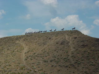 |
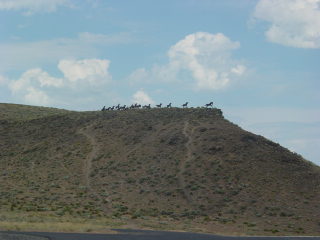
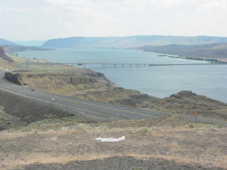
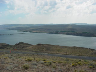
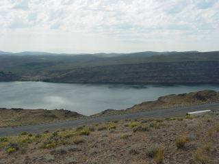
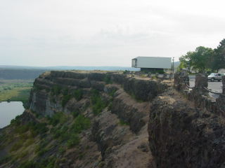
| Above: a wild horse sculpture decorates the skyline above the view point. | Below: views of the river and gorge from the overlook. |
 |
 |
 |
 |
 |
 |
 |
 |
 |
From the River to Ephrata
 |
 |
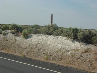 |
Above: just off I-94 is The Gorge amphitheater, a popular venue
for - what else - rock concerts? Left: Diatomite is common in this area. In fact, the turnoff here is called Silica Road. |
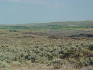 |
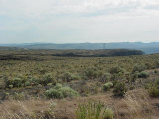
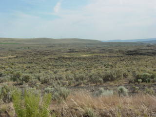
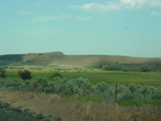
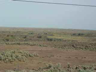
Left and below: low relief scabland along State Highway 283. |
 |
 |
 |
 |
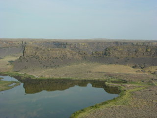
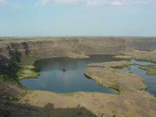
Lower Grand Coulee
 |
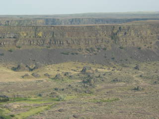
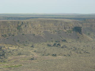
The retreat of the waterfall at Dry Falls carved Lower Grand Coulee. |
 |
 |
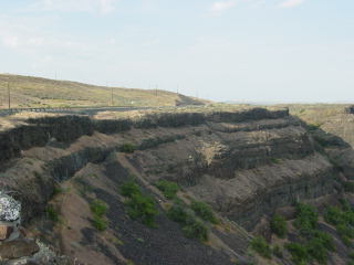
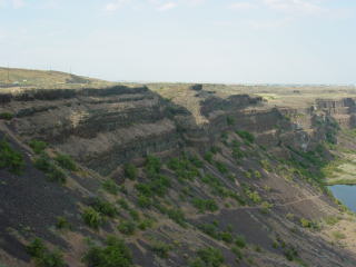
| Above: note the truncated valleys on the cliff tops. | Below: Tilted flows mark a monocline that determined the course of Grand Coulee. |
 |
 |
 |
 |
 |
 |
 |
 |
 |
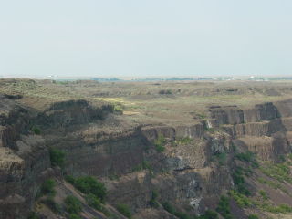
Looking southwest down Lower Grand Coulee from just south of Dry Falls. |
 |
Flow contact near dry Falls. |
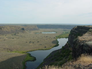
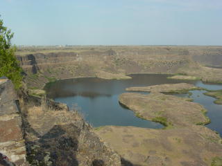
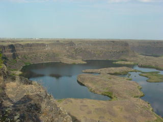
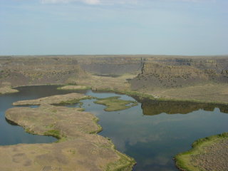
Dry Falls
No geologist can go to Valhalla without seeing this.
 |
 |
 |
 |
 |
 |
 |
 |
 |
 |
 |
 |
 |
 |
 |
 |
 |
 |
 |
Scabland terrain above Dry Falls. There is a wonderful view of scabland texture where US 2 crosses the valley, but it's impossible to stop on the bridge. |
 |
Looking into Upper Grand Coulee. This gorge implies the retreat of a waterfall far greater than the one preserved at Dry Falls. |
 |
Below: quite possibly the most impressive view of Upper Grand Coulee. Steamboat Rock is on the far left. |
 |
 |
 |
Left and below: Steamboat Rock is the steep mesa in the distance. |
 |
 |
 |
|
 |
The scablands are carved almost entirely in loess and basalt, so it's easy to get the notion that megafloods create only one kind of topography. But there are a few places where they scoured other kinds of rock, such as at the north end of Grand Coulee, where granite was plucked and scoured. Note the basalt cap on the flat-topped hill, with irregular granite beneath it. |
 |
 |
 |
 |
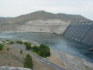
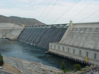
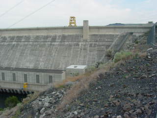
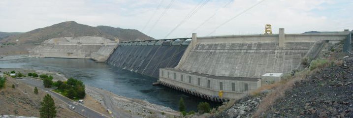
Grand Coulee Dam
A not so funny thing happened since I visited here in 1994, and as a result I wasn't able to drive across the dam like before.
 |
 |
 |
 |
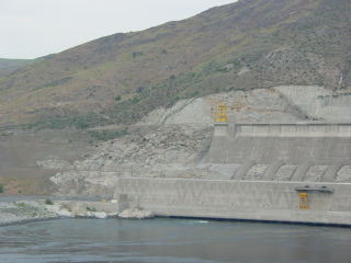 |
Left: granite outcrops at the north abutment of the dam. |
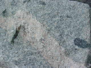 |
Left: inclusions and dike in granite boulder at the south end of the dam. |
Below: channels carved in loess on State Highway 174 between Grand Coulee Dam and U.S. 2.
 |
 |
Return to Virtual FieldTrips
Index
Return to Professor Dutch's Home Page
Created 7 April 2003, Last Update 09 June 2020