tahquamenonFalls, Michigan
Steven Dutch, Professor Emeritus, Natural and Applied Sciences, Universityof Wisconsin - Green Bay
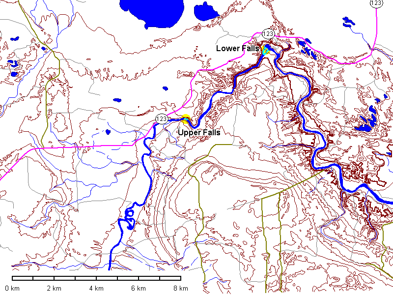
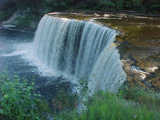
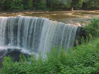
Upper Falls
 |
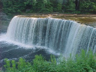
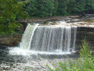
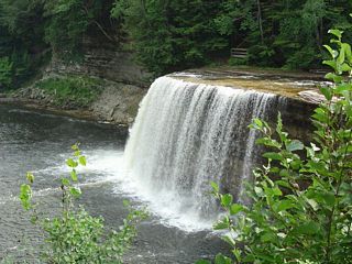
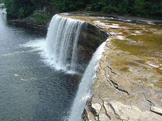
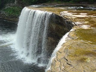
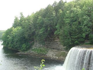
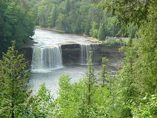
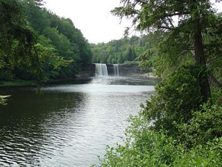
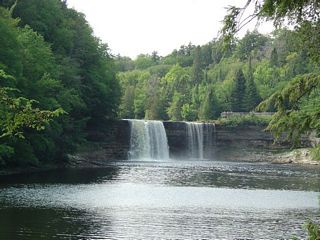
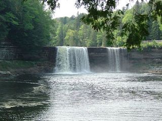
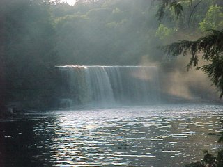
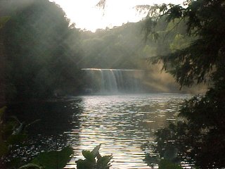
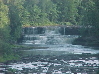
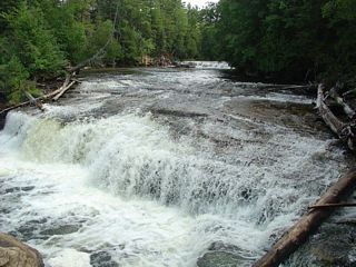
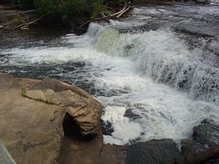
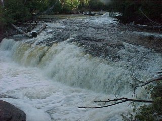
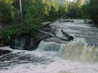
The upper falls are about 60 meters wide and 15 meters high. At
peak volume, their discharge is second only to Niagara Falls among free-falling
waterfalls east of the Mississippi. Admittedly, it's a distant
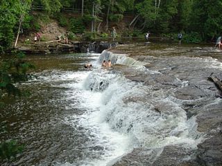
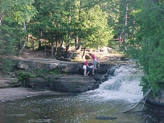
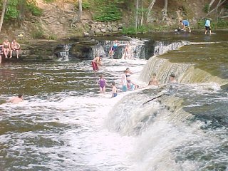
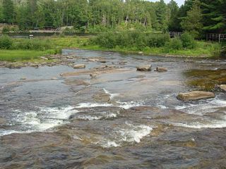
second. The falls flow over late Precambrian sandstone. Below are views of the upper falls, At high water (first four pictures) there is a continuous fall all the way across, but here at lower discharge the falls split. |
 |
 |
 |
 |
 |
 |
 |
 |
 |
 |
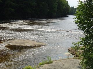
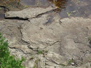
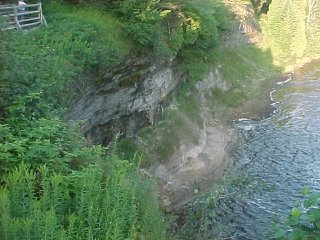
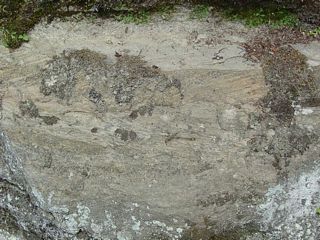
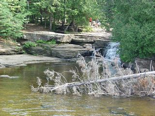
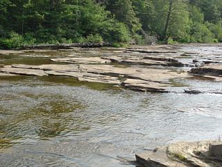
| Left: gorge downstream from the upper falls. | Below: sandstone outcrops in the river bed. |
 |
 |
 |
 |
 |
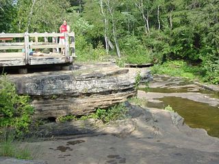
Above:Outcrops in the gorge below the falls. Left: Outcrops behind the falls. |
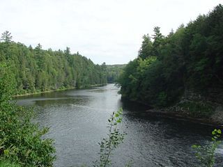 |
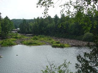
View downstream in the gorge. The river makes a U-turn to the left beyond the point in the distance. |
 |
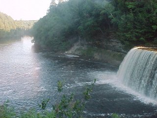
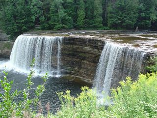
View of the falls from an overlook along the gorge. |
 |
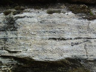
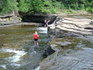
Left: sandstone outcrops along the staircase into the gorge. Below: cross-bedding. |
 |
 |
 |
|
 |
Left and below: distant views of the falls from the river bank. |
 |
 |
 |
 |
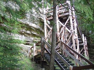 |
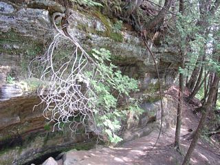
Left: a stairway leads into the gorge downstream from the falls. |
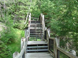 |
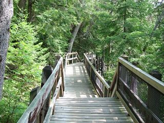
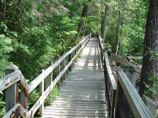
Left and below: a boardwalk along the gorge provides access to several view points. |
 |
 |
 |
Left: map of the upper falls. |
Lower Falls
 |
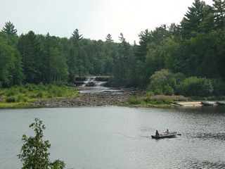
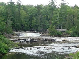
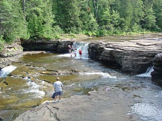
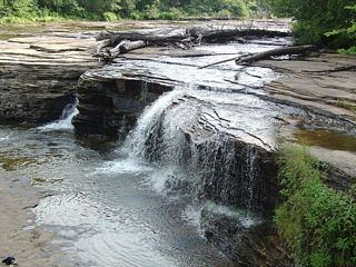
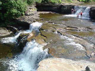
Lower tahquamenonfalls is a series of cascades and small falls with the highest about 3 meters high. The river divides around a small island. Below is the west channel. The only access to the island is via rental boat or wading. |
 |
 |
 |
Left: east channel |
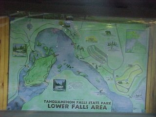 |
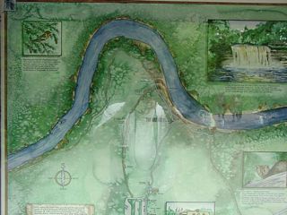
Left: Map of the lower falls area. The river here actually flows north around a small island. The west (left) channel is accessible by trail; the east (right) channel is accessible only from the island, which can be reached by rental boat or wading. |
 |
Left: falls in the west channel with view platform. The trail extends beyond the view platform all the way to the upper falls. |
 |
Left and below: The main falls on the west channel. The trail follows the north bank of the river. This channel carries the most water, so even at low water, access to the island requires wading. |
 |
 |
 |
 |
 |
 |
 |
Left: outcrops on the island. |
 |
Left: rapids downstream from the falls in the west channel. |
 |
Left: ripple marks in sandstone. |
 |
Left: sandstone bed of the east channel. |
 |
Left: falls overlook, east channel. Below: falls in the east channel. |
 |
 |
 |
 |
 |
Looking east and downstream from the tip of the island |
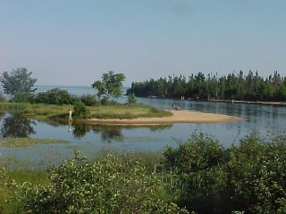 |
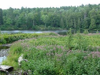
Left: mouth of the tahquamenonRiver where it enters Lake Superior. |
Return to Historic Sites Index
Return to Virtual FieldTrips Index
Return to Professor Dutch's Home Page
Created 18 August 2007, Last Update 06 June 2020