Terry Peak, South Dakota
Steven Dutch, Professor Emeritus, Natural and Applied Sciences, Universityof Wisconsin - Green Bay
Major Elevations in the Black hills
| Black Elk Peak (Harney Peak) | 7242 | 2207 |
| Odakota Mountain | 7200+ | 2195+ |
| Bear Mountain | 7172 | 2186 |
| Crooks Tower | 7137 | 2175 |
| Terry Peak | 7071 | 2155 |
| Crows Nest Peak | 7048 | 2148 |
| Sylvan Hill | 7000 | 2134 |
| Flag Mountain | 6937 | 2114 |
| Laird Peak | 6905 | 2105 |
| Custer Peak | 6804 | 2074 |
| Cement Ridge | 6674 | 2034 |
| Weston County High Point | 6620+ | 2018+ |
| Inyan Kara Mountain | 6368 | 1941 |
| Mount Rushmore | 5725 | 1745 |
| Rankin Ridge | 5013 | 1528 |
Location and Geologic Maps

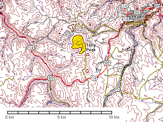
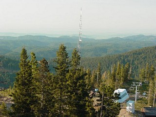
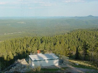
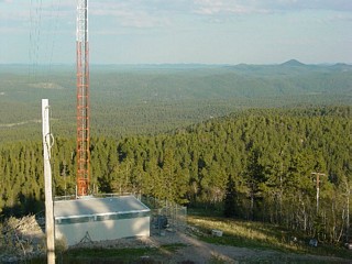
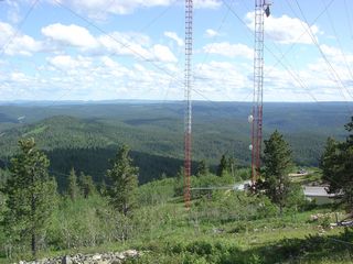
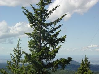
Terry Peak is only 150 feet lower than Harney Peak, but is easily accessible by road. The bedrock is Tertiary medium-grained granite. The League For Defacing Every Mountain With Towers has been busy on Terry Peak and the summit is a forest of communications towers. The slopes are being developed for ski resorts.
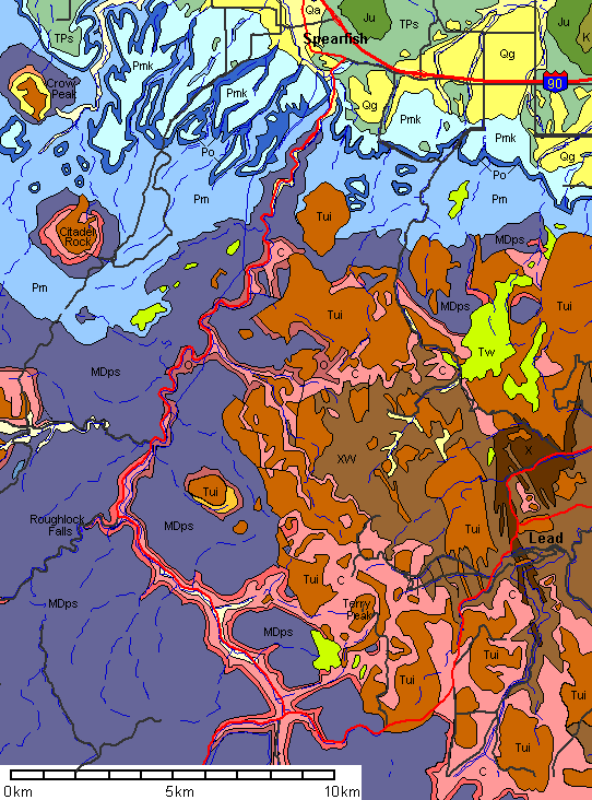 |
Qa: Quaternary Alluvium Qg: Quaternary Gravels Tw: Tertiary White River Group Tui: Tertiary Intrusives K: Cretaceous Ju: Jurassic TPs: Triassic-Permian Spearfish Formation Pmk: Permian Minnekahta Limestone Po: Permian Opeche Shale Pm: Permian-Pennsylvanian Minnelusa Formation MDps: Mississippian-Devonian Paha Sapa Limestone O: Ordovician Whitewood Limestone and Winnepeg Siltstone C: Cambrian Deadwood Sandstone X: Proterozoic Metamorphic Rocks XW: Proterozoic and Archean Metamorphic Rocks |
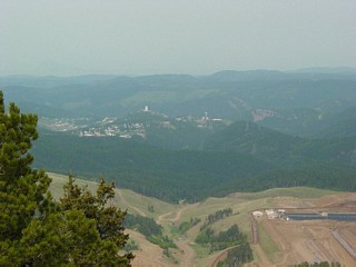 |
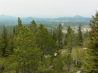
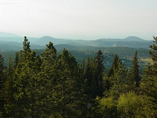
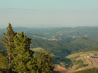
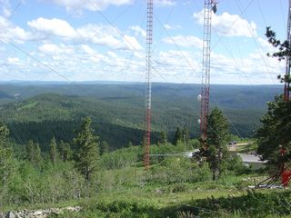
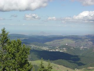
Left and below: Looking northeast over Lead |
 |
 |
 |
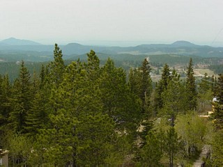
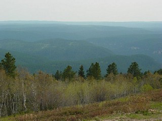
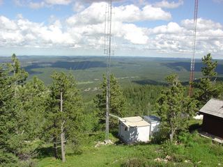
Looking north |
 |
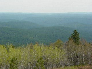
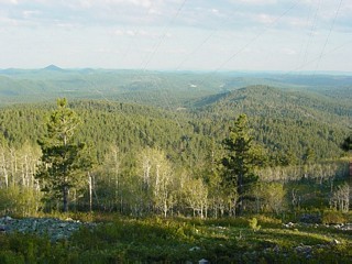
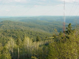
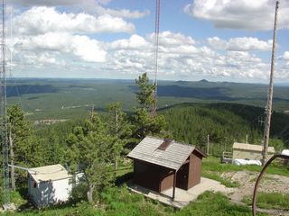
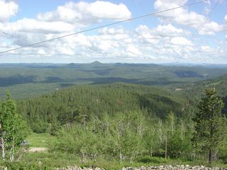
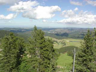
Looking northwest. The distant Peak is Crow Peak. |
 |
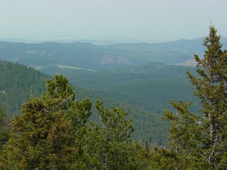
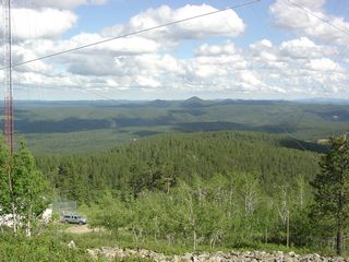
Left and below: views west and southwest. |
 |
 |
 |
|
 |
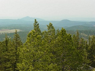
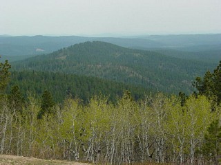
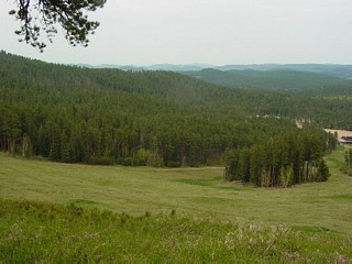
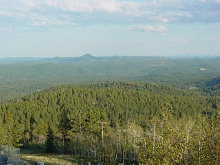
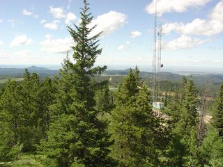
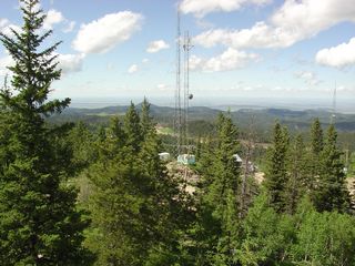
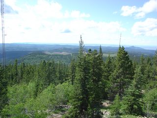
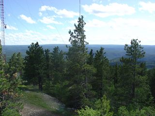
Looking east. The conical peak is Custer Peak. |
 |
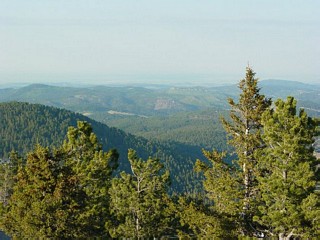
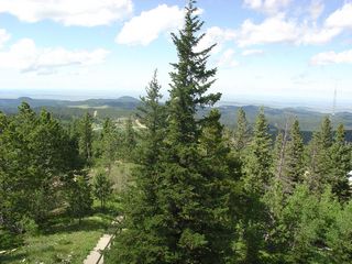
View south of the summit, looking east |
 |
 |
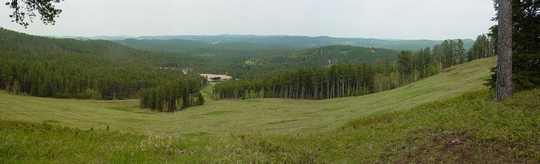
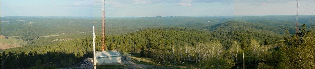
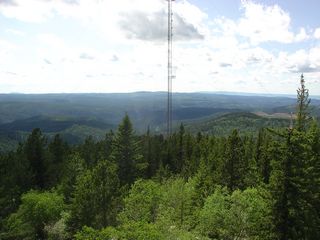
Panorama looking east
 |
 |
 |
Above: Looking northwest Left: Looking north Below: Looking northeast to Lead |
 |
 |
 |
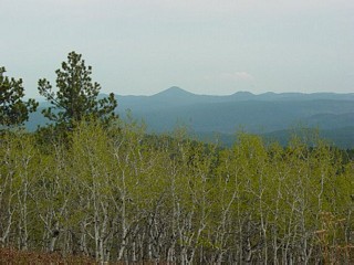
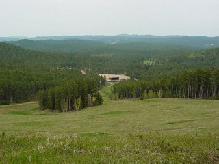
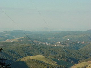
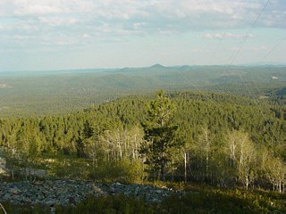
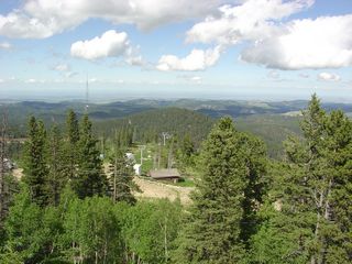
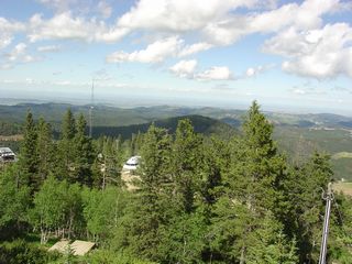
Looking southeast. The prominent conical peak is Custer Peak |
 |
 |
 |
 |
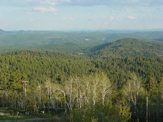 |
Left and below: looking south |
 |
 |
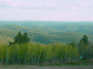 |
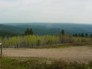
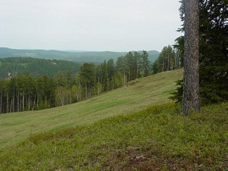
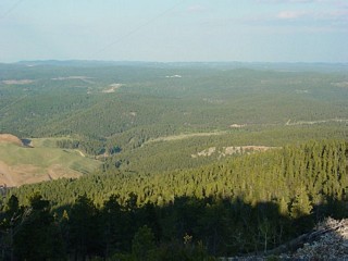
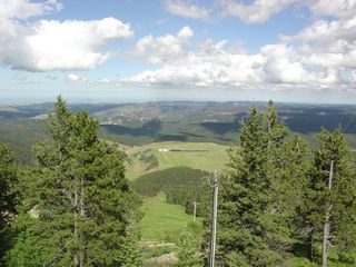
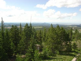
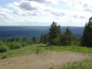
Looking southwest. |
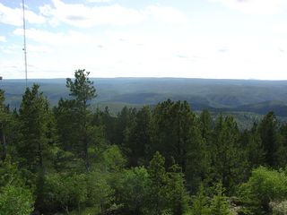
Panorama looking east (left) to south (right)
 |
 |
 |
Above: Looking south Left: Looking southeast |
 |
Left and below: Looking southeast. The distant conical peak is Custer Peak |
 |
 |
 |
Left and below: Looking east. |
 |
 |
 |
 |
 |
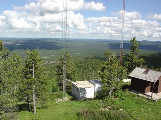
Left: Looking northeast to Lead Below: Looking north |
 |
 |
 |
 |
 |
 |
 |
Left: Looking northwest Below: Looking west and southwest |
 |
 |
 |
 |
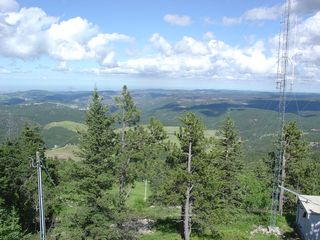
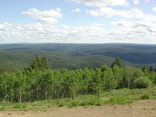
Near 360-degree panorama. photos were taken from multiple vantage points.

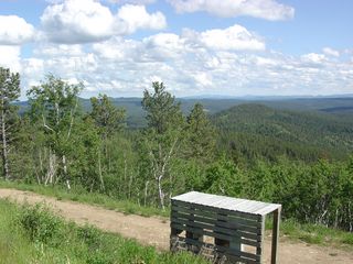 |
Left and below: Looking south and southwest from the south side of the peak. Black Elk Peak (Harney Peak) is on the distant horizon above the wooden structure. |
 |
 |
Panorama looking south and southwest from the south side of the peak.

References
Geologic map based on:
Strobel, M.L., Jarrell, G.J., Sawyer, J.F., Schleicher, J.R., and Fahrenbach, M.D., 1999; Distribution of hydrogeologic units in the Black hillsarea, South Dakota, U.S. Geological Survey Publication Series and Number: Hydrologic Investigations Atlas HA-743: Map Scale: 1:100,000
Return to Virtual FieldTrips
Index
Return to Professor Dutch's Home Page
Created 15 January 2005, Last Update 10 June 2020