Point Nemo and the Satellite Graveyard 50S 120W
Steven Dutch, Professor Emeritus, Natural and Applied Sciences, Universityof Wisconsin - Green Bay
Scale: 1 pixel = 10 km. 10-degree grid; Lambert Conformal Conic Projection, Center 50S 120W
Legend
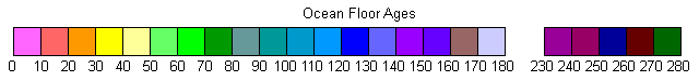
Ocean Floor Ages
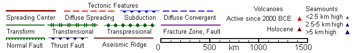
Tectonic Structures
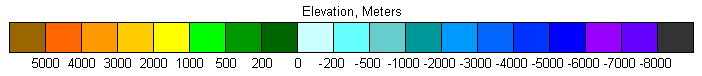
Topography
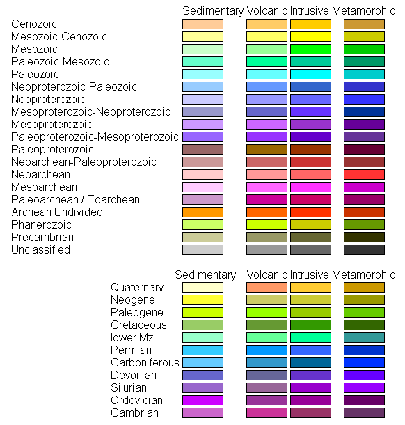
Land Geology
Discussion
This map includes the point on earth farthest from land (approximately 48.9S 123.4W, a bit northwest of the center of the map). This point is almost 2700 km from land in any direction, and defines a circle with an area of almost 5.7 million square kilometers with no land whatsoever. Because of its remoteness and the sparse ship traffic, this region is used for re-entry of spent satellites. Sub-ice topography is shown for Antarctica
Return to Global Geology Index.htm
Return to Professor Dutch's Home Page
Created 11 April 2014, Last Update 19 January 2020