Gulf of Guinea 0NS 0EW
Steven Dutch, Natural and Applied Sciences, University
of Wisconsin - Green Bay
Scale: 1 pixel = 5 km. 5-degree grid. Mercator Projection Center 00NS 30E
Return to Global Geology Index.
Legend
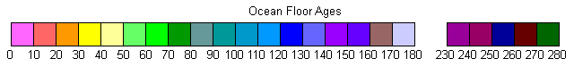
Ocean Floor Ages
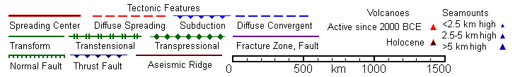
Tectonic Structures
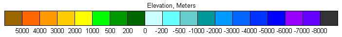
Topography
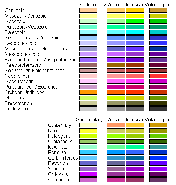
Land Geology
Discussion
Much of the East African Rift shows up in this series of maps. The Afar Triangle is visible in the far north. The match of opposing coasts of the Red Sea breaks down here, because the Afar Triangle is actually mostly exposed Red Sea ocean floor. Note the area below sea level (Danakil Depression). The real edge of Africa is the high scarp west and south of the Afar Triangle, which accommodates the corner of Yemen nicely.
Return to Global Geology Index.
Return to Professor Dutch's Home Page
Created 11 April 2014, Last Update
Not an official UW Green Bay site