Mongolia 45N 90E
Steven Dutch, Natural and Applied Sciences, University
of Wisconsin - Green Bay
Scale: 1 pixel = 5 km. 5-degree grid; Lambert Conformal Conic Projection, Center 45N 90E
Return to Global Geology Index.
legend
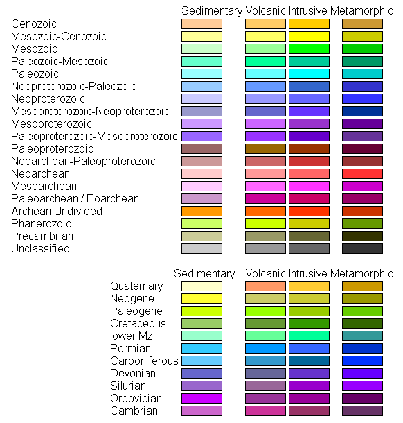
Land Geology
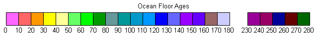
Ocean Floor Ages
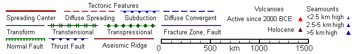
Tectonic Structures
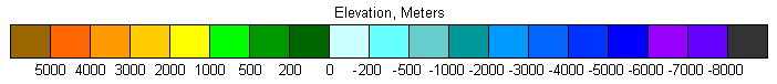
Topography
Discussion
Anything related to bathymetry is superfluous since this is the only map with no ocean at all visible.
The small area below sea level in the center of the map is the Turfan Depression. The volcano shown at the center is listed in numerous catalogs with a claimed eruption date of 1150 CE. But examination of Google Earth imagery fails to reveal any volcano.
Northwest of the Turfan Depression, at about 46.3°N 86.6°E is the Eurasian Pole of Inaccessibility, the point in Eurasia (and on earth) farthest from any seacoast, roughly 2500 km from the nearest seacoast.
Return to Global Geology Index.
Return to Professor Dutch's Home Page
Created 15 June 2014, Last Update
Not an official UW Green Bay site